


|
|
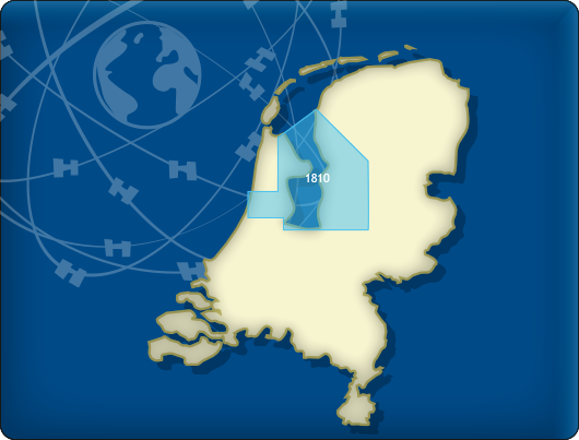
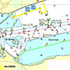
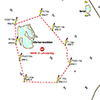
DKW 1810 IJsselmeer
Since 1999 Stentec Software produces the digital versions of the Dutch hydroraphical charts. Thanks to the weekly BaZ Update Service you will always have the latest, most up-to-date charts.
At a time like this, where there is no certainty about the releases of the paper 1800 chart series by the Dutch Hydrographic Services, this is a unique product. With the free weekly update service and the ability to use the charts on Windows devices as well as on Android devices, an up-to-date chart of these busy and unpredictable waters is always at hand. As soon as a new paper version of a chart set is released, users can download these directly in digital form. If desired, the charts can also be printed for personal use.
Covering area
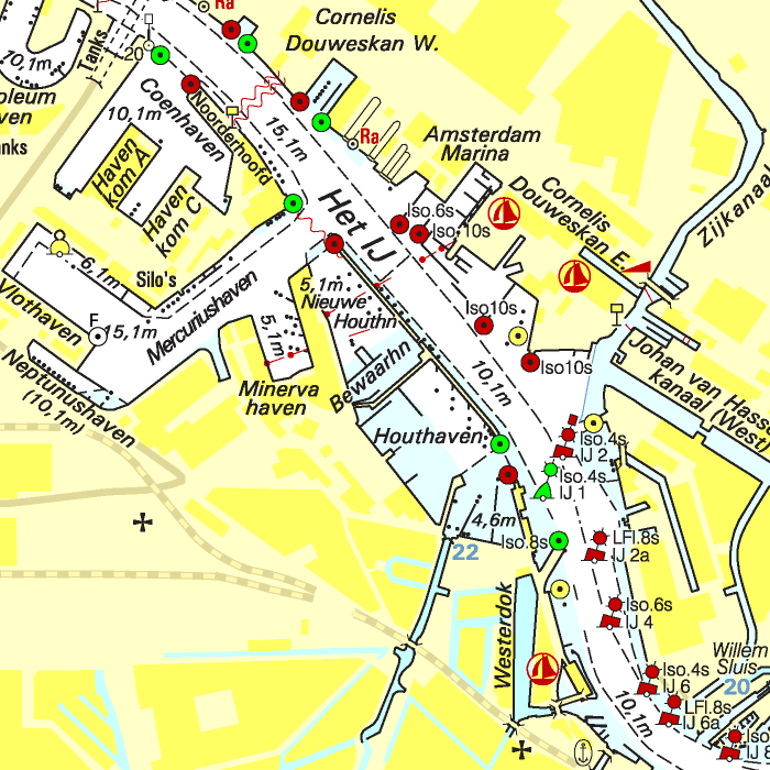
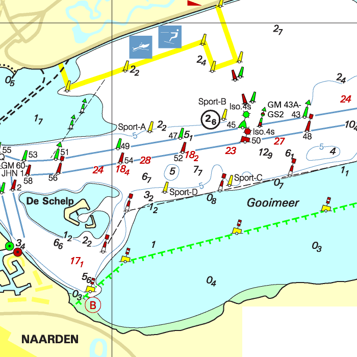
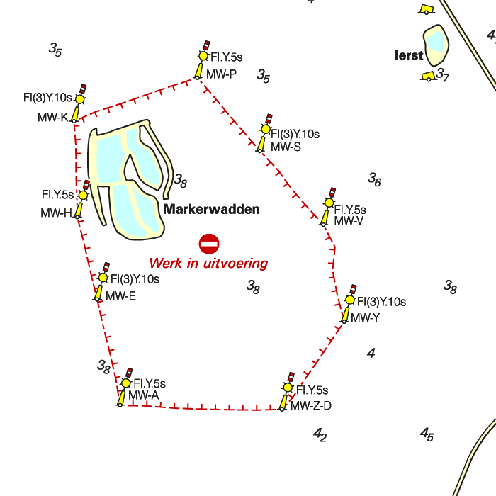
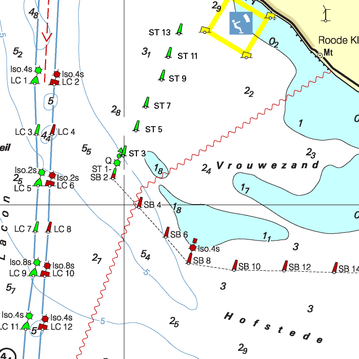
The DKW 1810 IJsselmeer covers the IJsselmeer, Markermeer, Randmeren and Noordzeekanaal, including the Markerwadden.
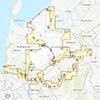

Depth image
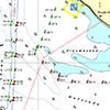
The DKW 1800 series contains a clear depth image and is the same as the well known paper version of the 1800 charts. Deep water is white and shallows are shown in different colors.
Stentec publishes the DKW 1800 series annually. The data is provided by the Dutch hydrographic service and the free weekly updates are based on the 'BaZ - Berichten aan Zeevarenden' (NtM - Notices to Mariners). User remarks are also screened and added to the charts which makes these chart sets the most up-to-date chart for the Dutch coastal waters.
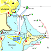
Chart image
The DKW 1800 series are comprised of raster charts. Because of this, the charts are an exact copy of the paper versions and you will see pixels when zoomed in to the maximum amount. The advantage of this is that all information, for example buoyage or shallows, are projected on the exact coordinates. When using vector charts a misleading image can show up when zooming in.
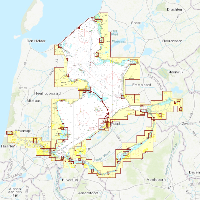
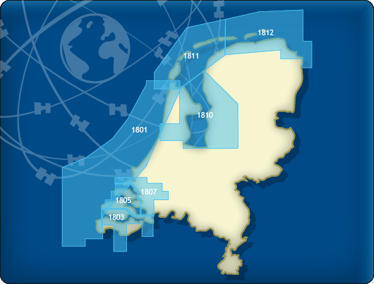
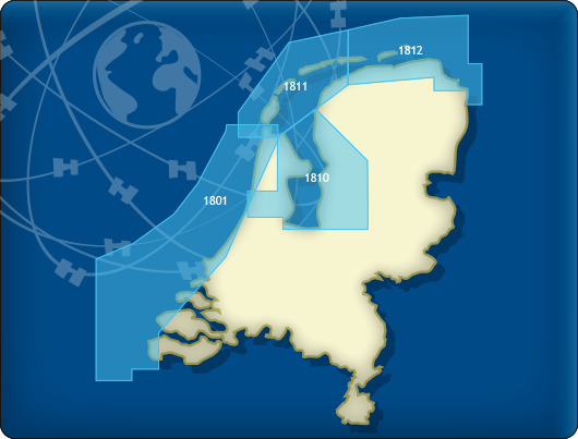
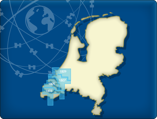
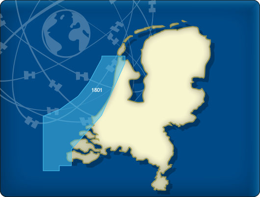
All products in the DKW 1800 series
Click on an image for more information.
|
DKW 1800 Complete |
DKW 1800 North |
DKW 1800 South |
|
DKW 1801: |
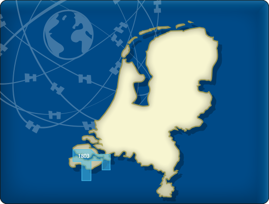
DKW 1803: |
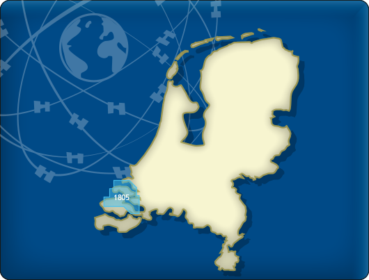
DKW 1805: |
|
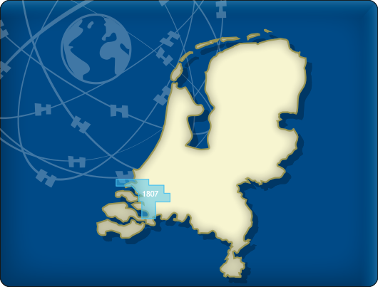
DKW 1807: |
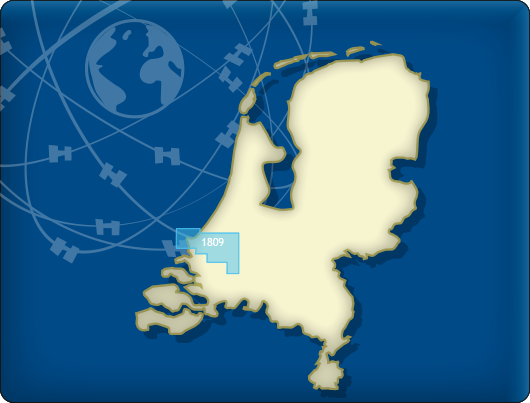
DKW 1809: |
DKW 1810: |

|
DKW 1811: |
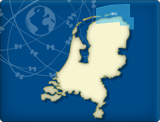
DKW 1812: |

|
|
|
System Requirements: This chart can be used in the free WinGPS Lite for Windows and can also be installed on the WinGPS Marine apps for Android and iOS. For accurate route planning with rotating chart and AIS you will need at least WinGPS Pro or the paid version of WinGPS Marine. Click here for more information about the WinGPS series. |
Connecting chart sets

Click on one of the above areas for a direct link to the chart set.
test


