WinGPS Marine PLUS

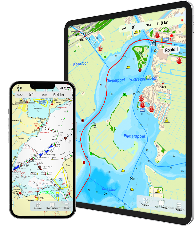
Navigate on your iPad and iPhone.


Ideal for navigation on your sloop, sailing yacht, motor ship or canoe using the premium features:

✔ Plotting routes

✔ Connect AIS

✔ Check your position

✔ Course-up mode

✔ Save sailed tracks

✔ Distance circles

New features:

✔ Download and plot GRIB-files

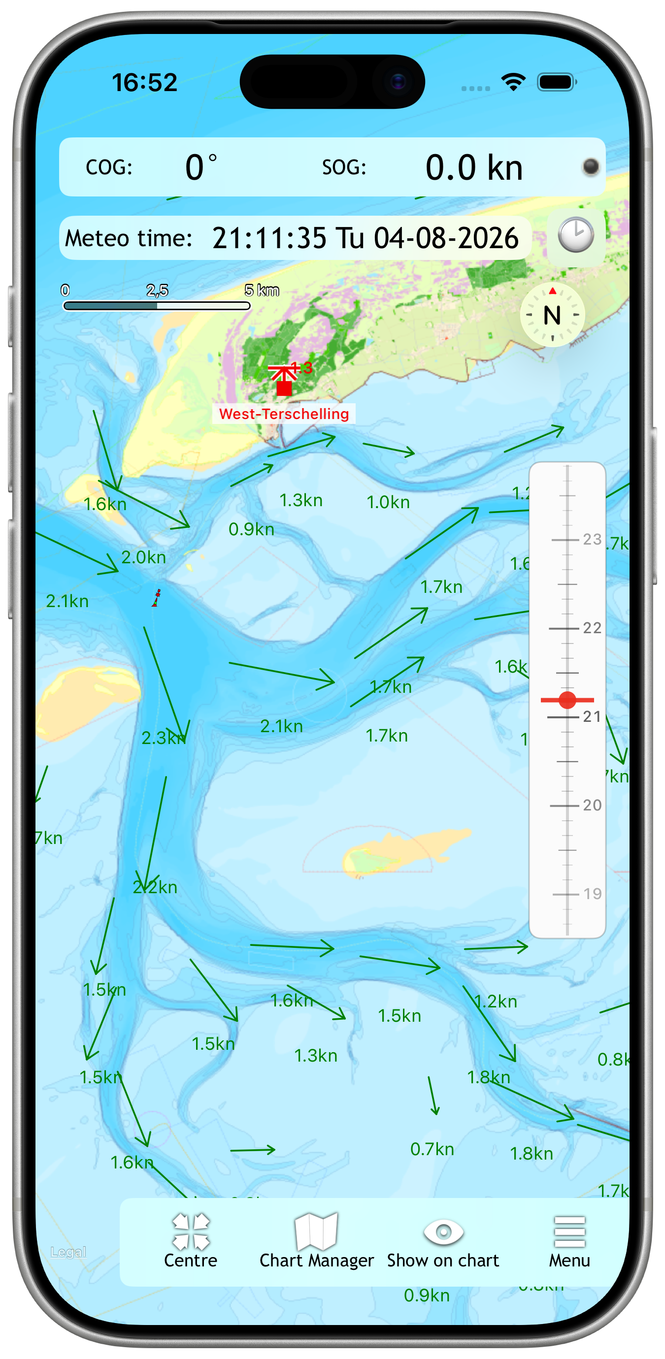
✔ NL tidal data, includes currents and tidal stations for the Dutch Coast

✔ Photo's of bridges & locks

✔ Import GPX files

Now available


WinGPS Marine Plus for iOS

After the free app WinGPS Marine for iOS, Stentec releases the extended version WinGPS Marine Plus. This app included premium features and is developed for the iPhone and iPad.

With WinGPS Marine plus for iOS it is possible to wirelessly connect your AIS device. This way you can see the AIS objects on your chart.

Plot a route with single points on open water, or plan the route over the waterway network taking into account the bridges, locks and restrictions of the waterways, and the dimensions of your ship.

Navigate the waypoints using the course line, Course to Steer and Distance to Go and view and save your route.

For inland waterways you can put the app in course-up mode.


New

View weather, tide, and wave forecasts by downloading GRIB files. Current and tide information from NL-tidal data has also been added, allowing you to plan ahead for the entire calendar year along the Dutch coast. Photos are now displayed for bridges and locks when you click on them, and you can now import GPX files as well!


previous arrowprevious arrow
next arrownext arrow
Slider

Charts

The charts that can be used in this app, are Stentec’s own DKW-charts. For example the free chart DKW Frisian Lakes or the well-known DKW 1800-series for the Dutch coastal waters, including weekly update services.

At the first start-up of the app, you will be asked to log in with your account. The free default online maps from Apple are available in the app for orientation. The DKW-charts, which are connected to your account, can be downloaded directly in this app and be used for navigation.

Note: only charts from 2018 and newer can be used in this app. Do you have older charts? Then you can renew them in our online shop. Click here to renew your cards >

System requirements:
Check whether your device is suitable for WinGPS via the link below.


Note: not every ipad has a built-in GPS receiver. If your device does not have an internal GPS receiver, you can use a Bluetooth GPS receiver

Do you have questions about WinGPS Marine for iOS? Click here to view the Frequently Asked Questions.