| Free update DKW the Netherlands 2018 |
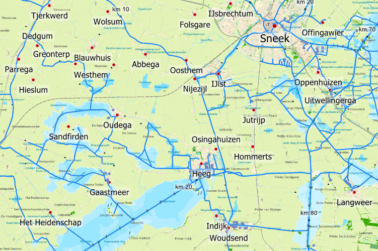
At the request of our users, the DKW the Netherlands 2018 received a large update last Monday. The city names are now all shown as waypoints, which makes for a much clearer chart view and gives you a faster way to orientate on a location. As all city names are shown as waypoints, you can now turn them on or off in the chart viewer. When you follow your GPS position in course up mode the city names will turn accordingly, making them readable in all chart angles. Free update
While it is a large update, the downloadable file is only 4,3 Mb and can be done via a mobile network without any problems. DKW the Netherlands
|