| DKW Northeast Germany 2018 |
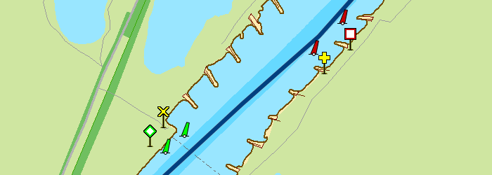
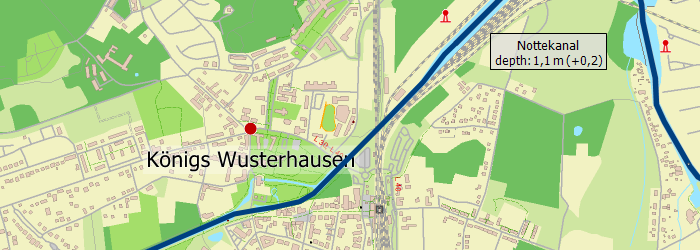
New in 2018
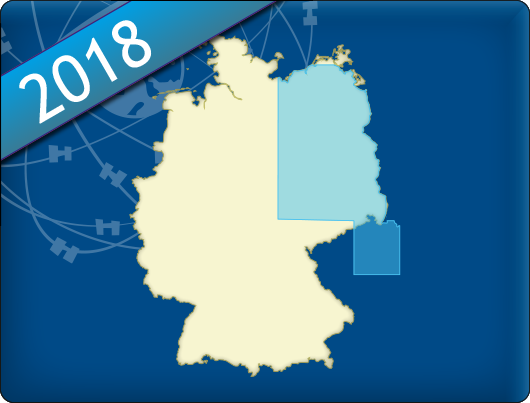
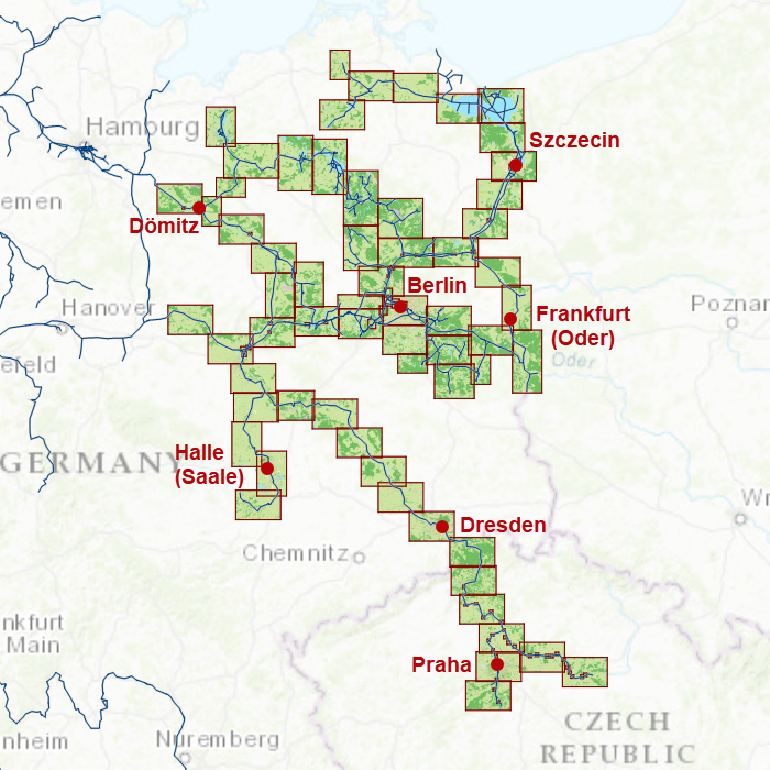
Covering area
Upgrade from 2017
|


| DKW Northeast Germany 2018 |
New in 2018
Covering area
Upgrade from 2017
|

Harinxmastrjitte 29
8621 BJ HEEG
The Netherlands
T +31 (0) 515 443515
Copyright © Stentec Software. All rights reserved.
By using this website you acknowledge that you agree with our user agreement.