


- News
- E-mail list
- Signup for our newsletter
- Stentec news
- News
- Developers Blog
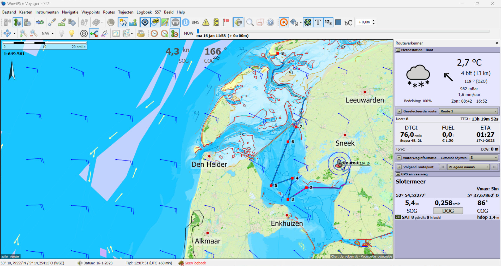
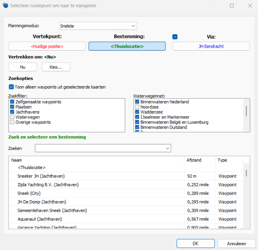
- WinGPS
- WinGPS series
- WinGPS versions
- WinGPS specifications
- For Windows
- WinGPS Lite
- WinGPS Navigator
- WinGPS Pro
- WinGPS Voyager
- For Android
- WinGPS Marine
- WinGPS Marine Plus
- WinGPS Smartwear
- For iOS
- Apps for iOS
- WinGPS Marine
- WinGPS Marine Plus
- DKW 1800 series
- Vaarkaart Friese Meren
- Service and upgrades
- Service Subscriptions
- WinGPS Yacht Navigator
- WinGPS trackpilot
- Charts
- Chart overview
- DKW Inland waters
- DKW The Netherlands
- DKW Friese meren
- DKW Amsterdam
- DKW Biesbosch
- DKW Belgium
- DKW Northern France
- DKW Southern France
- DKW Northeast Germany
- DKW Northwest Germany
- DKW Southwest Germany
- DKW Rhine and Moselle
- DKW Danube 1-West
- DKW Danube 2-Central
- DKW Danube 3-East
- DKW Coastal waters
- DKW 1800 series
- DKW 1600+
- DKW UK1 English & Scottish Eastcoast
- DKW German Bight
- DKW German Baltic coast
- DKW Imray series
- DKW Delius Klasing series
- NV-Verlag series
- Exclusive for Android
- Subscription - DKW the Netherlands
- Chart apps
- Other
- Hardware
- Simulators
- Shop
- Downloads
- Support
- Downloads
- Help pages
- Documentation
- System Requirements
- Availability GRIB files
- Frequently asked questions - FAQ
- WinGPS 5
- WinGPS Marine (Android)
- WinGPS Marine (iOS)
- Installation help
- WinGPS 5 (Windows)
- WinGPS Marine (Android)
- Tips
- Offline installation DKW charts (Windows)
- Installation ENC charts (Windows)
- Connecting SD card (Android)
- NV Verlag charts
- Offline NOAA Charts
- Download TeamViewer
- Contact
- Contactform - Helpdesk
- Callback Service
- Commercial Shipping
- Details

- Subscribe
- Past Issues
- RSS
- Translate
- English
- العربية
- Afrikaans
- беларуская мова
- български
- català
- 中文(简体)
- 中文(繁體)
- Hrvatski
- Česky
- Dansk
- eesti keel
- Nederlands
- Suomi
- Français
- Deutsch
- Ελληνική
- हिन्दी
- Magyar
- Gaeilge
- Indonesia
- íslenska
- Italiano
- 日本語
- ភាសាខ្មែរ
- 한국어
- македонски јазик
- بهاس ملايو
- Malti
- Norsk
- Polski
- Português
- Português - Portugal
- Română
- Русский
- Español
- Kiswahili
- Svenska
- עברית
- Lietuvių
- latviešu
- slovenčina
- slovenščina
- српски
- தமிழ்
- ภาษาไทย
- Türkçe
- Filipino
- украї́нська
- Tiếng Việt
|


- Details
|


- Details
|


- Details
|

News
- Updates: Wadden Sea, Oosterschelde and English East Coast.
- Do you already have WinGPS Marine Plus?
- From Paris to Budapest: always sail with up-to-date charts.
- Last Chance: Summer discount !
- Summer discount at Stentec = extra affordable holidays
- New: Navigate on your smartwatch with WinGPS!
- Start sailing well prepaired
- NEW: DKW 1600+ North Sea Coast Netherlands and Belgium
- New: alarm zones on the DKW 1600+ and VHF zones in WinGPS 6
- Stentec Safety check & Easter Discount & Installation Days

Harinxmastrjitte 29
8621 BJ HEEG
The Netherlands
T +31 (0) 515 443515


Copyright © Stentec Software. All rights reserved.
By using this website you acknowledge that you agree with our user agreement.