| WinGPS Marine update - Smart labeling |
|
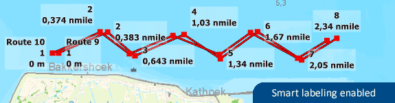
The inland water charts are so called 'hybrid charts'. This means the chart itself is a rasterized image, with several overlays for different waypoint sets. These waypoint sets consist of buoys, harbours, moorings, bridges, locks etc. Attached to a waypoint is a text label with information regarding this specific waypoint such as the name of the buoy or harbour. When a lot of waypoints are close together all text labels would overlap, which made them unreadable. To counteract this problem the ‘smart labeling’ option is introduced. Instead of overlapping text labels this option places all text labels at different locations around each waypoint while not overlapping one another (see image below). When too much labels are visible at one place, some labels will be disabled for that specific zoom scale. When zooming in further, more text labels will become visible. The 'smart labeling' options provides a much clearer chart view.
Tip: Via the 'show on chart' setting (eye button on the top left) the Smart labeling option can be enabled/disabled. If you want all text labels to be disabled this can be done at the same options by clearing the tick by 'Waypoint names'. Double clicking on a specific waypoint will show all informaton in a new screen. |