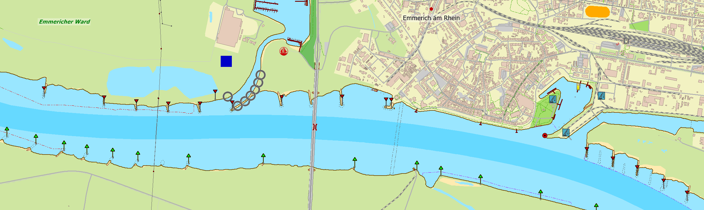
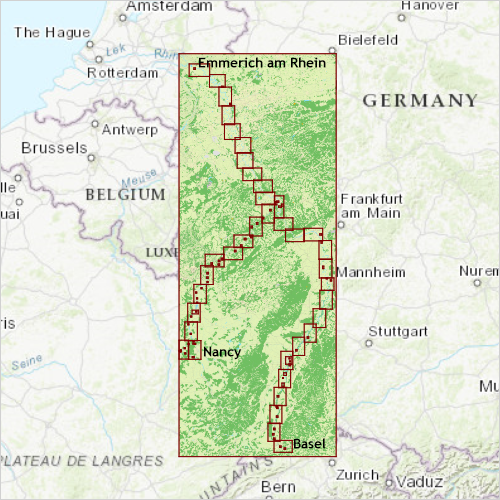
New DKW chart: Rhine and Moselle

The first DKW chart set for 2019 is available now: DKW Rhine and Moselle. This new chart set is based on the German, French and Swiss IENC water charts and will be updated when important changes are made to the IENC charts.

This chart set has been made especially for use with WinGPS 5 with rotating chart and AIS. It can also be used in combination with WinGPS Marine.

Covering area
The DKW Rhine and Moselle contains the Rhine from Lobith up until Basel and the Moselle from Koblenz up until Toul and Nancy in France.

Depth image
This chart set has a unique and clear depth image. The chart is published annualy by Stentec, based on OpenStreetMap, IENC charts and user remarks. The chart has a high level of detail with 2 meter per pixel, making it possible to zoom in up until the jetties at your home port.


This hybrid chartset consist of, a.o.

  • 1 Overview chart (scale 1:72.000, 20m/pixel).
  • 39 Detailed charts for orientation and route planning (scale 1:7.200, 2m/pixel).
  • 64 Highly detailed charts for a.o. lock passages and busy water ways (scale 1:1.800, 0,5 m/pixel).

WinGPS 5 and WinGPS Marine
The DKW charts are compatible with both WinGPS 5 (for Windows) and WinGPS Marine (for Android). If you have both software packages it is possible to load these charts in both programs without having to buy extra licenses.