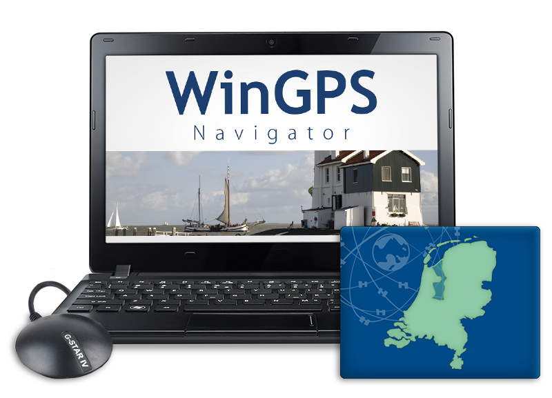
| Laptop navigation with WinGPS 5 Navigator |
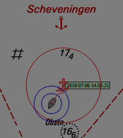
When a GPS is connected to your laptop you will get a clear view of your location, speed and course and which course you need to steer for your planned route.
A familiar base for onboard navigation
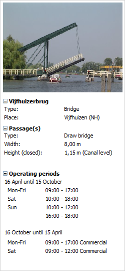
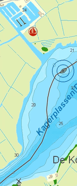
Plotting, measuring and logging
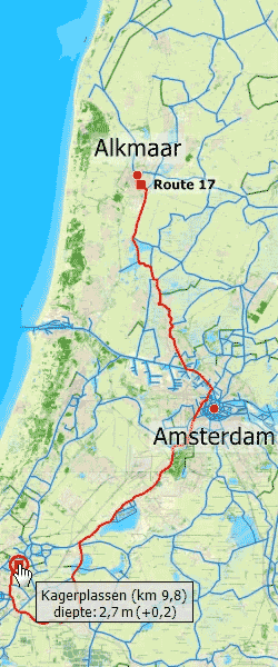
Well begun is half done
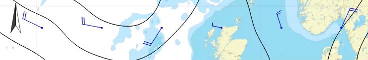
When the forecasts are good you can do a last check for chart updates, making sure you are going to sail on the most up-to-date charts. You can also print crowded or difficult waterways for backup. This way you can start your trip with a clear conscience and enjoy your day on the water.
| |||||||||||||||||||||