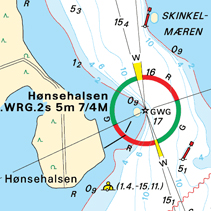
| DKW Delius Klasing 2019 Edition |
Click on the image for more information. WinGPS 5 or WinGPS Marine
| |||||||||||||||


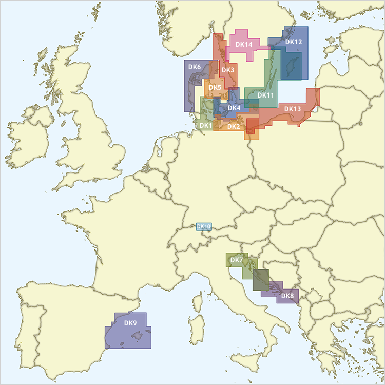
| DKW Delius Klasing 2019 Edition |
Click on the image for more information. WinGPS 5 or WinGPS Marine
| |||||||||||||||

Harinxmastrjitte 29
8621 BJ HEEG
The Netherlands
T +31 (0) 515 443515
Copyright © Stentec Software. All rights reserved.
By using this website you acknowledge that you agree with our user agreement.