Navigate safely with the new WinGPS 5 2016!

We are proud to announce that the 2016 editions of WinGPS 5 are available. With this versions we are able to make your vacation or journey even more safe and easy!

We present the latest features of WinGPS 5 2016 at Boot Holland 2016 starting friday at the WTC Expo in Leeuwarden (in the Friezenhal, stand 5001, 12 to 17 february).

New in WinGPS 5 Navigator 2016

  • Renewed and extended route network based on the latest data and remarks received from WinGPS 5 users.
  • Easy installation. By disconnecting the route network and help file from WinGPS, the installation files dramatically decrease in size. In doing so you you don't have to download every file with a new update. File size has been decreased by 90%.
  • Destination button . Start your route navigation with the click of a button! Click on the 'destination button', type your destination and WinGPS will instantly plot your route, starting at your current position. (Illustration to the right)
  • NOAA-tiles. This feature makes it possible to use the free NOAA charts for the United States in WinGPS 5. As with the OSM charts, the NOAA charts are only available when connected to the internet.

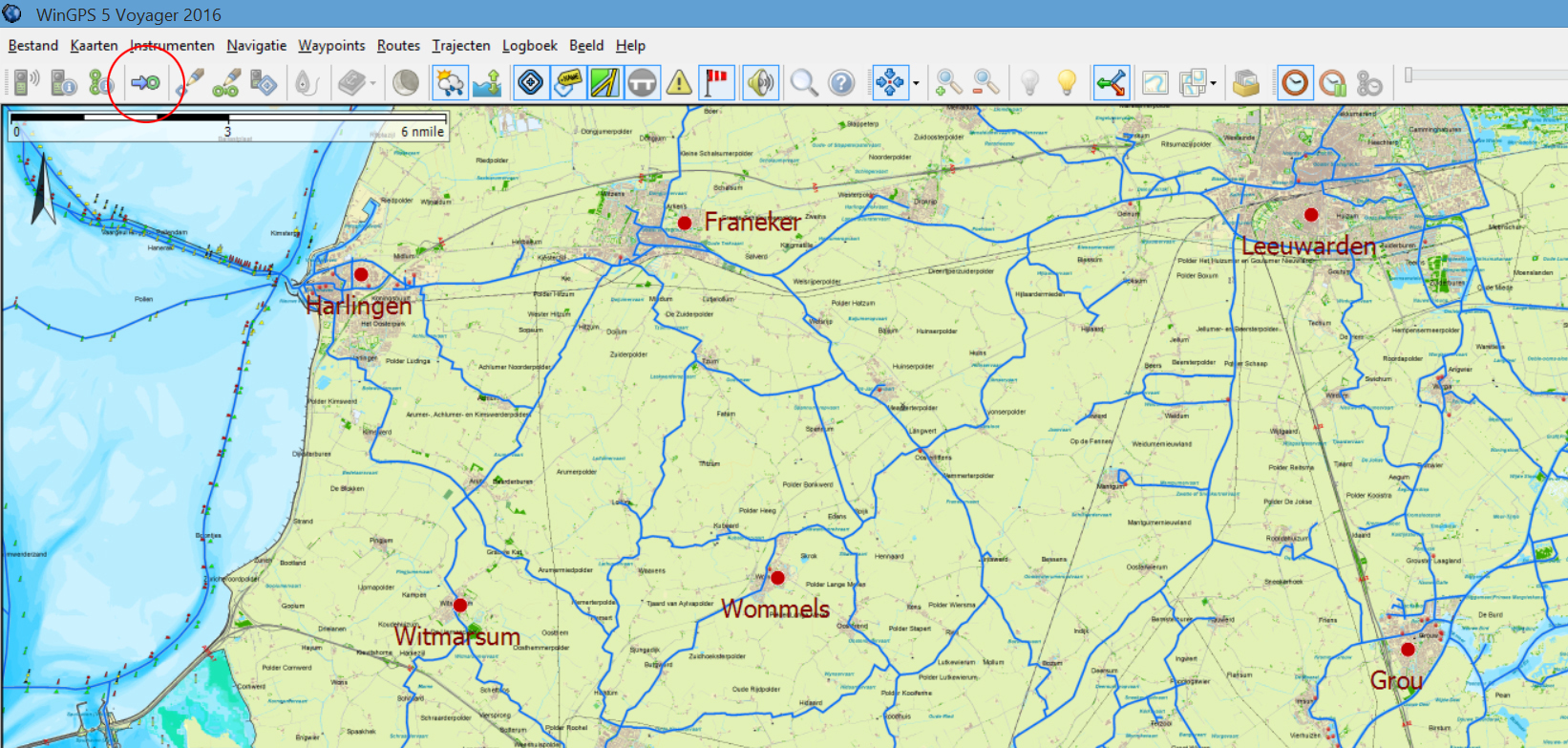
New in WinGPS 5 Navigator 2016 (Additional to Navigator)

  • NL Tides 2016 data for currents and tides.
  • Expansion of the Kustfijn model. You are now able to download data for the IJsselmeer.
  • Current water levels for Dutch inland waters, courtesy of Rijkswaterstaat. These will automatically be downloaded when updating the shipping notifications. You can recognize the waterlevels by the new icon: . (Illustration to the right)
  • KNMI weatherstations. With the press of a button you will receive data from 50 Dutch KNMI weatherstations. Wind, temperature, Flurries and humidity are shown. The data is refreshed every 10 minutes for the most actual view of the situation. You can recognize the waterlevels by the new icon: . (Illustration to the right)

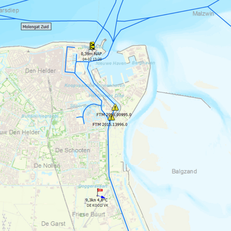
New in WinGPS 5 Voyager 2016 (Additional to Pro)

  • Depth dependent polars. Let Voyager make use of depth dependent polars by turning this feature on in the settings. If the Kustfijnmodel is downloaded WinGPS 5 Voyager will plot to deeper waters for higher speed when choosing route optimalization.
  • Harmonic model. This new and accurate weather model can be downloaded at the Grib management and will show the most precise weather forecasts available.