


The digital water chart DKW Vaarkaart Nederland 2015 is available. This chartset is released yearly with the Top10NL data of the land register (formerly Ordnance Survey), Inland ENC charts, RWS (Department of Public Works) and community modifications.
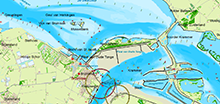
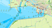
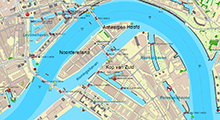
This edition we separated the chartset in North and South. This makes a lighter install and an easier choice for you.
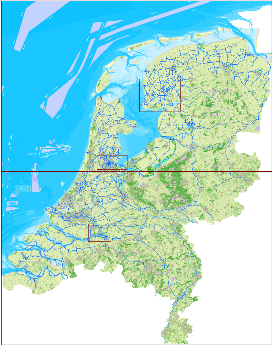
In this image you clearly see the dividing line.
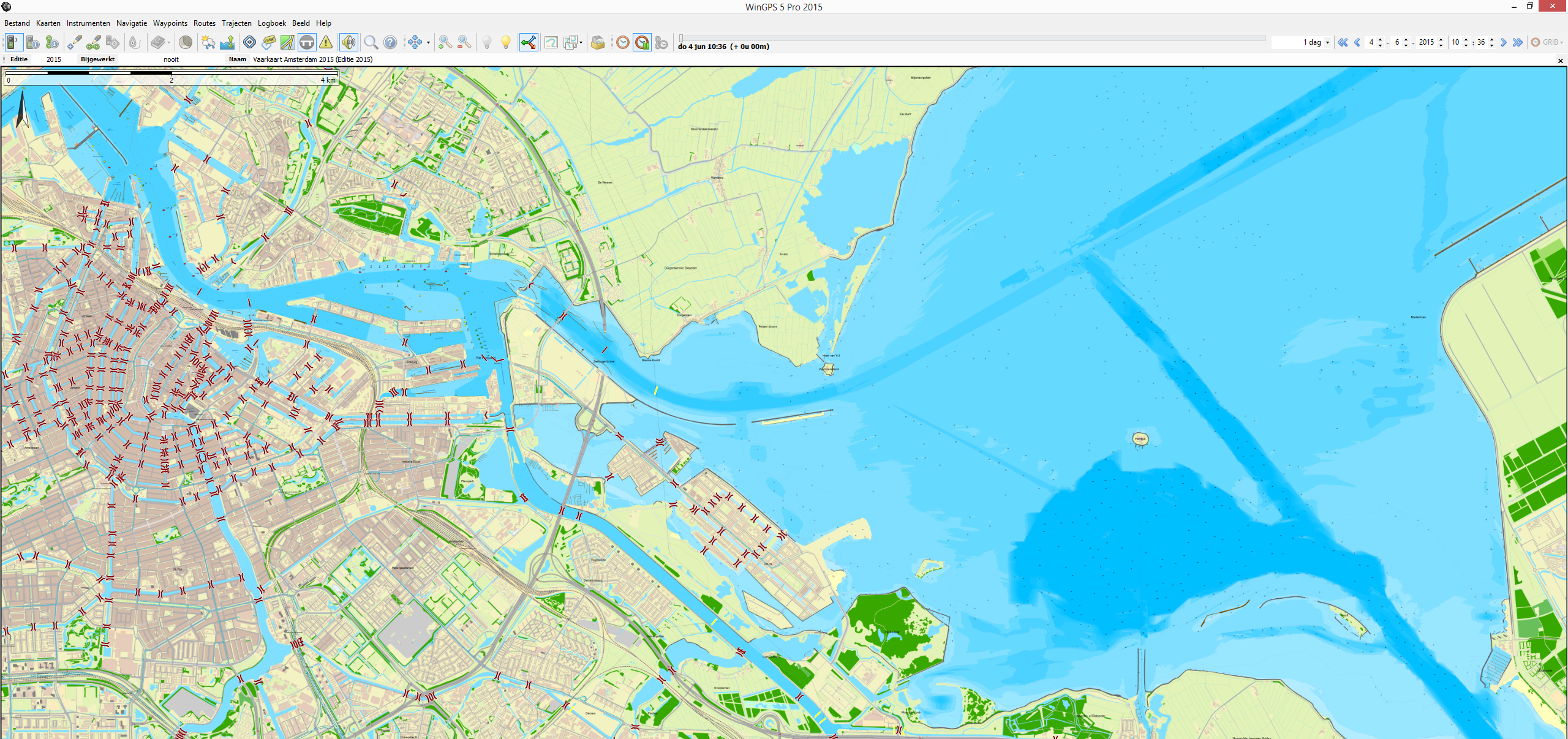
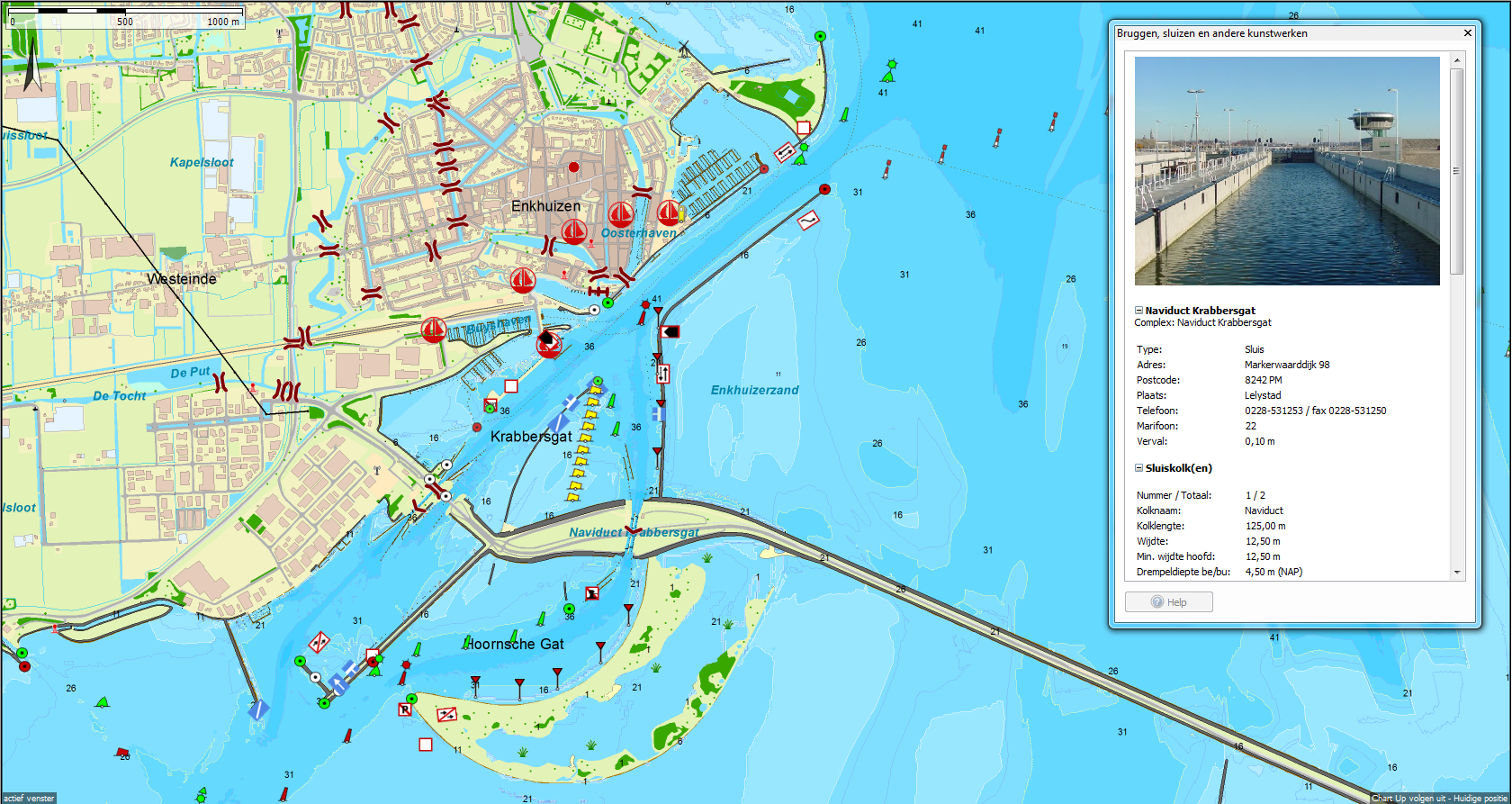
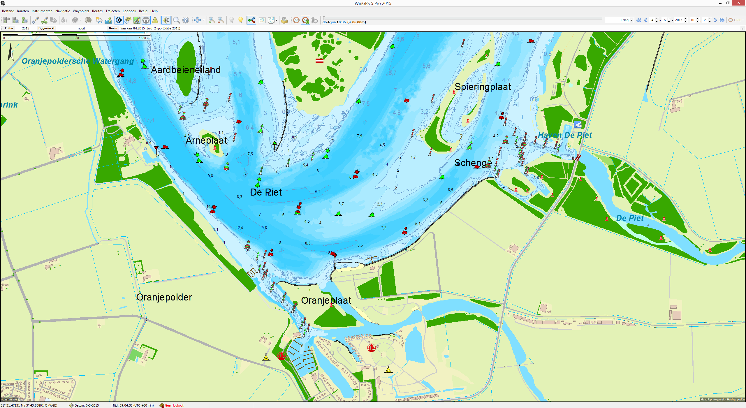
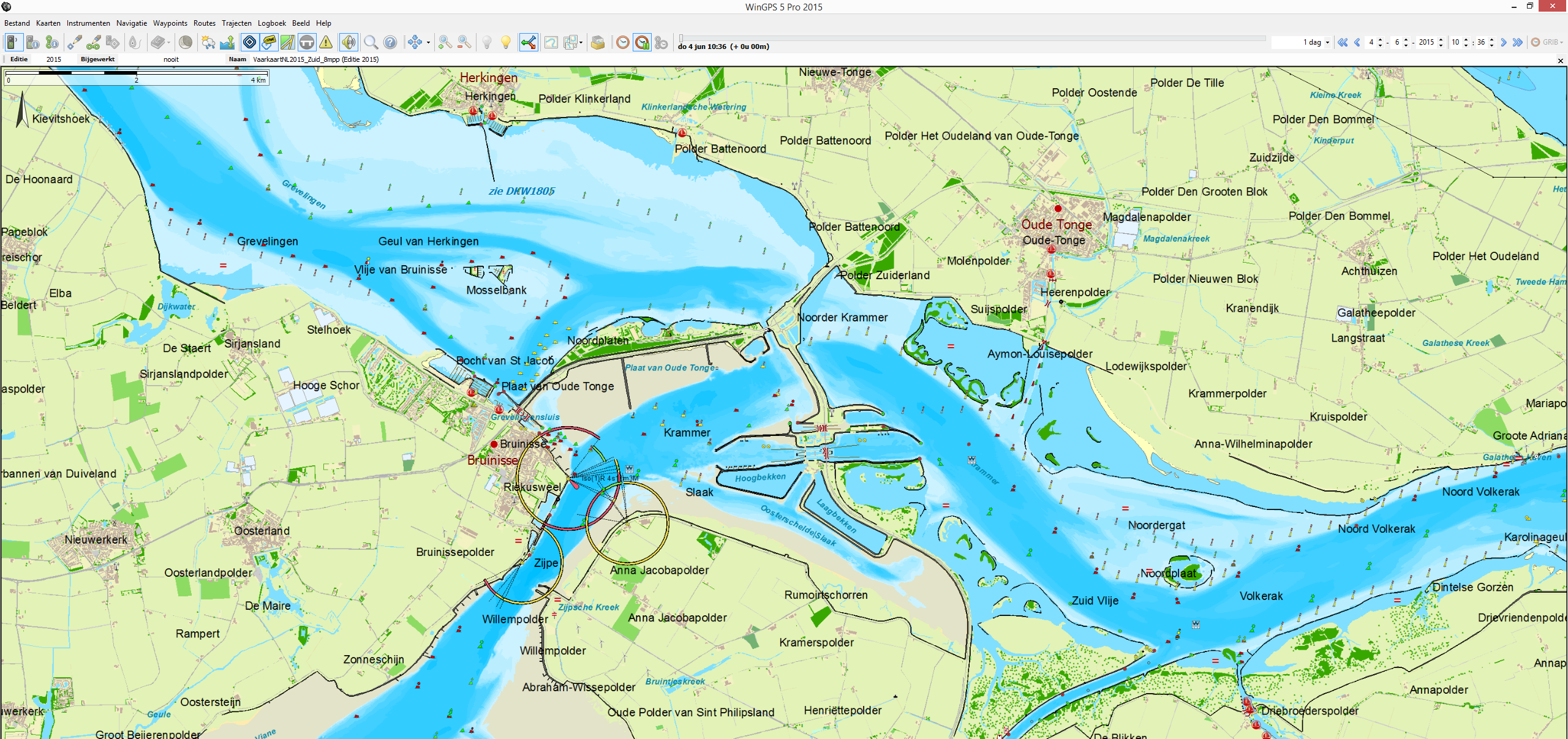
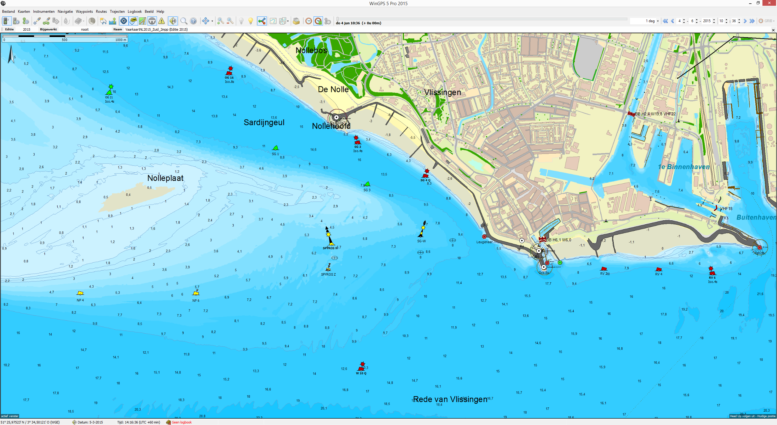
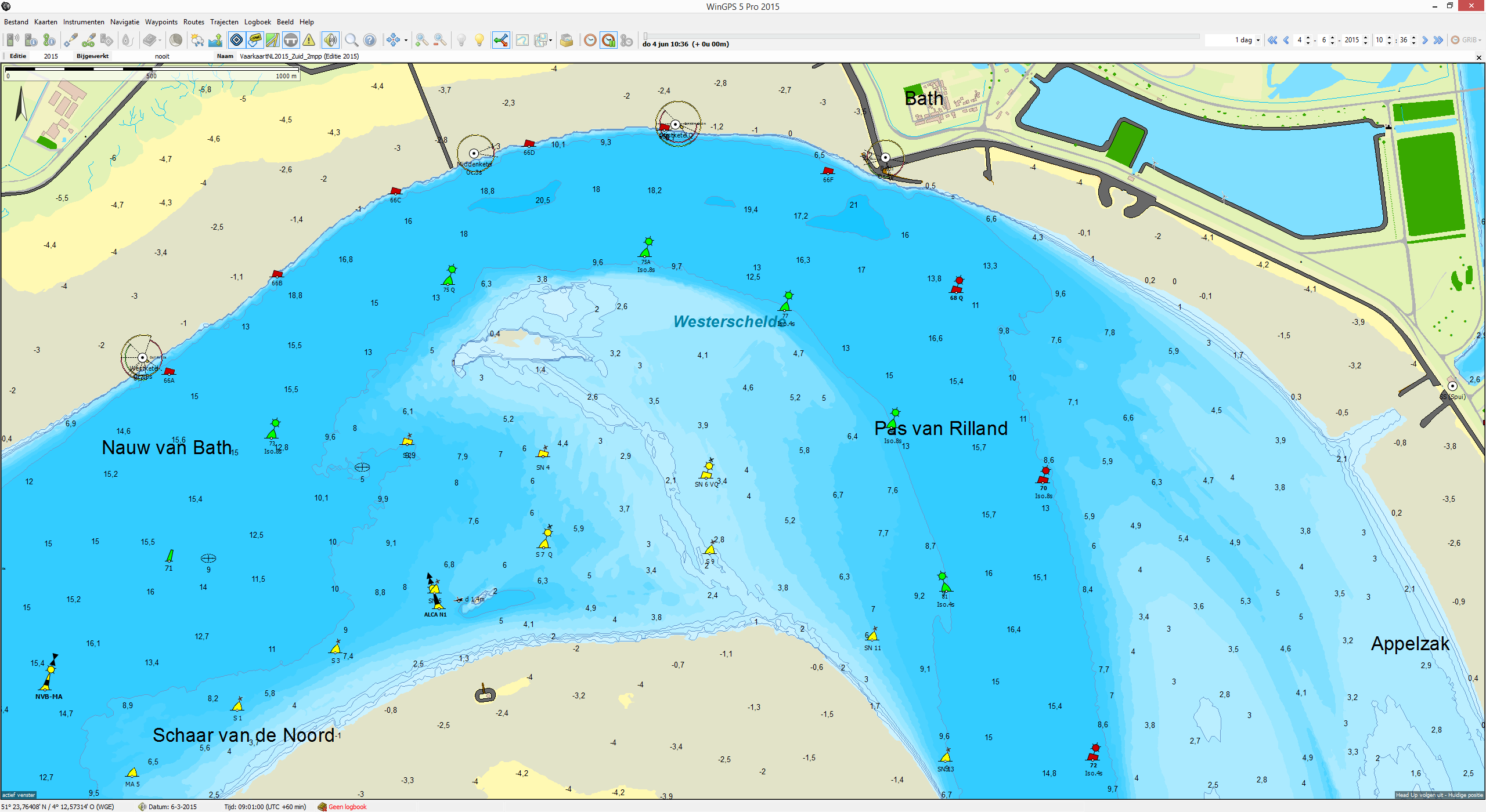
The 2015 edition of Vaarkaart Nederland received a lot of attention from our developers. Especially the clear and organized chartview which makes your navigation better. The recreational boater can get additional information like buoys, marinas, gas stations and camp sites for water sports. Charging stations for electric boats are new in this edition.
Vaarkaart Nederland is specially suited for sailing on the inland waterways with WinGPS 5. This navigation software has the most detailed waterway network build in, with almost all waterways deeper than 1 meter and all bridges & locks with operating hours. This combination is ideal for route planning and navigation on board of small and bigger ships. Creating a route is very simple and while sailing the charts of Vaarkaart Nederland are showing your location.
Although this chartset is designed for inland waterway navigation, you can also use it for orientation on the new Traffic Separation Scheme in the North Sea.
 Highlights compared with the 2014 edition:
- 25% more zoom up to 2 m / pixel
- Scale ~ 1: 7,200 on screen, overview 8 m / pixel
- Better map image by using less green
- Names of all villages and waters in the Netherlands
- Split into North and South with separation at Schiphol.
 Features of the Vaarkaart Nederland North
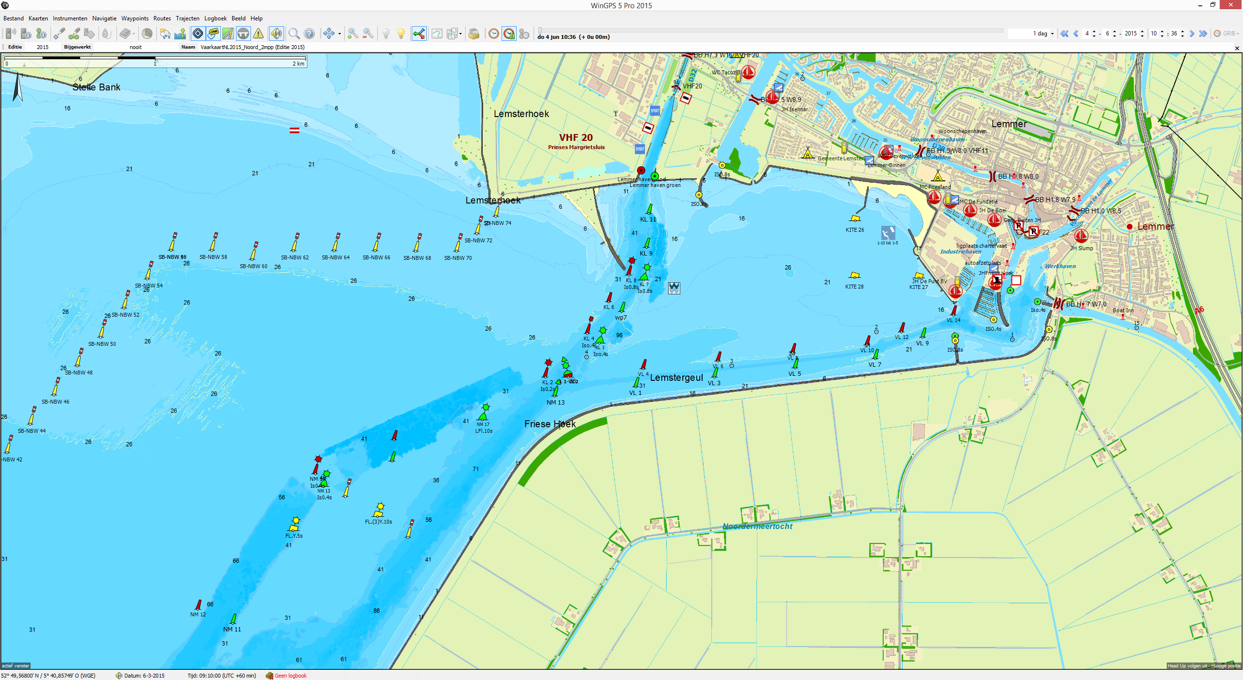
- New waterways in Friesland, including Polderhoofdkanaal, Vaarweg waterstad A7 Sneek, vaarweg Ritsumasyl and akwadukt bij Leeuwarden.
- Now with detail charts of the Frisian Lakes and Amsterdam of 1 or 0.8 m / pixel
- Download 1.1 GB (PC) and 1,7GB (app)
 Features of the Vaarkaart Nederland South
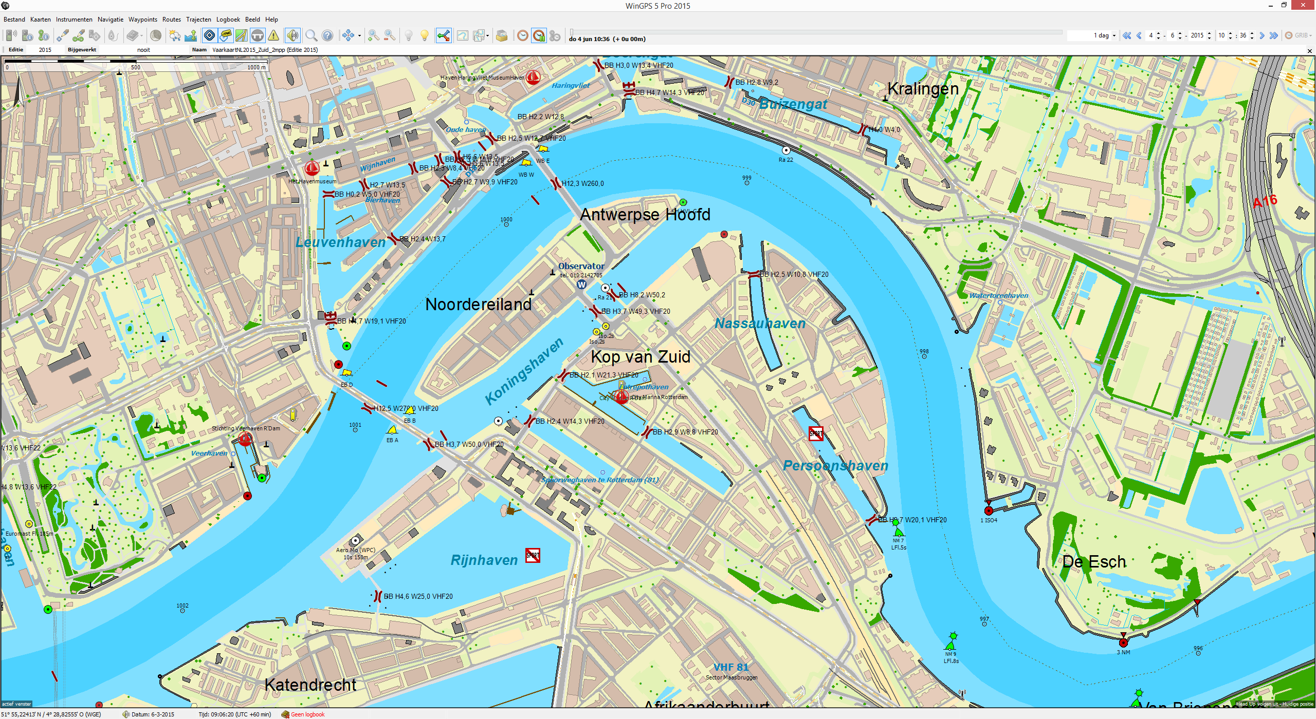
- Now with Detail chart of the Biesbosch of 0.7 m / pixel
- New bathymetry of Zeeland inc. Veersemeer, Kaag and Westeinde
- Download 1.4 GB (PC) and 2.0GB (app)
Now available
The DKW Vaarkaart Nederland Compleet is available from € 119,90, north and south are per set only € 79,90 and are on sale in our online shop, shop in Heeg and at our dealers. The download version is 2.5 GB (PC) and 3.7 GB (app).
Naturally, we demonstrate this chart at the Hiswa Boat Show. If you have the Vaarkaart Nederland in 2014 edition, you can upgrade it advantageous to the 2015 edition.


