


- News
- E-mail list
- Signup for our newsletter
- Stentec news
- News
- Developers Blog
- WinGPS
- WinGPS series
- WinGPS versions
- WinGPS specifications
- For Windows
- WinGPS Lite
- WinGPS Navigator
- WinGPS Pro
- WinGPS Voyager
- For Android
- WinGPS Marine
- WinGPS Marine Plus
- WinGPS Smartwear
- For iOS
- Apps for iOS
- WinGPS Marine
- WinGPS Marine Plus
- DKW 1800 series
- Vaarkaart Friese Meren
- Service and upgrades
- Service Subscriptions
- WinGPS Yacht Navigator
- WinGPS trackpilot
- Charts
- Chart overview
- DKW Inland waters
- DKW The Netherlands
- DKW Friese meren
- DKW Amsterdam
- DKW Biesbosch
- DKW Belgium
- DKW Northern France
- DKW Southern France
- DKW Northeast Germany
- DKW Northwest Germany
- DKW Southwest Germany
- DKW Rhine and Moselle
- DKW Danube 1-West
- DKW Danube 2-Central
- DKW Danube 3-East
- DKW Coastal waters
- DKW 1800 series
- DKW 1600+
- DKW UK1 English & Scottish Eastcoast
- DKW German Bight
- DKW German Baltic coast
- DKW Imray series
- DKW Delius Klasing series
- NV-Verlag series
- Exclusive for Android
- Subscription - DKW the Netherlands
- Chart apps
- Other
- Hardware
- Simulators
- Shop
- Downloads
- Support
- Downloads
- Help pages
- Documentation
- System Requirements
- Availability GRIB files
- Frequently asked questions - FAQ
- WinGPS 5
- WinGPS Marine (Android)
- WinGPS Marine (iOS)
- Installation help
- WinGPS 5 (Windows)
- WinGPS Marine (Android)
- Tips
- Offline installation DKW charts (Windows)
- Installation ENC charts (Windows)
- Connecting SD card (Android)
- NV Verlag charts
- Offline NOAA Charts
- Download TeamViewer
- Contact
- Contactform - Helpdesk
- Callback Service
- Commercial Shipping
- Details

It’s that time of year again: Sneekweek is just around the corner! The sailing spectacle of the year not only offers plenty of fun and sportsmanship, but for us, as a proud Frisian company, it’s also the perfect opportunity to treat you to limited-time discounts of up to €40.
Are you planning to get out on the water this season, and could your navigation system use an upgrade? Then now is the time: take advantage of the Sneekweek discounts today.
Your favorite charts now with a €20 discount
Make sure you’re always sailing with the most up-to-date charts. Our popular DKW charts are now available at a special discount during Sneekweek (through August 6).
You’ll receive a €20 discount per chart on:



This discount applies only to new editions, but not to chart upgrades.
Do you have a Premium Subscription? If so, you'll receive this €20 discount in addition to the €20 discount from your Premium Subscription!

WinGPS navigation software with a €40 discount!
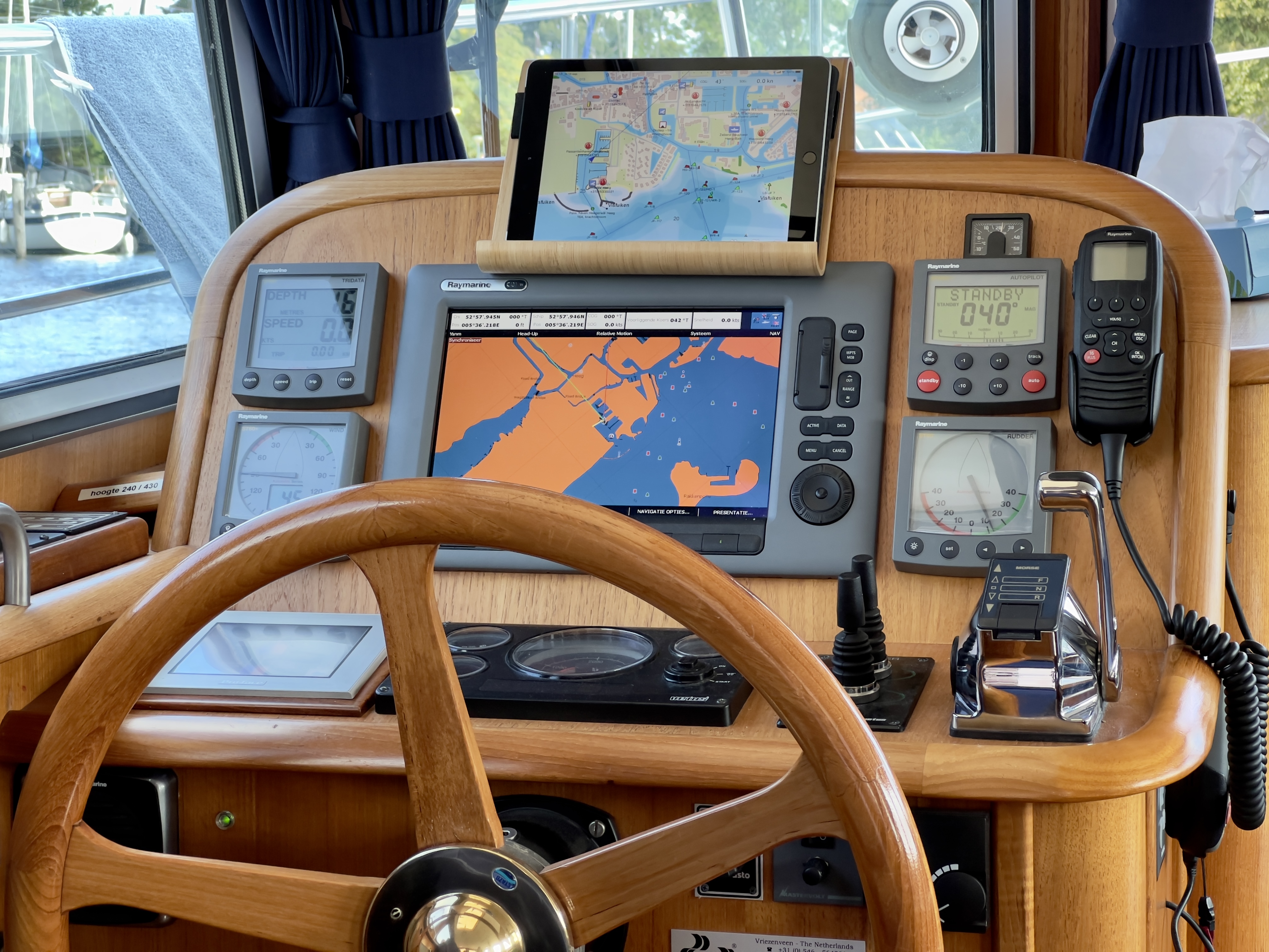
Want to get the most out of your navigation system? Whether you’re a recreational boater or an avid offshore sailor, WinGPS helps you sail more safely and comfortably.
Only during Sneekweek (through August 6), you can take advantage of a €40 discount on:


- Details
|


- Details
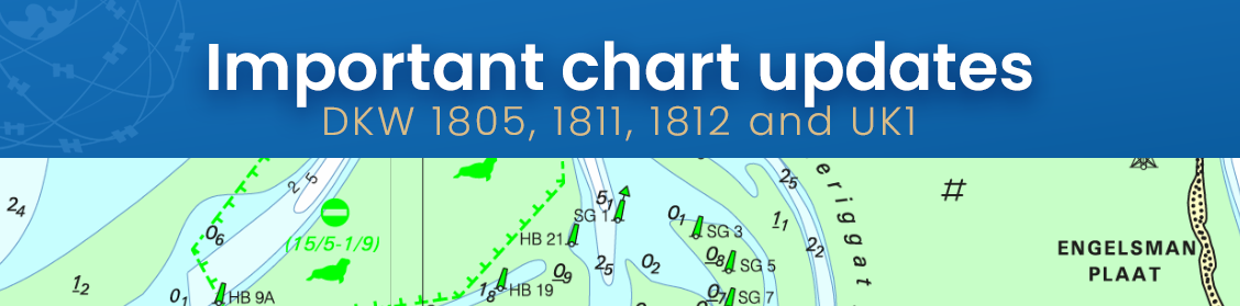
The new charts for the Wadden Sea, DKW 1811 and DKW 1812, and DKW 1805 (Oosterschelde, Veerse Meer, and Grevelingenmeer) are now available! The quarterly update for DKW UK1, covering the English and Scottish east coasts, is now online as well.
It is especially important to have up-to-date charts on board in these ever-changing and busy areas.
Do you have the 2026 edition? If so, the updates are now available for download in WinGPS.
Don’t have the 2026 edition yet? Order it here now:
What's new?
The new charts from the 1805, 1811, and 1812 series are now available, and we've prepared them for you so you can download these updates in WinGPS.
Important changes include, for example, an updated depth profile of Lake Grevelingen: almost all values have been adjusted compared to the previous version.
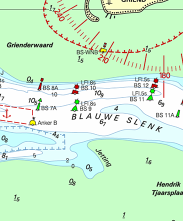
In the Wadden Sea, a number of sandbars have shifted or changed shape, such as the Richel between Vlieland and Terschelling, and the Rif between Ameland and Schiermonnikoog.
The Simonszand has even moved a few hundred meters further out. The “Eilanderbalg” channel has eroded a larger section of Schiermonnikoog. The Kamperzand is now also shown on the chart, a sandbar between Ameland and Terschelling. West of Terschelling lies the Boomkensdiep; it has now been mapped in greater detail, but the channel still has no buoyage.
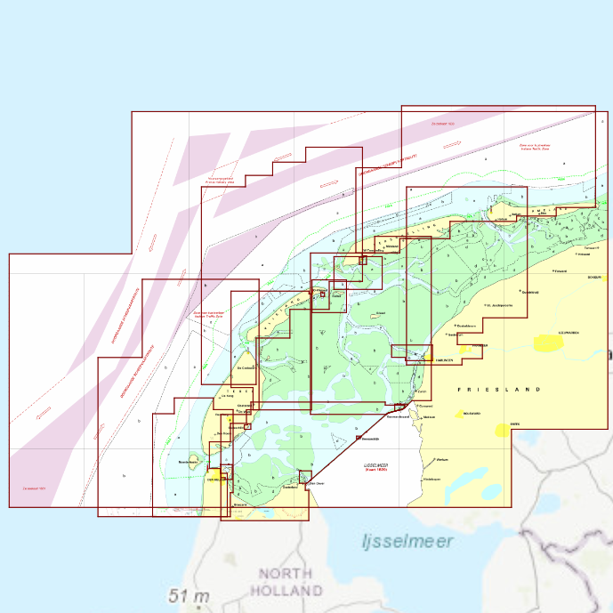
DKW 1811 Wadden Sea West
For your trips from the Afsluitdijk, Den Helder, and Harlingen to Texel, Vlieland, and Terschelling
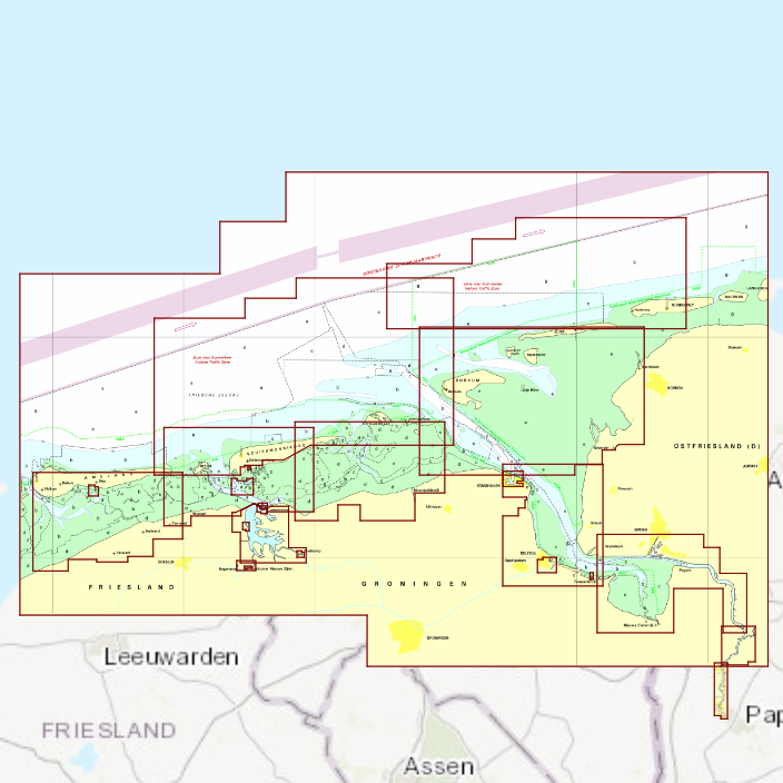
DKW 1812 Wadden Sea East
For your trips to Ameland, Schiermonnikoog, Borkum, Delfzijl, and across the Lauwersmeer.
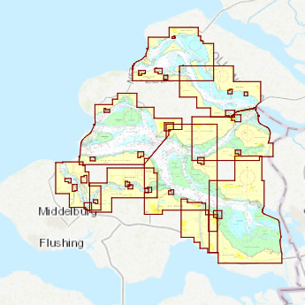
DKW 1805
The trusted chart for the Oosterschelde, Lake Veere, and/or Lake Grevelingen.
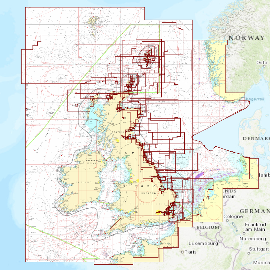
DKW UK1
Ideal for your trips along the east coast of England and Scotland.
Includes a handy overview chart for the North Sea.
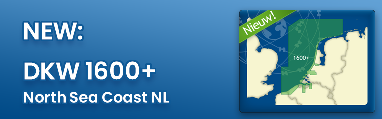
Have you seen the new DKW 1600+ yet? This digital nautical chart pairs perfectly with the DKW UK1 and the 1800 series, and thanks to the same chart display, it integrates seamlessly with them, making it feel like a single, continuous chart.
This chart also features new alarm zones, allowing you to navigate these busy waters even more safely.

- Details
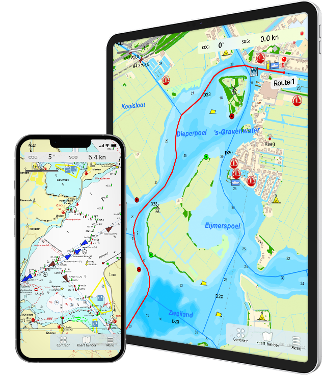
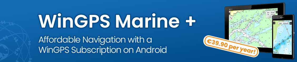
Are you familiar with our WinGPS Marine Plus for Android? This popular navigation app is now available as an affordable subscription and can be paired with an Android smartwatch.
- Ideal as a backup alongside WinGPS on your laptop
- Useful for crew members who have their own tablet or phone
- It's also perfect for anyone who wants an easy way to get started with digital navigation
- Can be used on 3 devices at the same time
Choose WinGPS Marine Plus now for just €39.90 per year!
What does Marine Plus offer?
With WinGPS Marine Plus, the navigation app for Android, you can:
- Plan routes
- Download GRIB files
- Access tide data for the Dutch coast (worth €19.90 per year)
- Connect onboard instruments, such as AIS
- Use your own DKW charts
Included: access to the Stentec Tidal Service (previously €25). This allows you to download current water levels and current data for the Dutch coast and the IJsselmeer, including wind-driven surges. WinGPS then calculates exactly where and when you can navigate (or beach) based on your draft, and marks these locations with red lines on the chart. The timeline lets you see immediately how the navigable area changes over time.
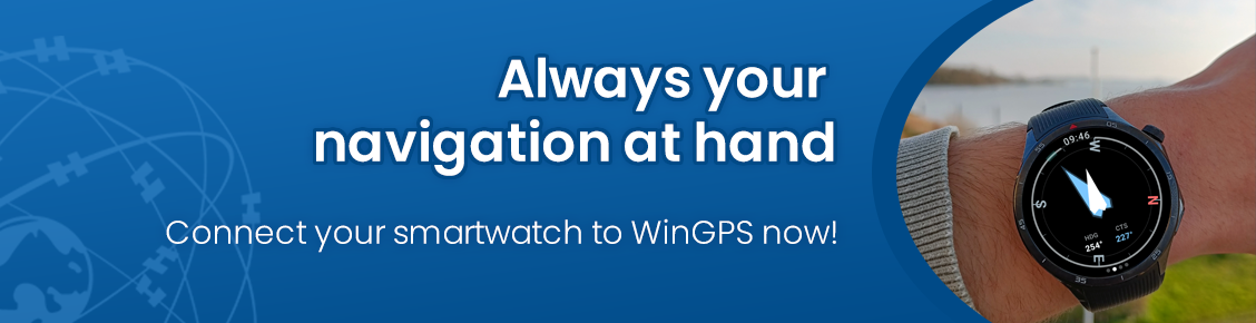
Navigating on Your Wear OS Smartwatch with WinGPS Marine Plus for Android
Navigation data is always at your fingertips, without having to pick up your phone. The new WinGPS Marine app for Wear OS displays live data from your navigation system right on your wrist: course, speed, depth, wind data, route information, and more.
Have you been using WinGPS Marine (Plus) without a subscription so far? If so, you can, of course, continue to use it as usual. However, the app will no longer be updated or enhanced with new features or improvements for you. For example, the Dutch tide tables will no longer be updated.
Would you like to switch to a subscription? You can easily order one through our online store. As soon as you restart your WinGPS Marine (Plus), you’ll see “WinGPS Marine Plus (subscription)” displayed on both the startup screen and under “About/Help.”
Why is WinGPS Marine Plus now available as a subscription?
Since 2014, the Android apps WinGPS Marine and Marine Plus have been available as one-time purchases. Updates with new features and improvements have always been provided free of charge. In recent years, however, we have invested a great deal of time and expertise to keep the app continuously up-to-date and reliable.
Our developers have continuously ensured:
-
Compatibility with new Android versions
-
Security updates in response to changes in data sources and GRIB servers
-
Route network updates for current waterways, bridges, and locks
-
Annual addition of tide data (Plus version)
-
New features for greater ease of use
With an annual subscription of €39.90, we can continue to guarantee this quality and security. You’ll benefit from all the features of Marine Plus, quick updates, and up-to-date data.
The subscription renews automatically, so you don’t have to worry about it. If you don’t plan to sail for a year, you can easily cancel up to 1 month before the renewal date.
- Details
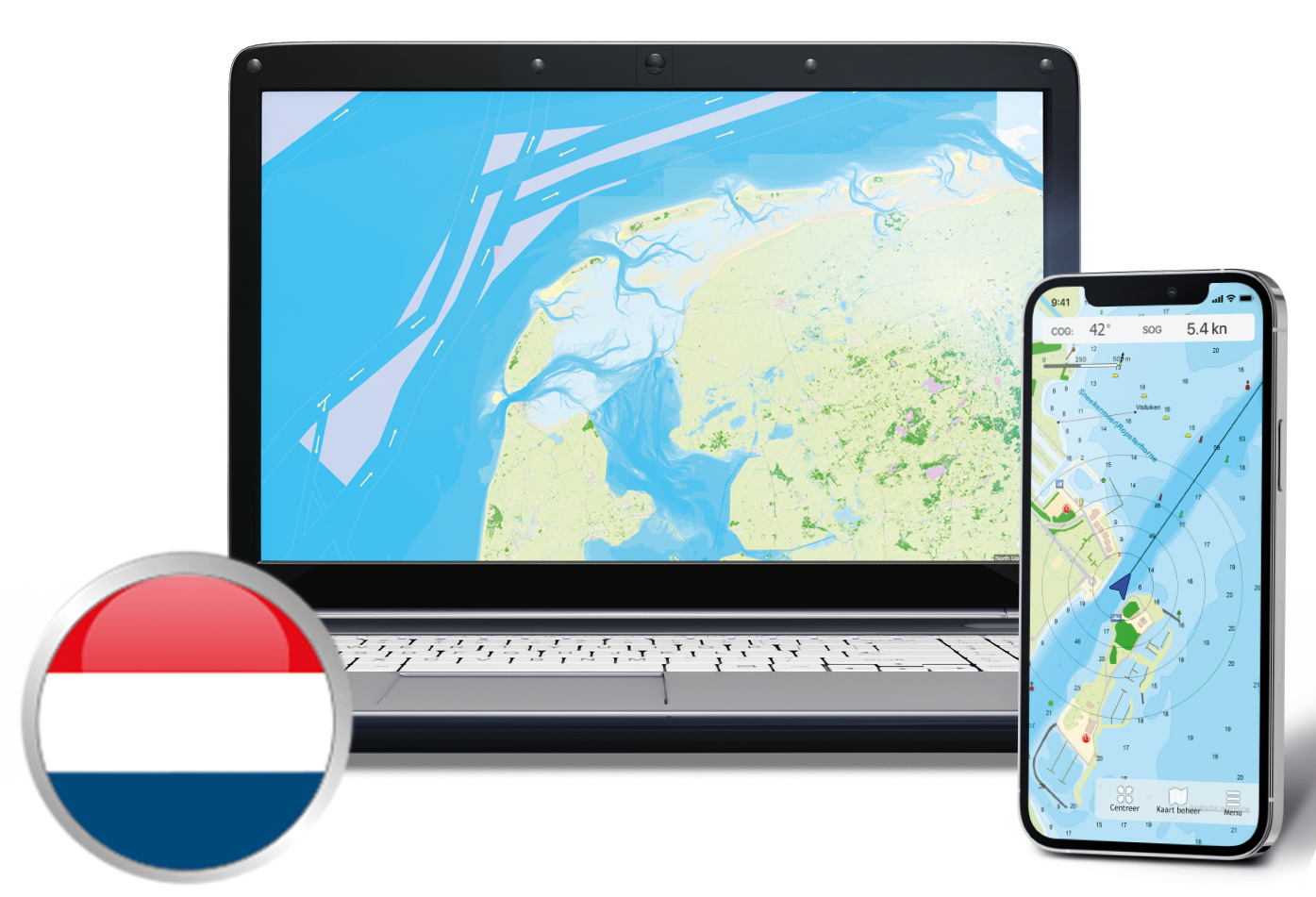
Whether you sail for a living or enjoy your free time as a water sports enthusiast, as a skipper you know that a safe and efficient voyage depends entirely on having the right information.
After all, the waterways are constantly changing, and conditions are always shifting. An outdated chart can quickly lead to risky situations, unnecessary delays, or costly detours.
Are you still navigating with charts from last season? Check now to see if your WinGPS navigation system is fully up to date.
Update your digital charts today
Avoid surprises on the water and always set out on your journey well-prepared. Updating your navigation software and digital charts takes just a few clicks.
- Do you have the 2025 edition? If so, you’ll automatically receive a significant upgrade discount on the new 2026 edition.
- Do you have a Premium Subscription? Then you’ll enjoy an extra benefit: you’ll get a €20 discount on new versions or a €10 discount on upgrades.

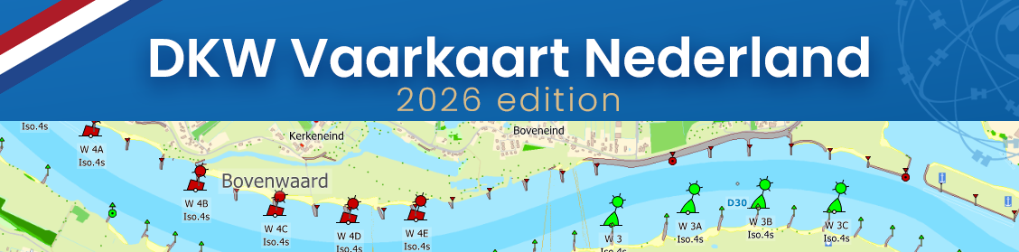
With the latest edition of the DKW Netherlands inland chart, you’ll have the most up-to-date and clear depth chart right on your screen.
The chart includes all the essential waypoints for a worry-free voyage, whether you’re sailing for business or pleasure. You’ll have immediate access to up-to-date information on:
Whether you’re navigating busy junctions like the one near Willemstad or looking for a place to spend the night, avoid surprises and get the latest details on board today.
Tip: Also ideal for the Randmeren, as a replacement for the obsolete 1810.
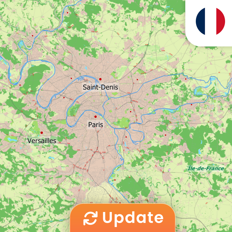
Take a boat trip to romantic Paris, or cruise past the many locks on your way to the South of France?


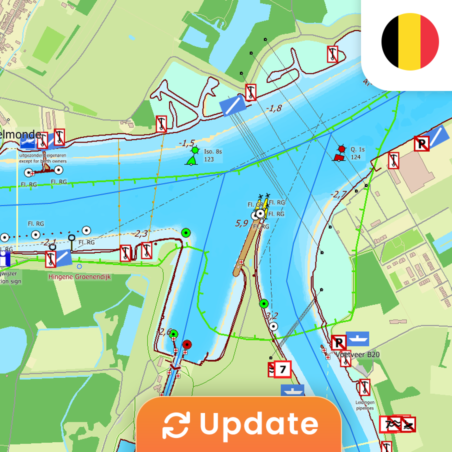
Historic cities, Flemish fries, and a cold pint: cruising through Belgium leaves you wanting more.

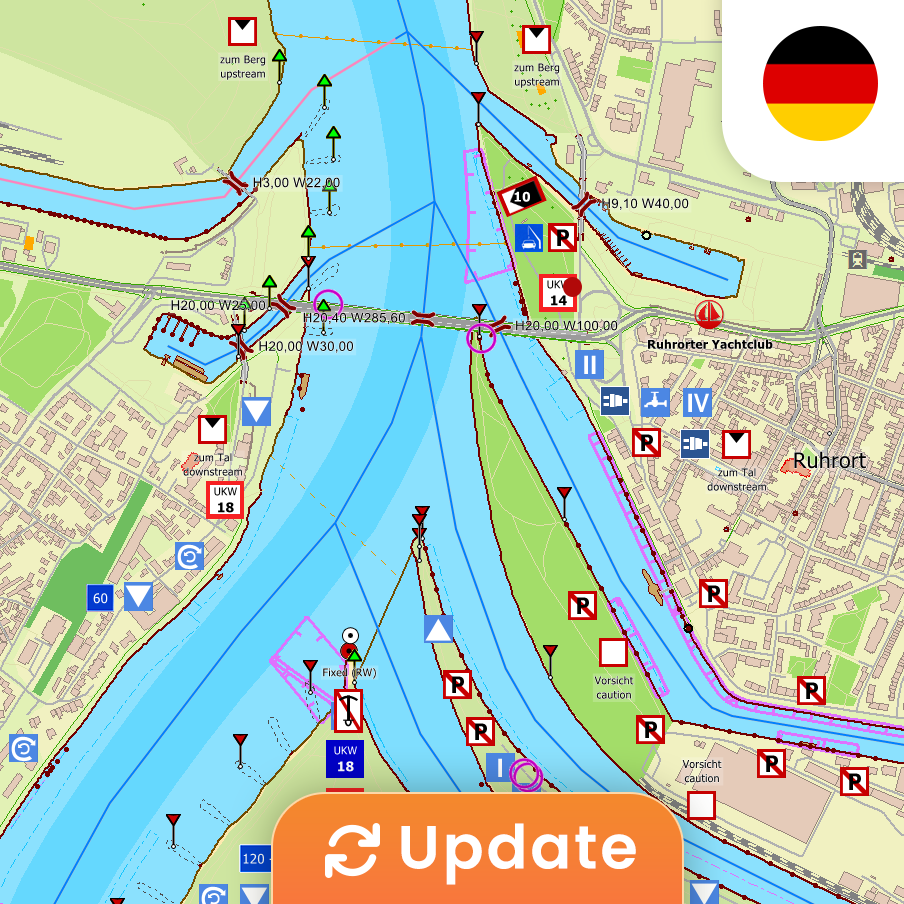
Cruising along the Moselle or the Rhine, past picturesque towns where vineyards and castles dominate the view.



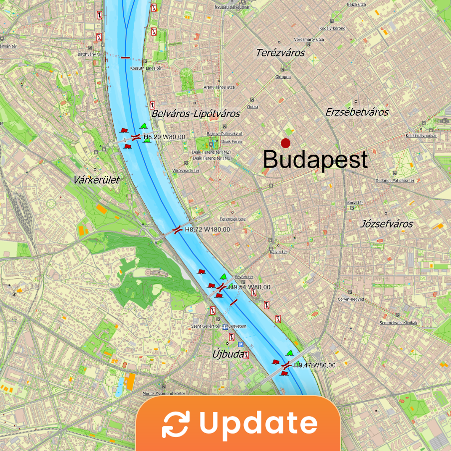
The Danube: a centuries-old route through imperial cities, unspoiled nature, and the vast horizons of Central Europe.



News
- Save €50 on your 2027 Premium Subscription today!
- Discover WinGPS: which version suits your boating needs?
- Low water levels? Sail safely and worry-free with WinGPS
- Major update for WinGPS Marine Plus - iOS
- Sneekweek Promotion: Up to €40 off WinGPS and DKW charts
- Summer on the water with WinGPS for Windows
- Updates: Wadden Sea, Oosterschelde and English East Coast.
- Do you already have WinGPS Marine Plus?
- From Paris to Budapest: always sail with up-to-date charts.
- Last Chance: Summer discount !
Harinxmastrjitte 29
8621 BJ HEEG
The Netherlands
T +31 (0) 515 443515


Copyright © Stentec Software. All rights reserved.
By using this website you acknowledge that you agree with our user agreement.