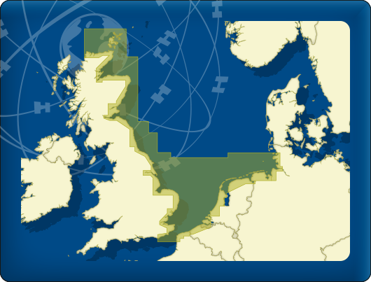
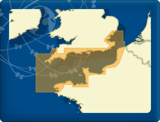
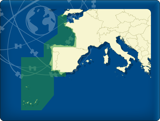
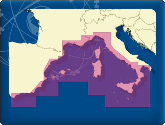
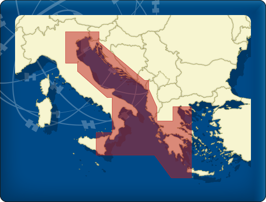
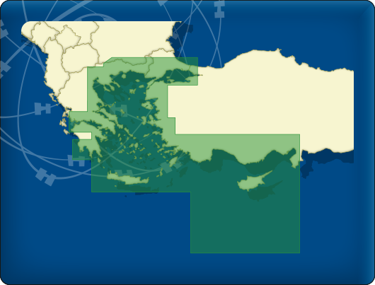
A major update for the DKW Imray charts was released last month. Many changes have been made to the charts of the Channel, the mouth of the Thames, along the Portuguese coast to Gibraltar, large parts of the Mediterranean and around Greece.
Do you own a DKW Imray-2019 chart? Then you can now download the update for free in WinGPS. In WinGPS 5 you can do this in the News Center and with WinGPS Marine you can download the updates when starting the app.
|
- C1 Thames Estuary
- Y14 The Swale
Total update is 686,2 MB
|
|
- C1 Thames Estuary
- 2300+11 River Dart − New chart
- C10 Western English Channel
- C12 Eastern English Channel
- Y40 River Exe − New chart
Total update is 1 GB
|
|
- C19 A Coruña to Gibraltar − New chart
Total update is 749,3 MB
|
|
- M40 Ligurian and Tyrrhenian Seas
Total update is 796 MB
|
|
- G1 Mainland Greece and the Peloponnisos
- G11 North Ionian Islands
- G12 South Ionian Islands − New chart
- G121 The Inland Sea − New chart
- G13 Gulfs of Patras and Corinth
- G16 Western Peloponnisos − New chart
Total update is 530,6 MB
|
|
- G13 Gulfs of Patras and Corinth
- G14 Saronic and Argolic Gulfs − New chart
- G141 Saronikos Kolpos − New chart
- G31 Northern Cyclades − New chart
- G34 Southern Cyclades
- G36 Marmaris to Kekova Adasi
Total update is 686,7 MB
|
Are you not yet in possession of the 2019 edition of the Imray charts? Order them now in our online shop, after which you may download and install the charts immediately.
|