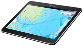
Navigation with Android - WinGPS Marine
Use your Android tablet or smartphone to show your current position on charts and plot routes. Including the route network for Western Europe and the Danube you are able to easily plot routes on the inland waters. Taking in account the measurements of your ship in combination with measurements of bridges, locks and waterways.


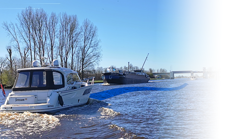
 The new charts for the Wadden Sea, DKW 1811 and DKW 1812, and DKW 1805 (Oosterschelde, Veerse Meer, and Grevelingenmeer) are now available! The quarterly...
 Are you familiar with our WinGPS Marine Plus for Android? This popular navigation app is now available as an affordable subscription and can be paired with an...
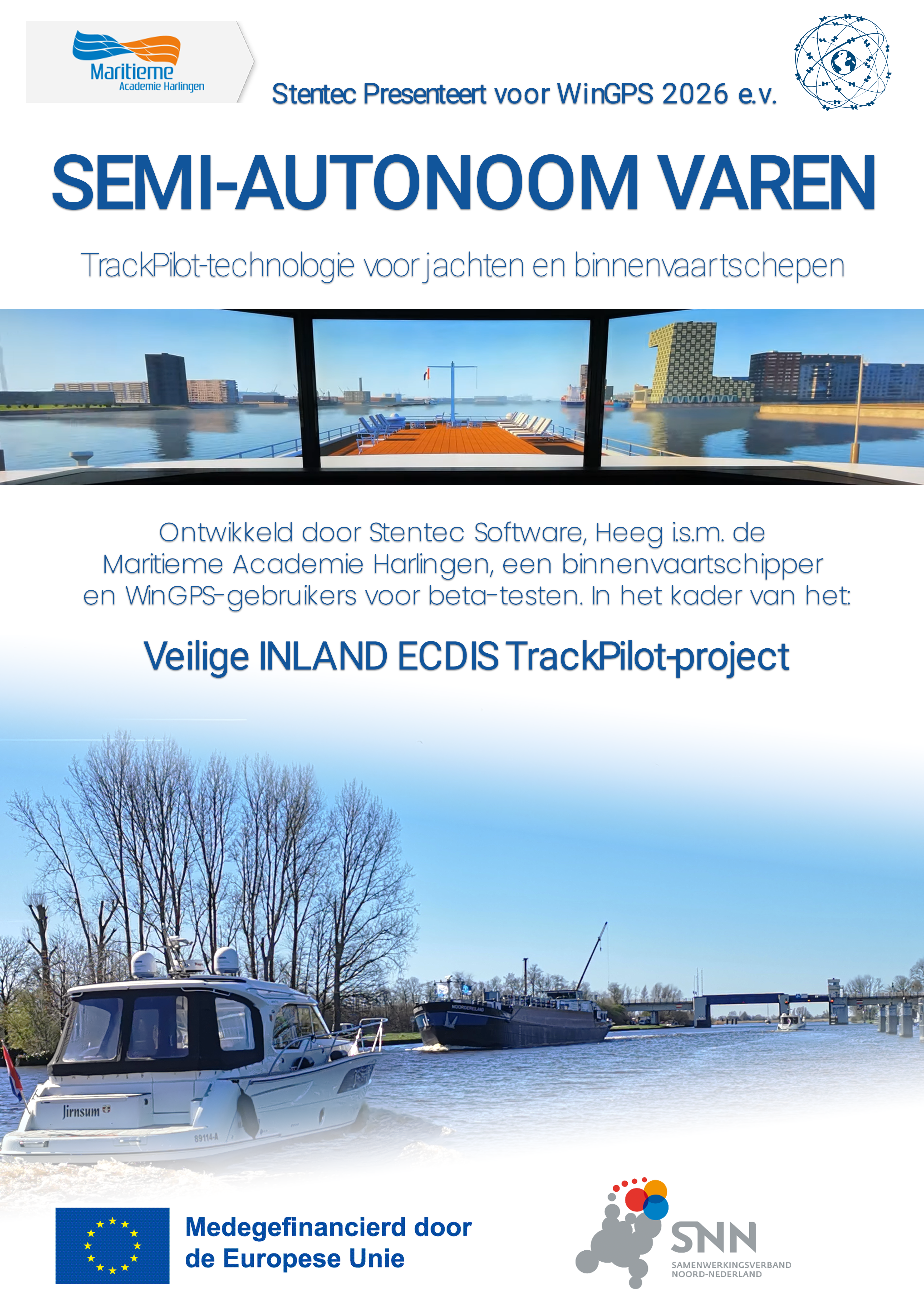
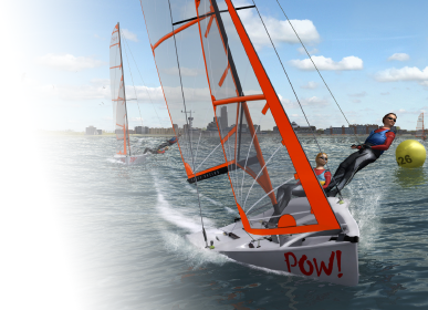
 Whether you sail for a living or enjoy your free time as a water sports enthusiast, as a skipper you know that a safe and efficient voyage depends entirely on...