


|
|
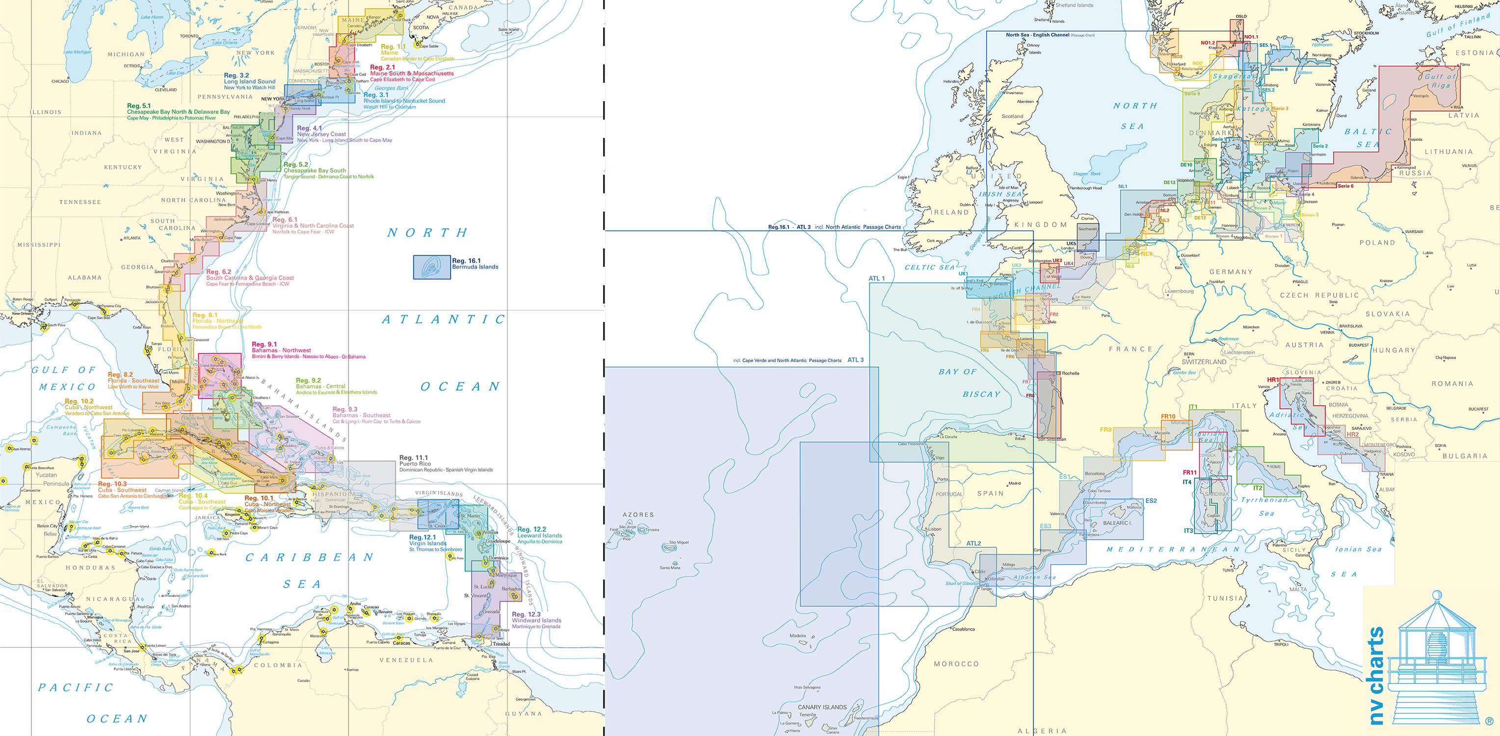
NV-Verlag series
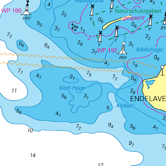
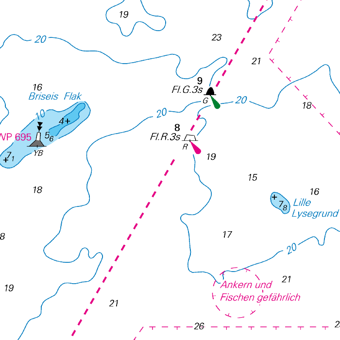
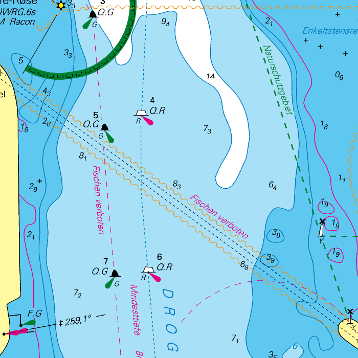
NV-Verlag is a publisher of paper navigational charts which include digital versions of the same chart set. These digital charts can be used in WinGPS 5 and connect seemlessly with Stentecs DKW charts.
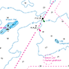
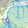
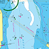
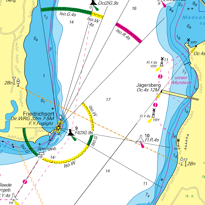
The most popular NV-Verlag chart sets are those of the Baltic Sea. These are complete sets with paper charts, digital charts and harbour pilots. The clear chart image is perfect for planning routes and viewing your current location.
Covering area
The different NV-Verlag chart sets cover the following areas:
- Baltic Sea and Kattegat. Including the Göta channel.
- North See coast: Netherlands, Germany, Denmark, United Kingdom and Norway.
- Northeast Germany: inland waters.
- Meditteranean coast: Spain, France, Italy and Croatia.
- Atlantic Ocean coast: United Kingdom, France, Northern Spain and Portugal. Including Cape Verde, Madeira, Azores and Canary Islands.
- Eastcoast United States. Including the Bermuda Islands.
- Atlantic crossing.
- Caribbean.

Please mind: these water charts are delivered as paper charts including a download code. For use on an Android tablet we recommend the use of our DKW charts. The NV-Verlags chart sets are as of now not compatible with WinGPS Marine. Follow this link for an installation guide for NV-Verlag charts in WinGPS on your Windows laptop or PC.


