 Today we released the new 2014 edition of DKW 1811. You can download this via the News Center in WinGPS if you are a license holder of the DKW 1811 chart set (or DKW 1800 Complete or North).
The most important changes on the 1811 chart set:
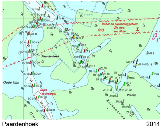
- Protected areas, within which anchoring and fishing is prohibited are included on the new charts.
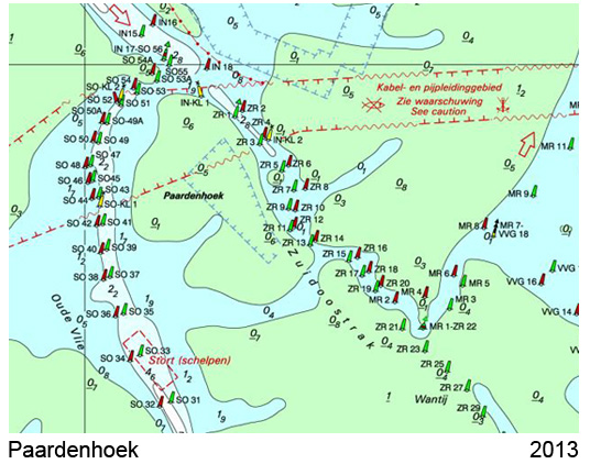
- The depth course has been updated according to the latest data. The buoys and depth contours are in track of the waterways. This is particularly the case between Harlingen and Terschelling.
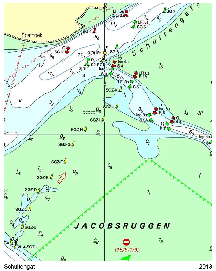
- The significant changes in terms of depth and Schuitegat shipping lanes are included on the new charts.
- The port maps from Den Oever and Den Helder changed considerably. There are buoys moved here, it was dredged and jetties are moved.
- The map is updated with the latest BaZ messages, while the paper version is only updated to the BaZ of week 20. Additionally, all still in force temporary BaZ messages are processed in this digital edition.