


Starting this week, the German Bight and the German Baltic coast are available as a digital nautical chart in 2015 edition. This chart sets are available for purchase in our online shop, at dealers and in our store in Heeg. Of course there are also upgrades available if you already own the 2014 edition.
More information about these two chart sets below
 German Bight
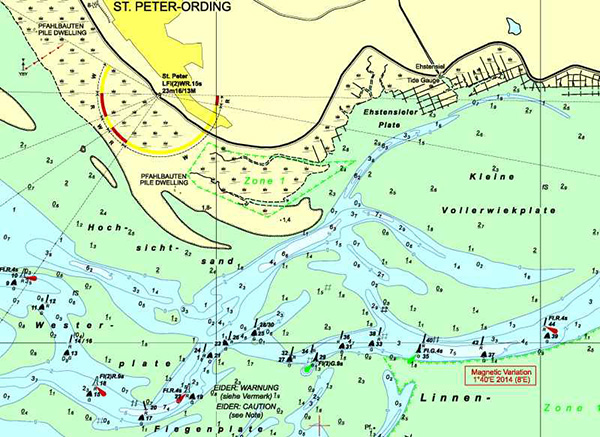
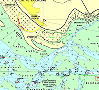
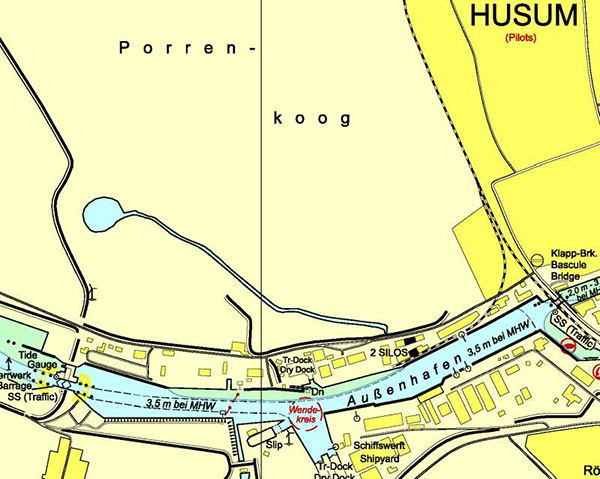
In the new 2015 edition of the BSH almost all charts are renewed. The major changes include altered depth images in the German Wadden Sea, a different course of the channel to the Eider, changes in obstructions, and the processing of the NfS, German Notices to Mariners to week 2 of 2015. The run-up to and harbor Husum now have one extra chart instead of two so zooming is no longer needed.
The list below shows the altered cards (excluding port plans and detailed maps):
- D2 Mündungen der Jade und Weser
- D3 Ansteuerung von Helgoland
- D4 Die Weser - von Robbennordsteert bis B'haven
- D5 Die Weser - von Nordenham bis Farge
- D7 Die Jade (Innerer Teil)
- D44 Elbmündung
- D46 Die Elbe von der Oste bis Brunsbüttel
- D47 Die Elbe von Krautsand bis Schlulau
- D48 Die Elbe von Schulau bis Teufelsbrücke und HH
- D49 Mündungen der Jade, Weser und Elbe
- D50 Deutsche Bucht
- D88 Helgoland
- D89 Juist bis Wangerooge
- D103 Helgoland bis Roemoe
- D104 Die Eider Eiderdam bis Lexfaehre
- D105 die Eider, Norder und Suederpiep
- D106 Hever und Schmaltief
- D107 Vortrapptief, Norder- und Suederaue
- D108 Lister Tief
 German Baltic coast
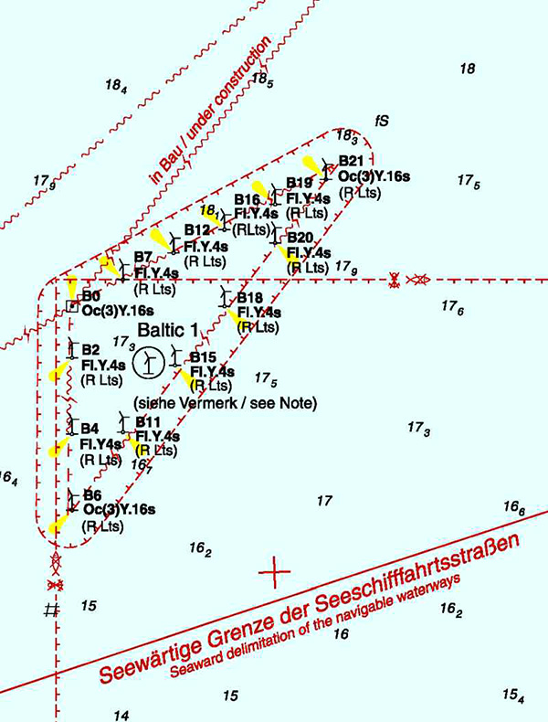
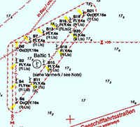
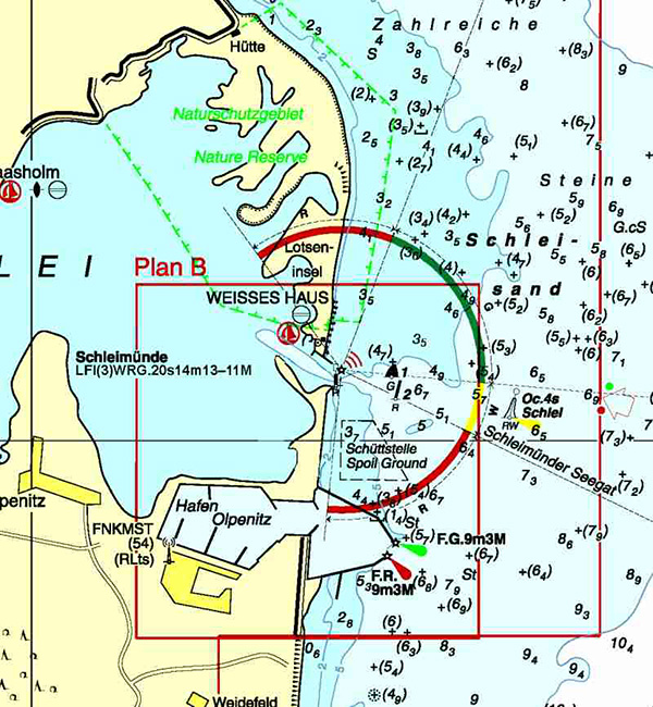
In the new 2015 edition of the BSH almost all charts are renewed. The most important changes relate to changes in obstructions, a changed situation of the Schlei estuary, and the expansion of wind farms with associated cabling. Also, the NfS, German messages processed to Mariners to week 2 of 2015.
The list below shows the altered cards (excluding port plans and detailed maps):
- D26 Flensburger Forde
- D30 Kieler Bucht
- D31 Gewaesser um Fehmarn Heiligenhafen bis D.H.
- D32 Falshöft bis Holtenau
- D33 Ansteuerung der Kieler Foerde
- D34 Häfen von Kiel
- D35 Neustädter Bucht
- D36 Travemünde bis Gesder Odde
- D37 Dahmeshoeved bis Wismar
- D41 Die Schlei von Schleimünde bis Schleswig
- D43 Gabelsflach bis Fehmarnsund
- D100 Geltinger Bucht
- D151 Arkona bis Klobrzeg
- D162 Gewässer zwischen Rügen und Møn
- D163 Mecklenburger Bucht, Östlicher Teil
- D1511 Greifswalder Bodden
- D1512 Peenestrom, Nördlicher Teil
- D1513 Peenestrom, Südlicher Teil un Kleines Haff
- D1578 Greifswalder Bodden, Nördlicher Teil
- D1579 Der Strelasund von Palmer Ort bis Stralsund
- D1622 Nordansteuerung von Stralsund
- D1623 Boddengewässer von Barhöft bis Bodstedt
- D1624 Boddengewässer von Bodstedt bis Ribnitz-Damgarten
- D1641 Ansteuerung von Wismar
- D1671 Ansteuerung von Rostock
Outstanding combination with WinGPS 5 2015
With the extended route network in the 2015 edition of WinGPS 5, its easyer to create routes to, and around the german coast. With doubled accuracy of NOAA GRIB files, and the HIRLAM data from the Norwegian weather service (yr.no), with wind, air pressure, precipitation and temperature, your route planning in this area is a lot safer. read more..


