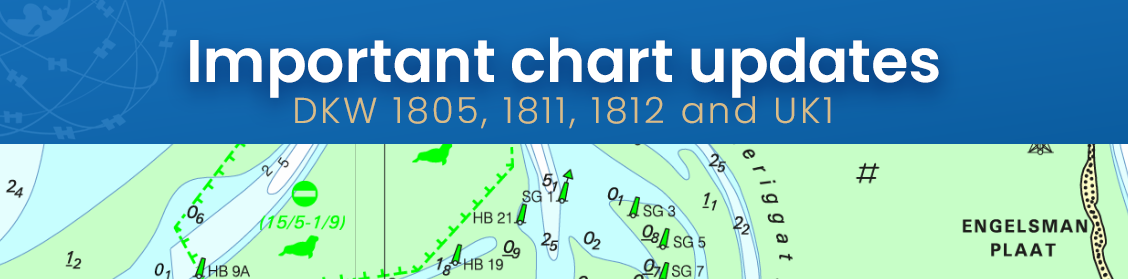
The new charts for the Wadden Sea, DKW 1811 and DKW 1812, and DKW 1805 (Oosterschelde, Veerse Meer, and Grevelingenmeer) are now available! The quarterly update for DKW UK1, covering the English and Scottish east coasts, is now online as well.
It is especially important to have up-to-date charts on board in these ever-changing and busy areas.
Do you have the 2026 edition? If so, the updates are now available for download in WinGPS.
Don’t have the 2026 edition yet? Order it here now:

The new charts from the 1805, 1811, and 1812 series are now available, and we've prepared them for you so you can download these updates in WinGPS.
Important changes include, for example, an updated depth profile of Lake Grevelingen: almost all values have been adjusted compared to the previous version.
In the Wadden Sea, a number of sandbars have shifted or changed shape, such as the Richel between Vlieland and Terschelling, and the Rif between Ameland and Schiermonnikoog.
The Simonszand has even moved a few hundred meters further out. The “Eilanderbalg” channel has eroded a larger section of Schiermonnikoog. The Kamperzand is now also shown on the chart, a sandbar between Ameland and Terschelling. West of Terschelling lies the Boomkensdiep; it has now been mapped in greater detail, but the channel still has no buoyage.
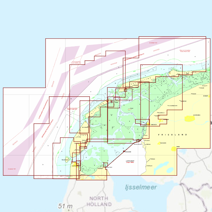
DKW 1811 Wadden Sea West
For your trips from the Afsluitdijk, Den Helder, and Harlingen to Texel, Vlieland, and Terschelling
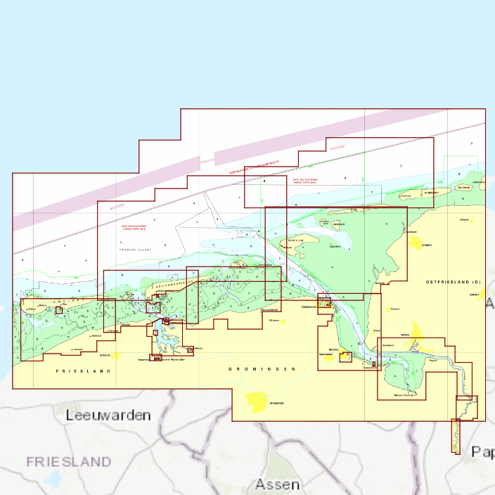
DKW 1812 Wadden Sea East
For your trips to Ameland, Schiermonnikoog, Borkum, Delfzijl, and across the Lauwersmeer.
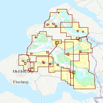
DKW 1805
The trusted chart for the Oosterschelde, Lake Veere, and/or Lake Grevelingen.
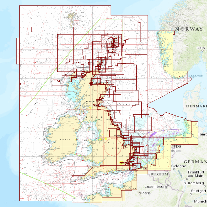
DKW UK1
Ideal for your trips along the east coast of England and Scotland.
Includes a handy overview chart for the North Sea.
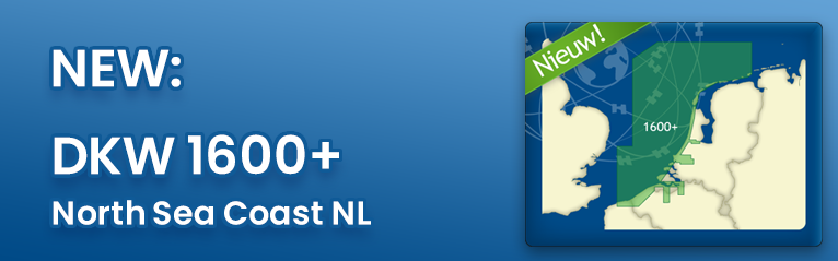
Have you seen the new DKW 1600+ yet? This digital nautical chart pairs perfectly with the DKW UK1 and the 1800 series, and thanks to the same chart display, it integrates seamlessly with them, making it feel like a single, continuous chart.
This chart also features new alarm zones, allowing you to navigate these busy waters even more safely.