No longer available |
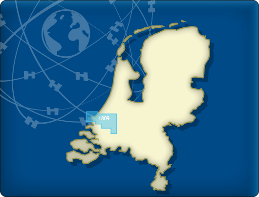
DKW 1809 Nieuwe Waterweg
The DKW 1809 is no longer published by the Hydrographic Service. As alternatives for this area, we offer:
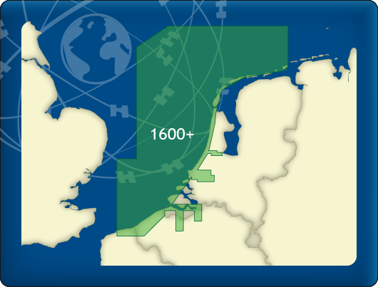
DKW 1600+ North Sea Coast Netherlands
DKW The Netherlands
Below you will find these and other chart products.
Alternative and connecting DKW charts
Click on an image for more information.
|
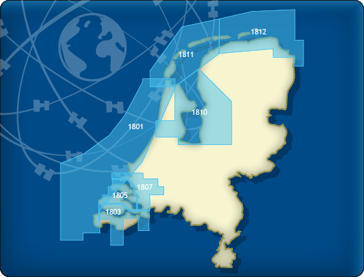
DKW 1800 Complete |
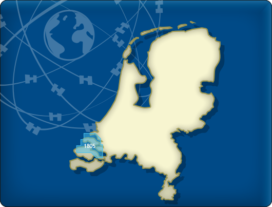
DKW 1805: |
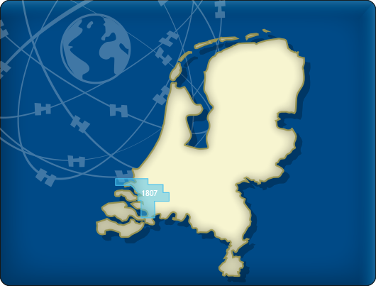
DKW 1807: |
|
DKW 1600+: |
DKW The Netherlands |
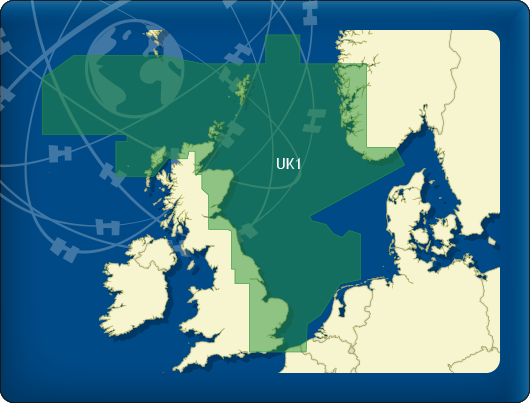
DKW UK1 |