


|
DKW Delius Klasing series
Since 2014 Stentec Software publishes the well known Delius Klasing series digitally. These are based on Delius Klasings paper charts and have the same colors.
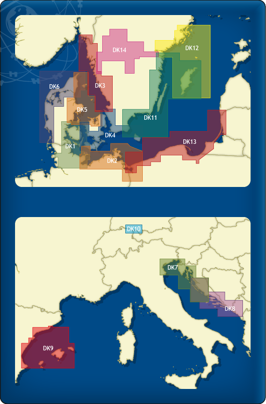
Chart coverage
The following sets are available in the DKW Delius Klasing series:
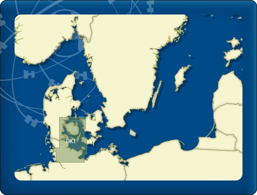
- DKW DK1 Kieler Bight & Fühnen
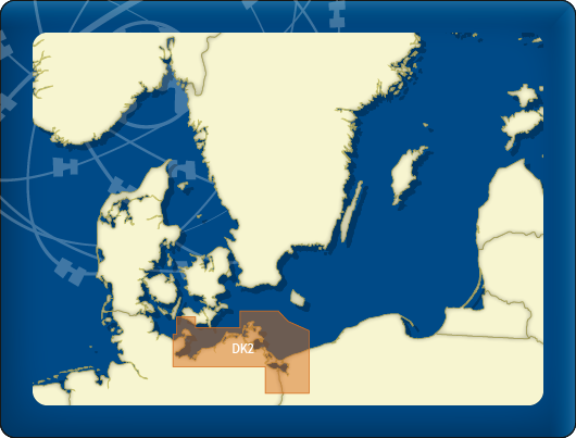
- DKW DK2 Mecklenburg-Vorpommern & Bornholm
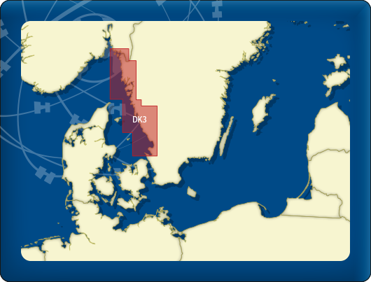
- DKW DK3 Swedish Westcoast
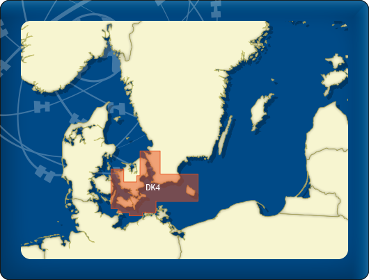
- DKW DK4 Great Belt to Bornholm
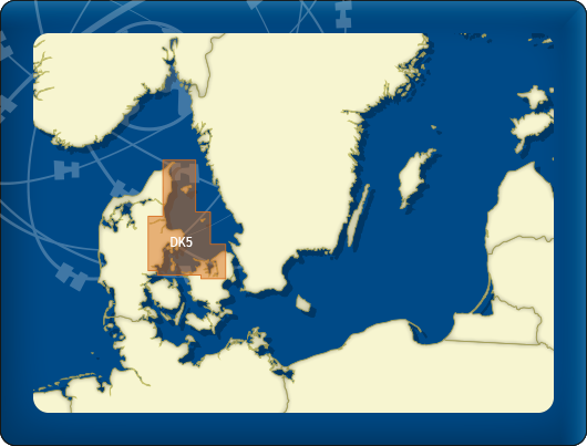
- DKW DK5 Kattegat
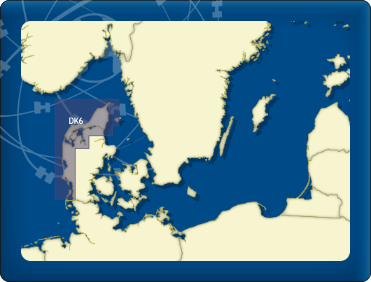
- DKW DK6 Limfjord - Skagerrak - Danish Northsea coast
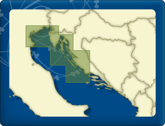
- DKW DK7 Venice - Rijeka - sibenik - Drvenik V.
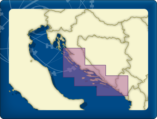
- DKW DK8 Zirje - Split - Dubrovnik - Bar
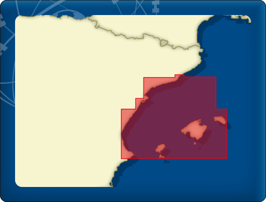
- DKW DK9 Balearic Islands
- DKW DK10 Bodensea
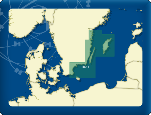
- DKW DK11 Swedish Eastcoast 1
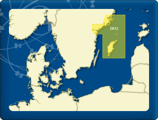
- DKW DK12 Swedish Eastcoast 2
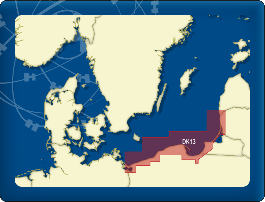
- DKW DK13 Poland & Lithuania
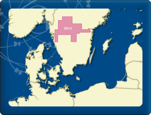
- DKW DK14 Göta Canal with Vänern & Vättern
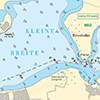
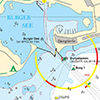
Depth image
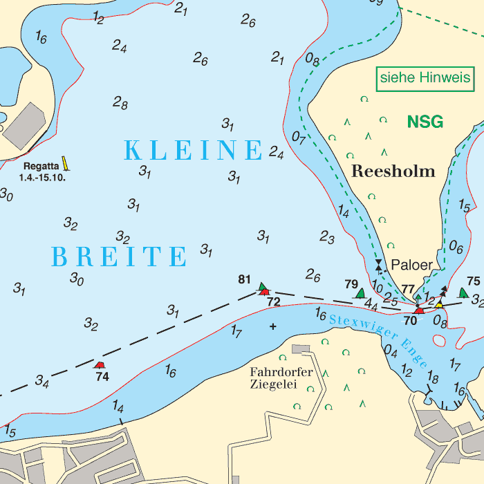
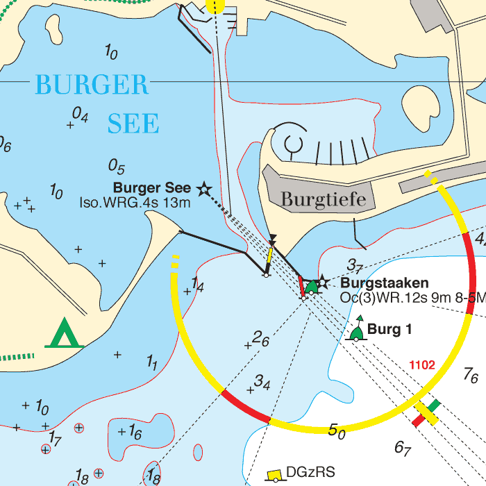
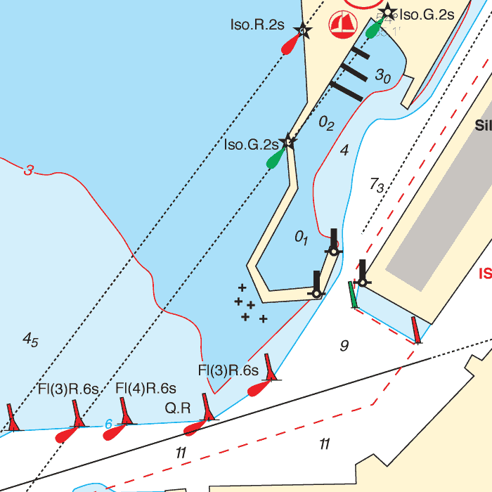
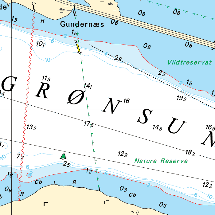
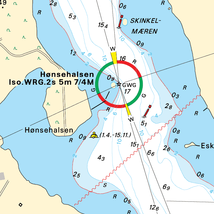
De depths are shown in clear colors; deep waters are white and shallow waters are color coded. This is comparable to the DKW 1800 series. On the mediterranean the DK6, DK7 & DK8 are a fine addition to the DKW Imray series. Please mind the Imray charts have an opposite color coding.
Stentec publishes the chart sets annually. All data is supplied by Delius Klasing. During the edition year 1 free update is published halfway through the year, giving you the most up-to-date charts during your voyage.
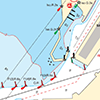
Chart image
The DKW Delius Klasing series are comprised of raster charts. Because of this, the charts are an exact copy of the paper versions and you will see pixels when zoomed in to the maximum amount. The advantage of this is that all information, for example buoyage or shallows, are projected on the exact coordinates. When using vector charts a misleading image can show up when zooming in.
All products in the DKW Delius Klasing series
Click on an image for more information about the chart set.
|
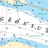
DKW DK1 |
DKW DK2 |
DKW DK3 |
|
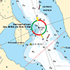
DKW DK4 |
DKW DK5 |
DKW DK6 |
|
DKW DK7 |
DKW DK8 |
DKW DK9 |
|
DKW DK10 |
DKW DK11 |
DKW DK12 |
|
DKW DK13 |
DKW DK14 |
System requirements
Windows laptop or PC:- Official WinGPS 5 version
- Between 40 MB and 400 MB free disc space
- Windows XP, Vista, 7, 8 or 10 with DirectX 9 video card (or higher)
- Official WinGPS Marine version
- Between 40 MB and 400 MB free disc space
- Android operating system, minimum of 2 GB RAM
This chart set can be used in the free WinGPS 5 Lite for Windows and can also be installed in the WinGPS Marine apps for Android. For route planning with rotating chart and AIS you will need WinGPS 5 Pro or the paid version of WinGPS Marine. Click here for more information about the WinGPS series.
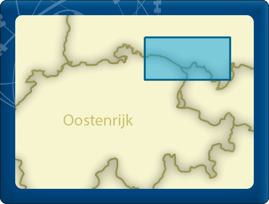
Connecting chart sets
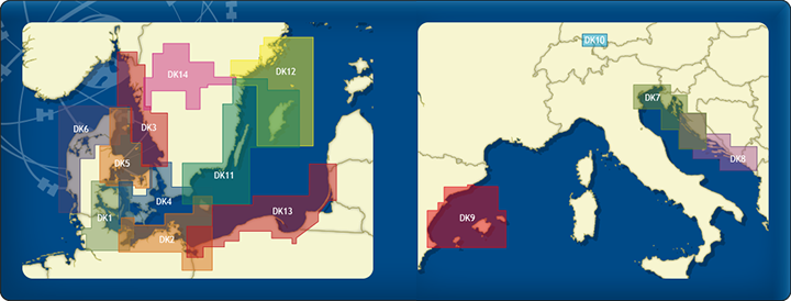
Click on one of the chart areas to go to the corresponding chart set in our webshop.
test


