The digital water charts of Delius Klasing (DKW DK1 to DK14) for WinGPS 5 are available in 2015 edition.
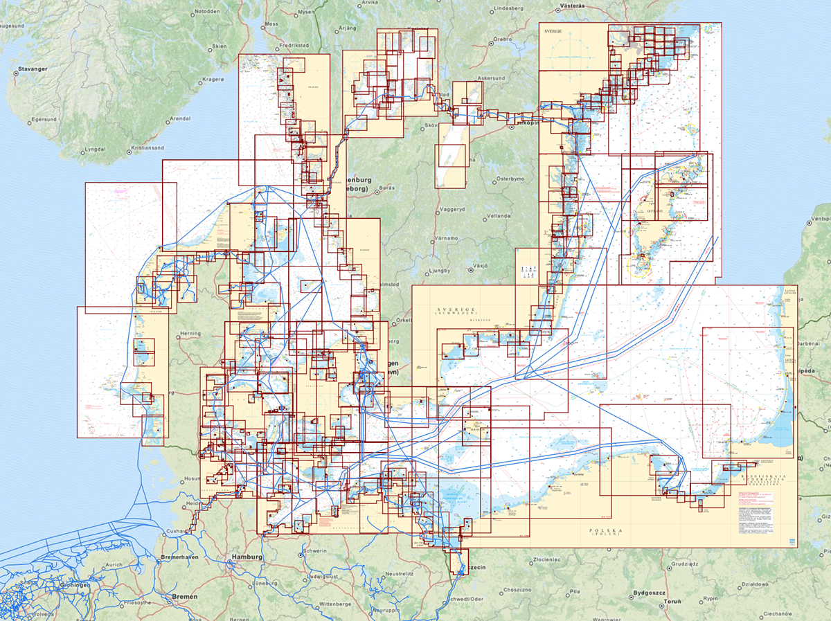
These chart sets include 1330 charts divided over 13 sets. Both the design and the chart layout have changed significantly compared to last year. There are over 70 marina charts replaced or upgraded.
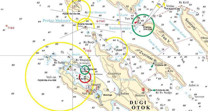
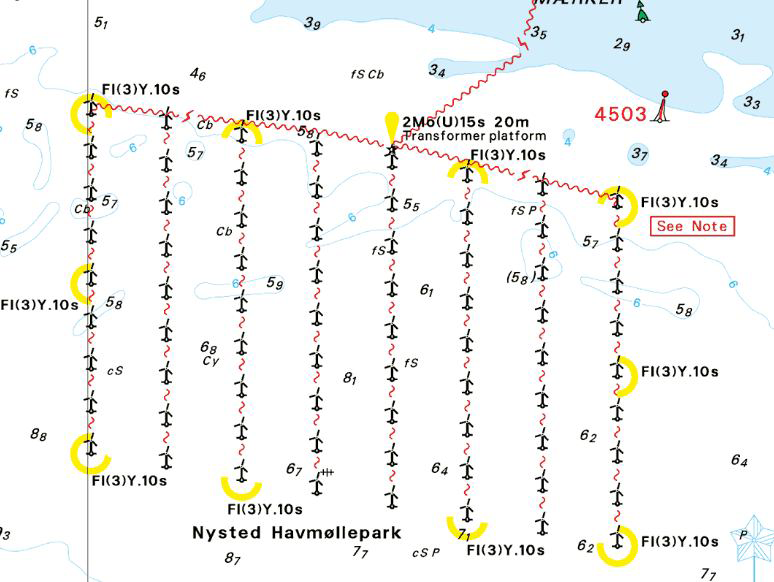
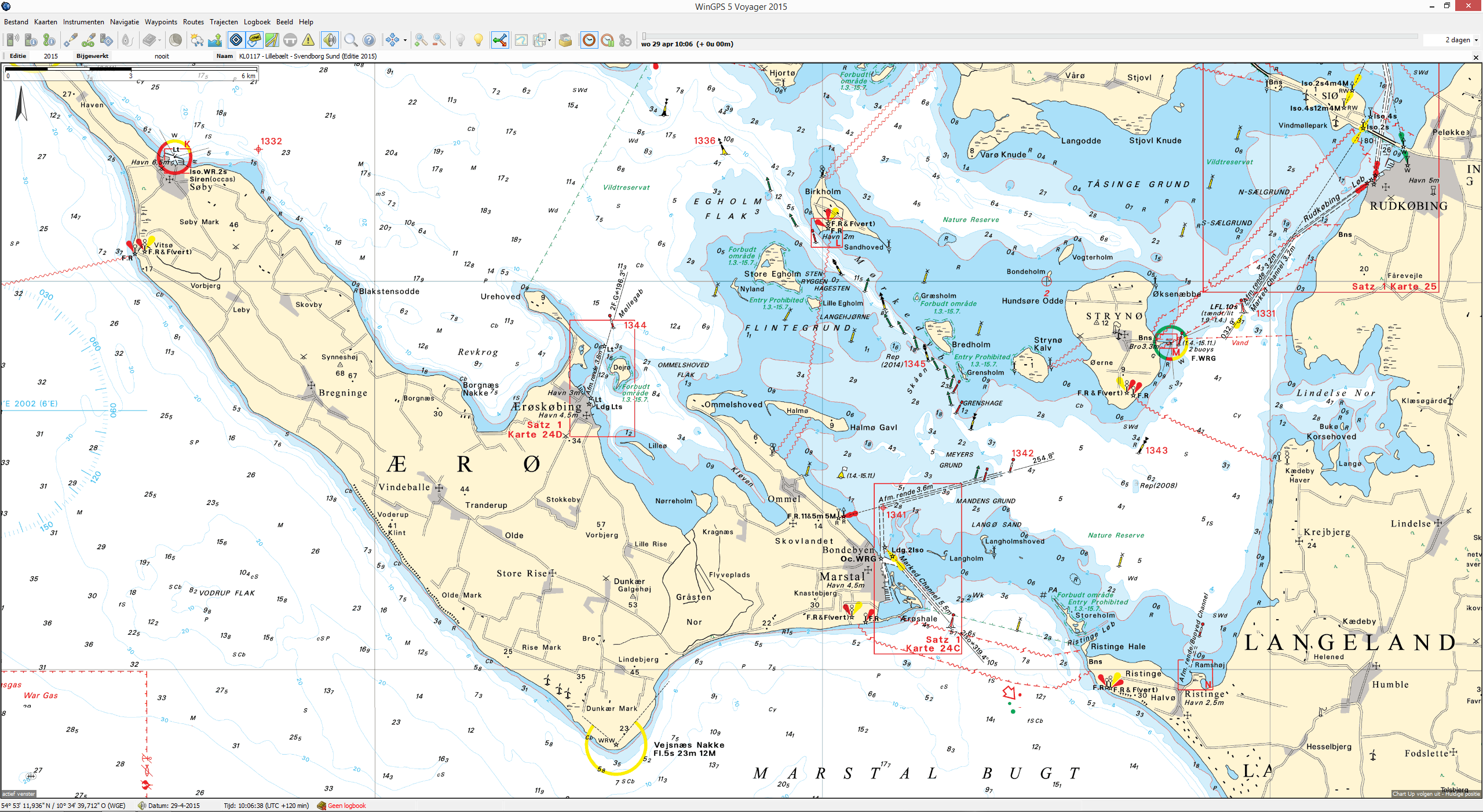
The 2015 edition of the Delius Klasing chart set offers an updated depth image of the seas in the area. On several places there are constructions for wind farms, which are clearly marked on the charts. The main changes are to be found around Warnemünde, Wismar, Skagen, Kiel and Ahus. Here the ports and their associated fairways are expanded, dredged and reconstructed.
The series cover the Baltic Sea region and part of the Danish and Norwegian North Sea, the Limfjorden to Kaliningrad and from Hamburg to Stockholm. Also the chartset includes charts of the Mediterranean around the Balearic Islands and the Croatian coast (with adjacent areas of Venice to Dubrovnik).
The new charts are available as a digital download and can be used directly in WinGPS 5 for your Windows PC. These charts will also be available for WinGPS™ Marine on your Android™ device in the course of next week.
Screenshots: