


|
|
DKW Belgium
The DKW Belgium is developed for sailors, motorboaters and commercial shipping. The chart gives a clear view of all Belgian water ways and is ideal in combination with the paid versions of WinGPS. Using the route network you can easily and quickly plan routes on the inland waterways of Belgium.
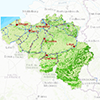
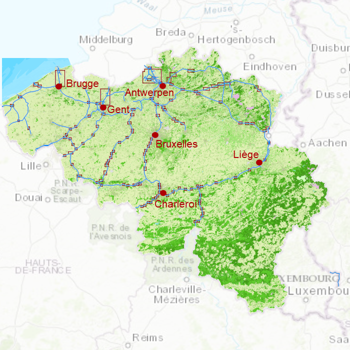
Covering area
In this chart set all large Belgian waterways are covered. Including the Maas, IJzer, Bovenschelde, Charleroi-Brussel Channel, Dender and the Gent-Brugge Channel.
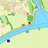
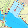
Depth image
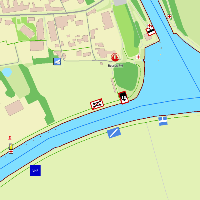
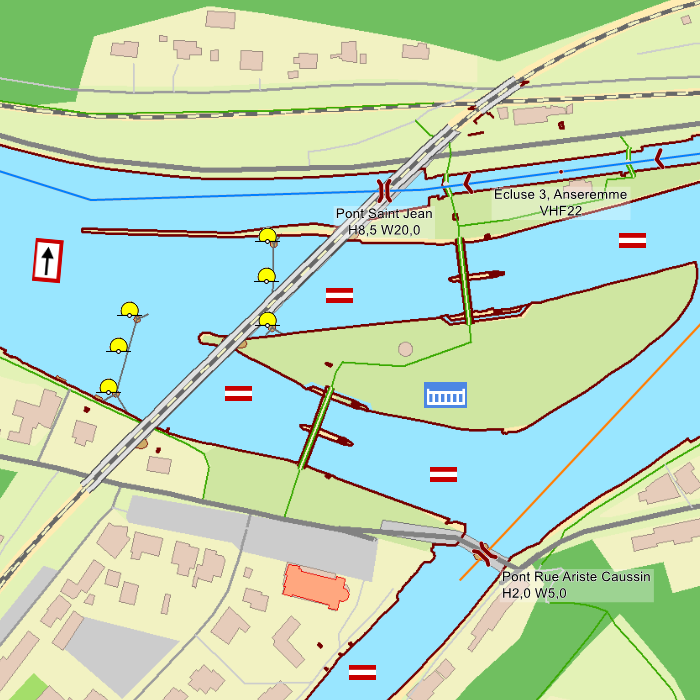
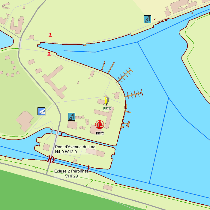
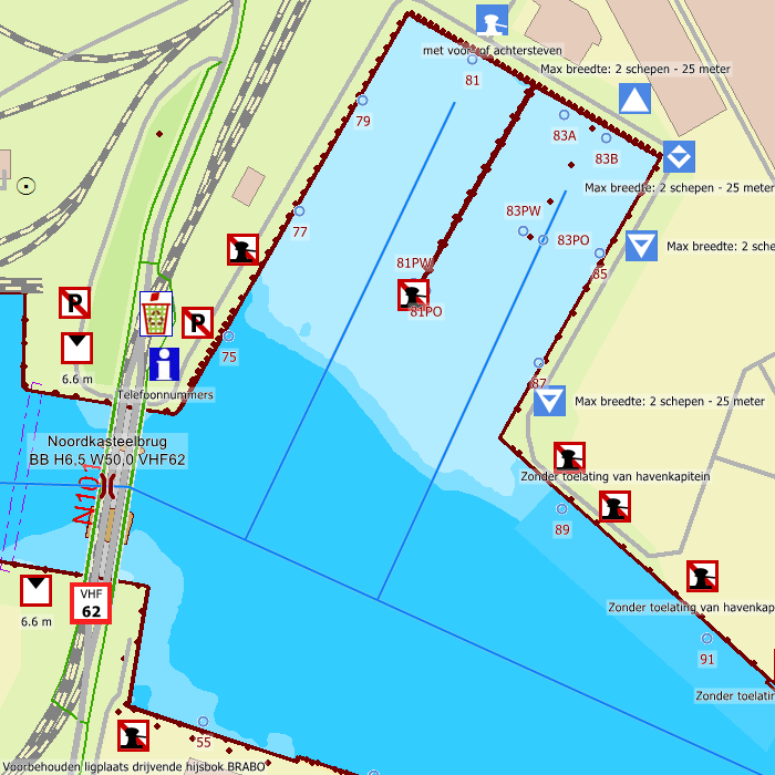
This chart set has a unique and clear depth image. The chart is published annually by Stentec, based on OpenStreetMap, IENC charts and user remarks. The chart has a high level of detail with 1 meter per pixel, making it possible to zoom in up until the jetties at your home port.
This hybrid chartset consists of, a.o.
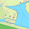
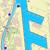
- 1 Detailed chart for orientation and route planning (scale 1:6.000, 2m/pixel).
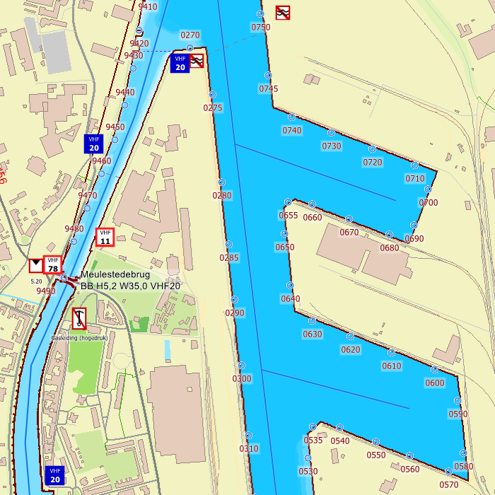
- 6 Detailed charts for large harbours, including harbour numbers (scale 1:3.000, 1m/pixel).
- 108 Highly detailed charts for a.o. lock passages and busy water ways (scale 1:1.500, 0,5m/pixel).
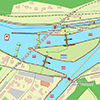
Chart image
Stentecs inland water charts are so-called hybrid charts. The bottom surface is a raster format. This is where a.o. the quays, depths and buildings are shown. All other navigational information is projected on top of this through waypoints. These waypoints remain the same size when zooming in or out. The chart can be fully personalized by adding or removing certain waypoint groups and showing you only the information you select.
In total, the DKW Belgium has 7.816 waypoints, with a.o. buoys, harbours, moorings, diesel tank stations, watersport campsites, shore power connections and VHF channels.
Specifically for commercial shipping waterway signs and VIN moorings are added.
System requirements
- Official WinGPS version
- 2,3 GB free disc space for this chart
- Windows laptop or PC: Windows Vista, 7, 8, 10 or 11 with DirectX 9 video card (or higher)
- Android tablet or smartphone: Android operating system, minimum of 2 GB RAM
- iPad or iPhone: iOS - Apple operating system, click here for more information.
This chart set can be used in the free WinGPS 5 Lite for Windows and can also be installed in the WinGPS Marine apps for Android. For route planning with rotating chart and AIS you will need WinGPS 5 Pro or the paid version of WinGPS Marine. Click here for more information about the WinGPS series.
Connecting chart sets

Click on one of the above areas for a direct link to the chart set.
test


