| Delius Klasing 2017 |
|
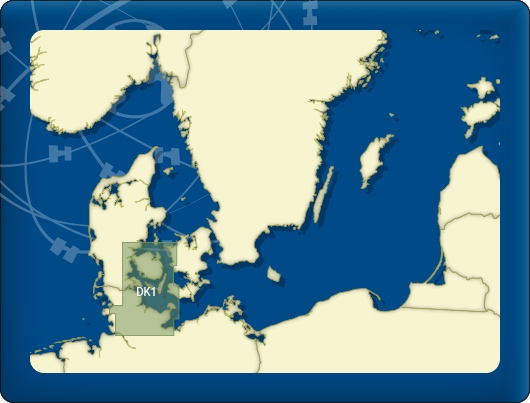
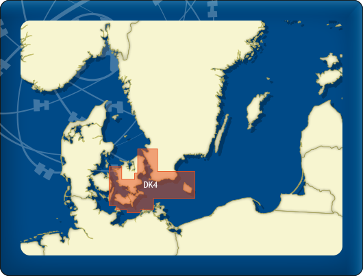
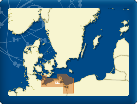
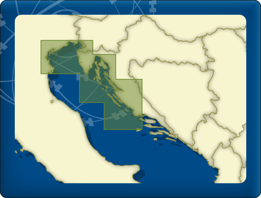
All Delius Klasing charts are available in the 2017 editions. These charts sets consist of 1424 individual charts, divided into 14 sets. A large number of harbour charts have been replaced or updated within these sets. The Delius Klasing series cover the Baltic Sea area and a part of the Danish and Norse north seacoast, from the Limfjorden to Kaliningrad and from Hamburg up until Stockholm. Also contained in this series are chart sets for the Mediterranean Sea around the Balearic Islands, the Croatian coast (with adjacent areas from Venice to Dubrovnik) and the Bodensea. 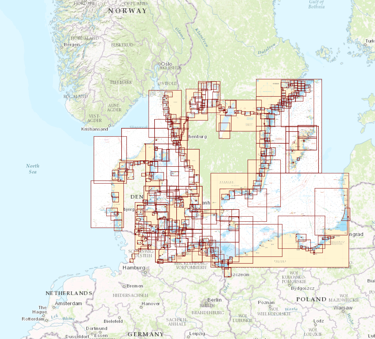
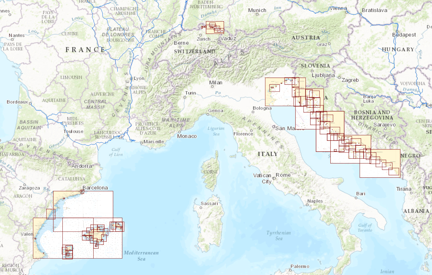
Click on one of the images for an enlarged view. Overview of top selling Delius Klasing sets.
|