


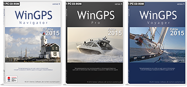
The developments of the new WinGPS 5 navigation software, edition 2015 are in full progress.
We presented the latest features on the Boot Holland 2015 (in the Friezenhal, Leeuwarden, from 6 to 11 February). What to Expect in 2015 from WinGPS 5 for laptop or PC board?
 New in WinGPS 5 Navigator 2015
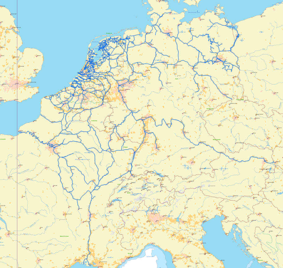
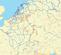
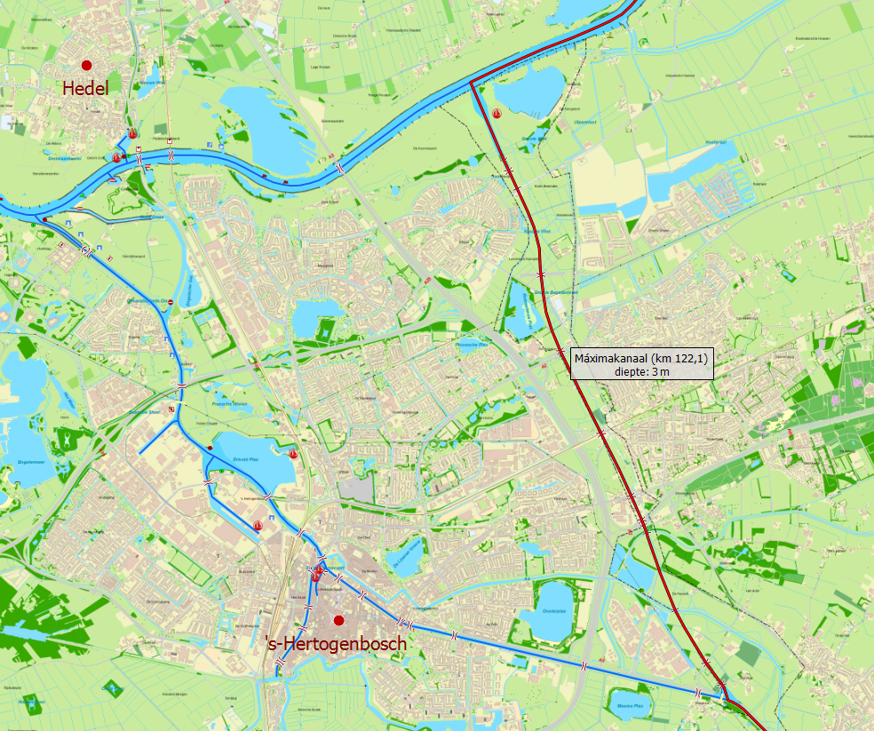
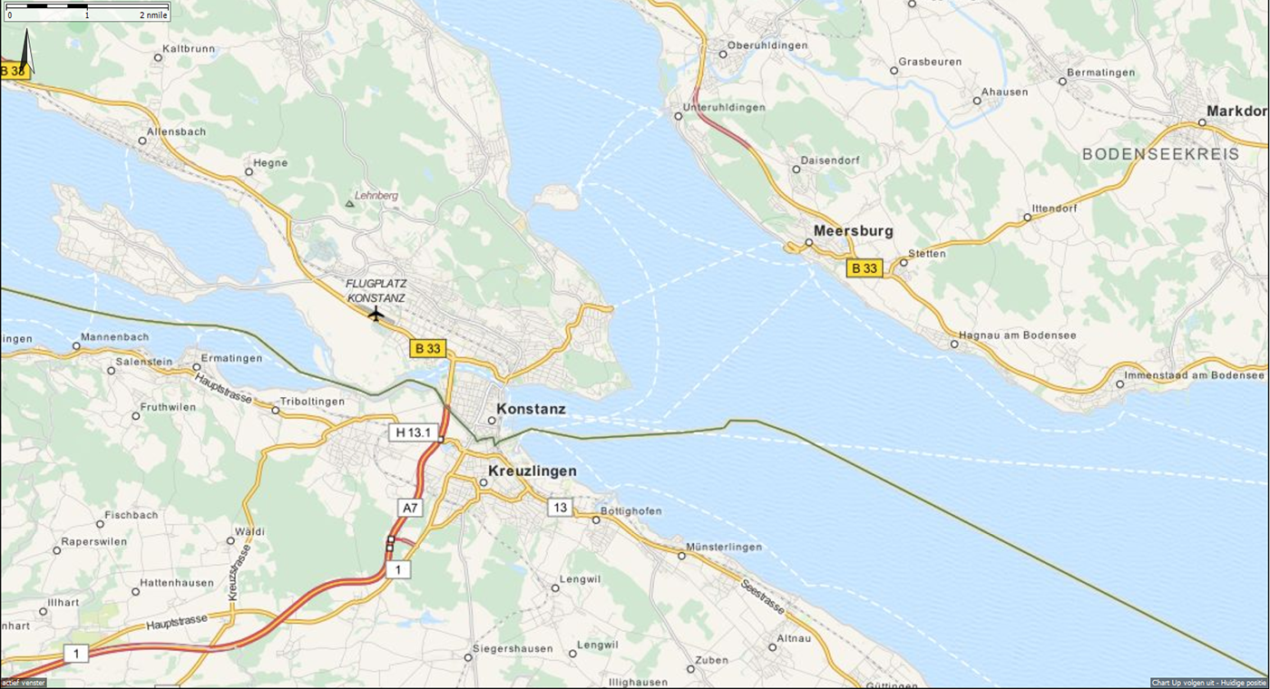
- Updated route network for accurate routing. Equipped with the 2015 operating hours of bridges and locks in Western Europe. Also new waterways like the Maximakanaal, Vaarweg Waterstad A7 Sneek, Polderhoofdkanaal between Drachten and Heerenveen. Also the Expanded route network to the Baltic, from the outside, trough the inside or through the Limfjorden. Also new waterways all the way to Copenhagen.
The network in Northern France is detailed and calibrated on the basis of the new Vaarkaart Noord-Frankrijk 2015 (northern France).
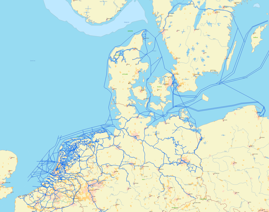
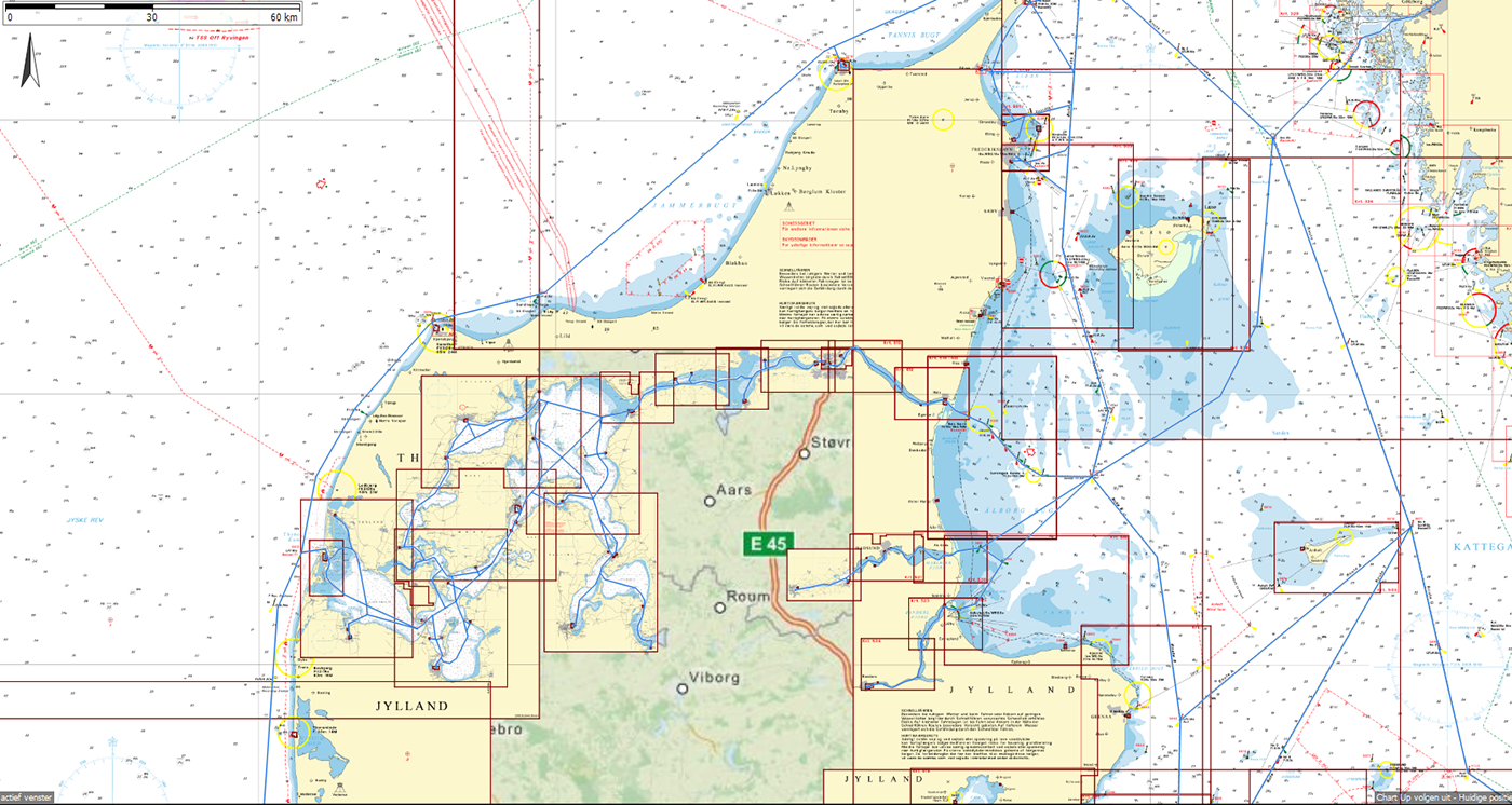
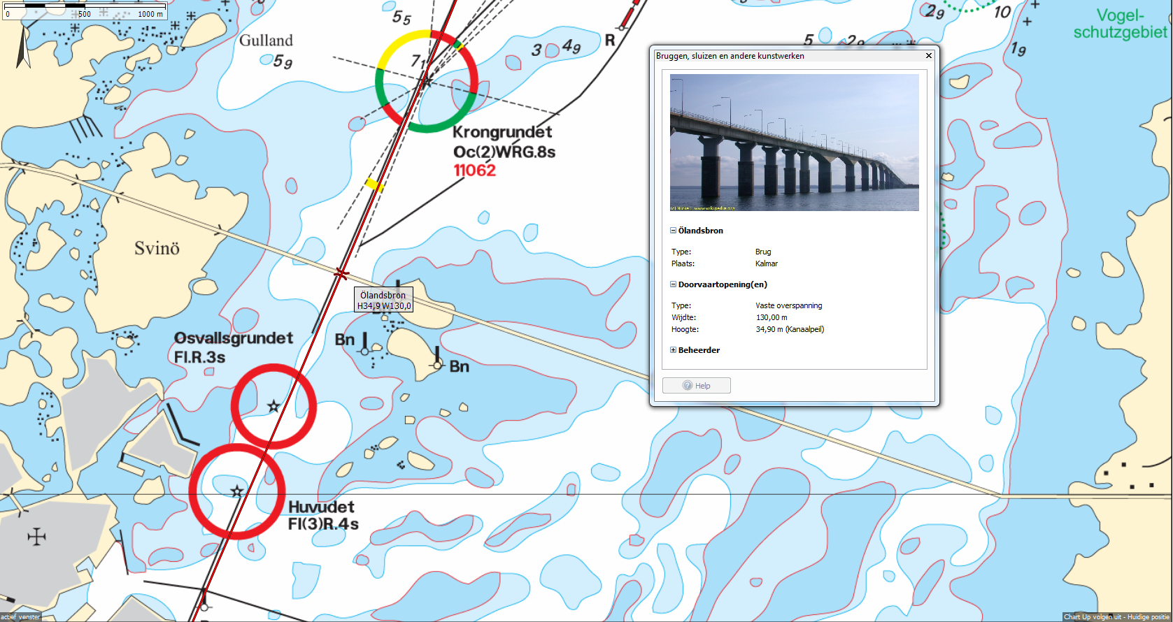
The total length of the waterway network has increased to nearly 40,000 km with up to 12,500 bridges and 2,500 locks. For the Dutch waterways is this 7.5000 km, 5,000 bridges and 350 locks. In addition there are 500 pictures of bridges and locks added.
- There is a useful search button added to quickly find a location on the chart. For example, a bridge, harbor, mooring, place (city / village), or waterway. Naturally, it works on homemade waypoints, at least if you have specified a name. The selected object is displayed on the most detailed chart.
- Waypoints are now drawn on top of the tracks, so they can no longer disappear under the track when zooming out.
 A comprehensive online help file. This can be found at Help in the menu, and by a direct link from the settings screens, or the F1 key. The help file also contains a list of specifications of all WinGPS 5 versions. The new 2015 options are listed in the next update in the help file.
- OSM (OpenStreetMap) chart using the MapQuest server up to 85 degrees north. The used OSM is stored up to one week in the Windows cache for offline use. You can zoom up to 25cm per pixel. This is ideal if you want to see AIS vessels up to scale. The OSM chart is an ideal addition to eg. the IENC charts from Germany, or for a sailing trip along the Rhône in southern France.
New in WinGPS 5 Pro and Voyager 2015 (in addition to Navigator)
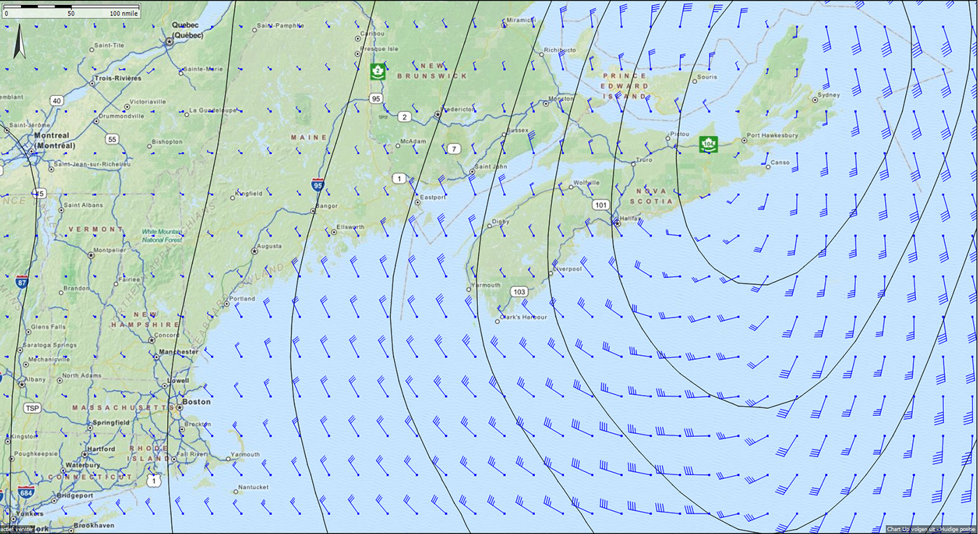
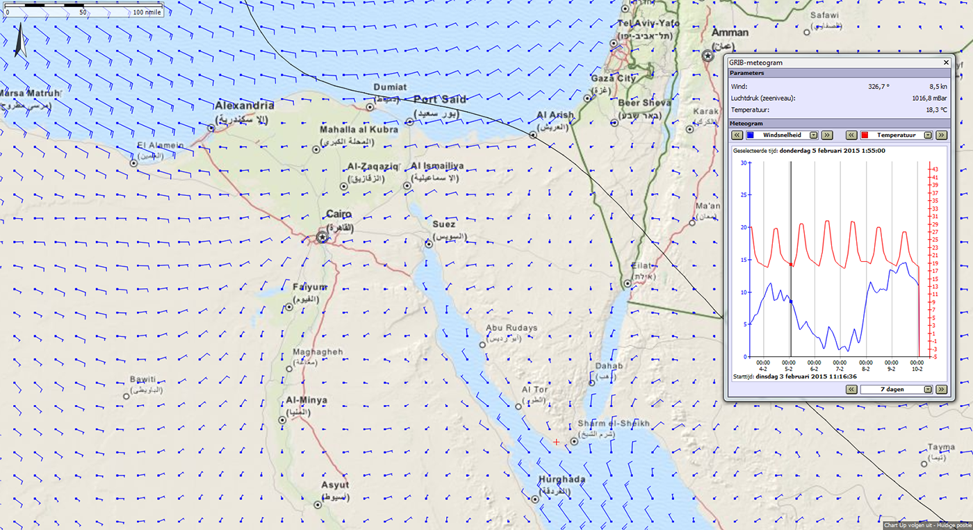
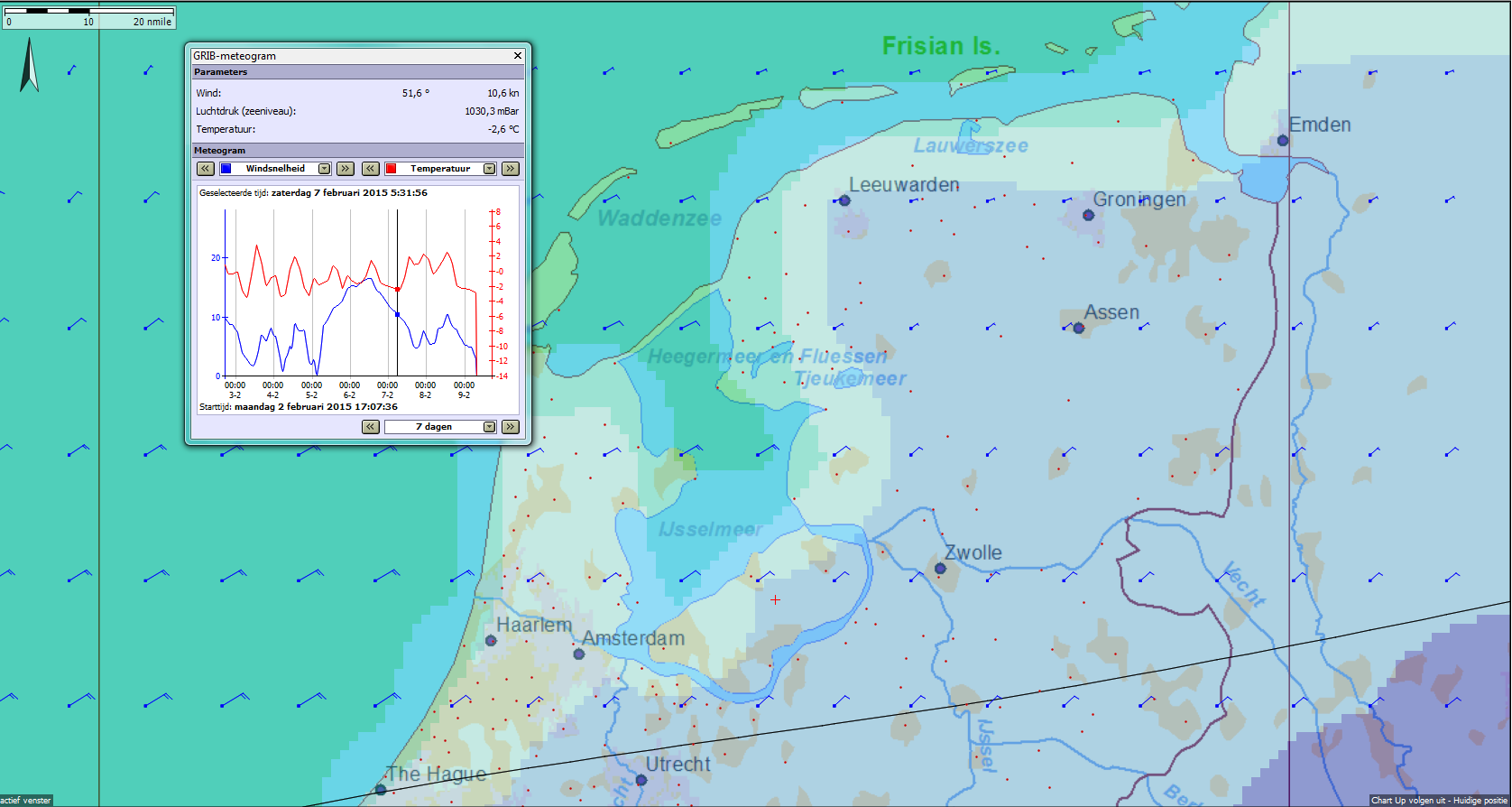
 NOAA grib files with doubled accuracy of 0.25 degree (25 × 35 km network in the Netherlands)
- The HIRLAM data from KNMI is no longer available due to access restrictions by Rijkswaterstaat. Instead of this you can use the HIRLAM data from the Norwegian Weather Service with a network of 13 × 11 km (Northern Europe yr.no) with wind, air pressure, precipitation and temperature.
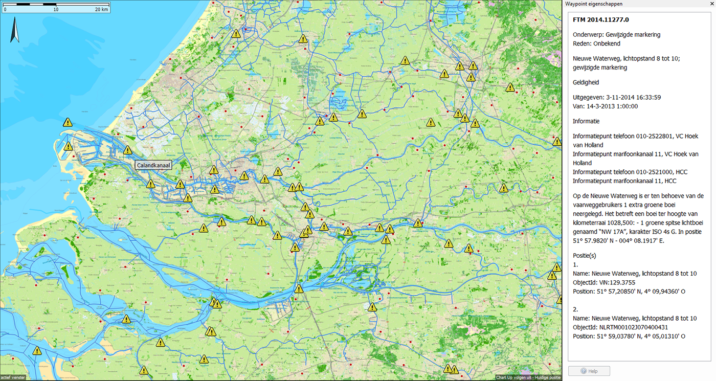
- Maritime messages with obstructions can now be downloaded and updated in WinGPS. With a new button with warning sign maritime messages will be plotted on the chart. By clicking on it you can get information about the nature of the message. Planned routes can now simply be checked for any obstructions.
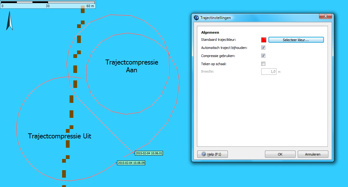
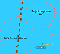 Track compression can now be tuned off for a more accurate rendering process. This creates more data, but it has a larger trajectory file (trk file). Specially made for the detection of drowning victims (SOAD).
- The built in NLTides 2015 database shows the tide stations and tidal currents with astronomical cause on the map. The implementation of the Kustfijn model is still in development. This model accurately predicts the detailed current and true depth as a result of wind and astronomical influence.
Further additions such as the Kustfijn Model, wind & depth in X-track format and route synchronization with WinGPS™ Marine apps are planned for future updates later this year (for the Hiswa boat show in March and the summer update in May).
More information? Read all about our planned updates..


