


A new important database update is available for the DKW Vaarkaart Nederland 2015 edition. This new update will give you a more professional and complete digital navigation chart in The Netherlands. With this, you'll be ready for this summer's sailing season.
Licensees can download this update for free via the News center in WinGPS. It may be that some groups turned off after the update. You can easily turn this on again at 'Waypoints > "Group Management"
If you don't have the DKW Vaarkaart Nederland 2015, you can purchase a set (North or South) for only € 79.90. The complete set is available from € 119.90 in our online shop.
Vaarkaart Nederland is also available as an upgrade from edition 2014. You can upgrade to the newest 2015 version for only € 79,90.
The July update of Vaarkaart Nederland:
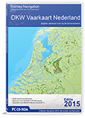
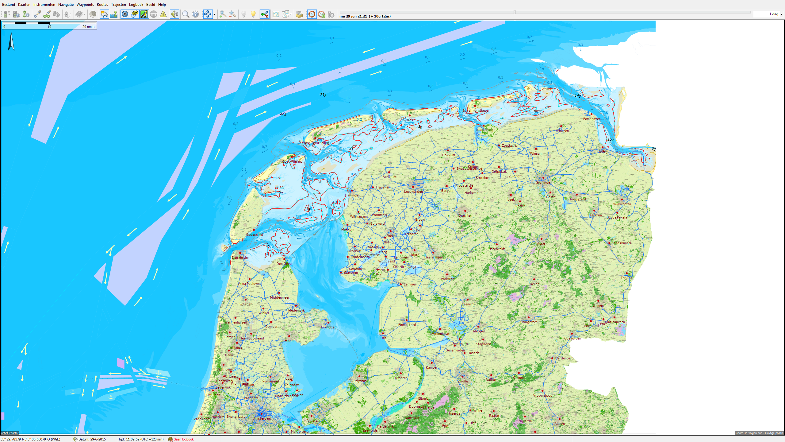
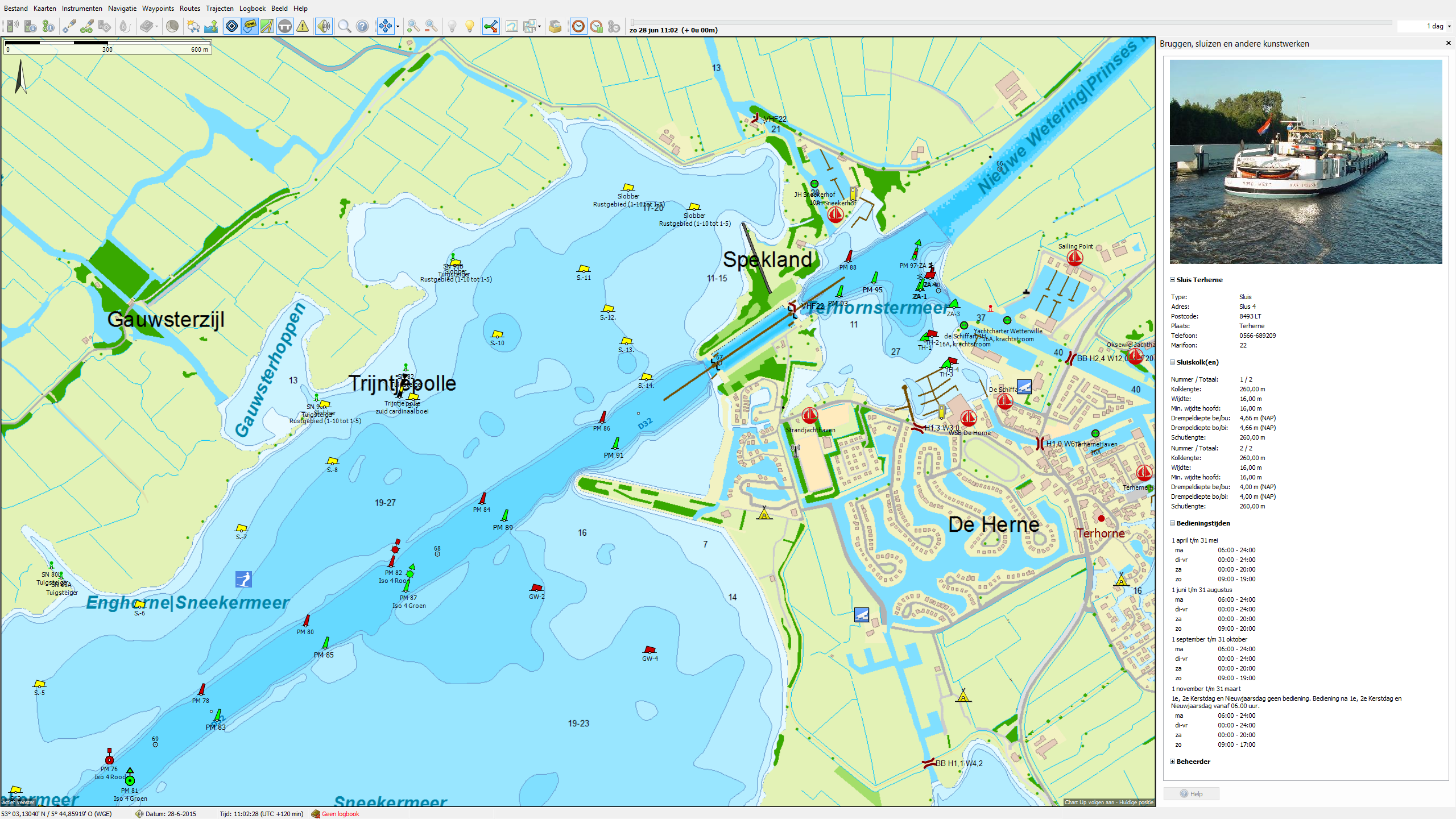
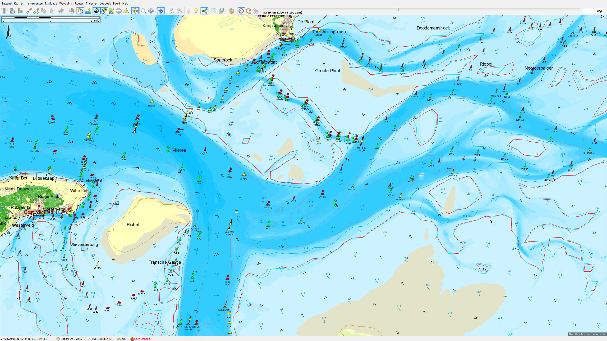
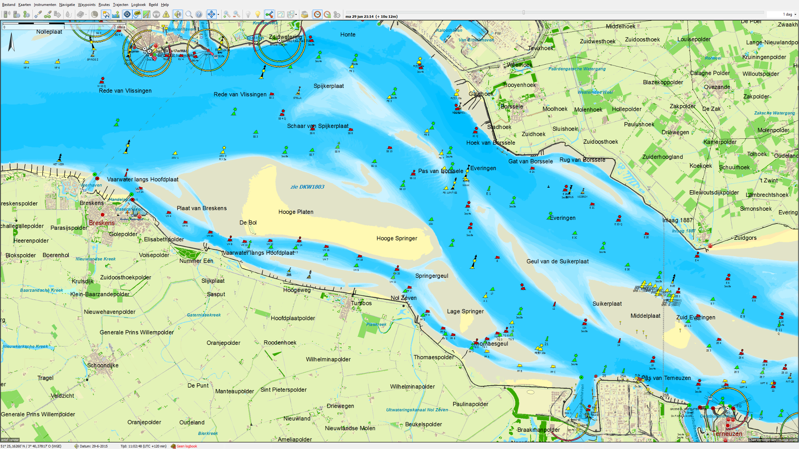
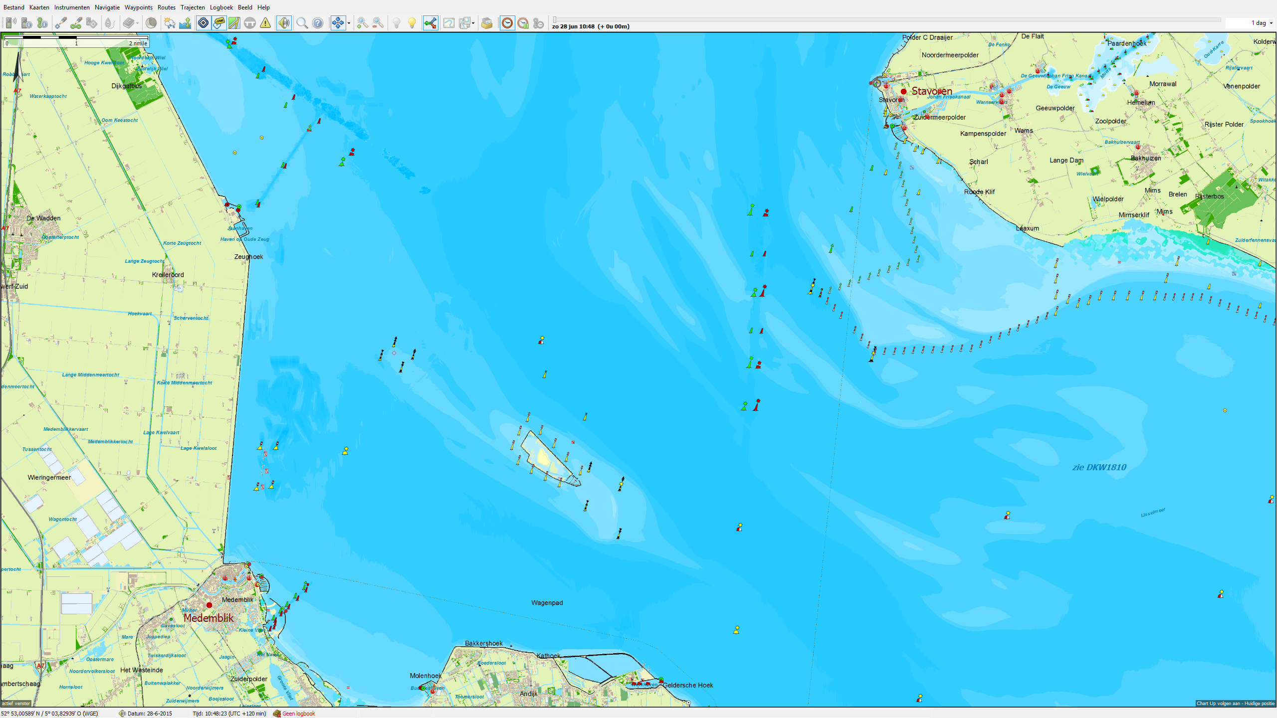
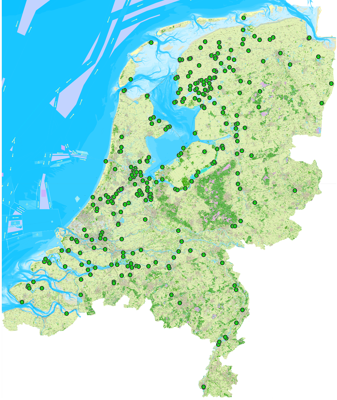
The database is enhanced with more than 4 times the objects as before. The existing buoyage is also updates. The most changes can be found on the inland waterways (rivers), Randmeren, Ketelmeer Maasvlakte and Brielse lake, the IJsselmeer, Markermeer, Wadden Sea, North Sea and Zeeland.
Expansion waypoint groups
Waypoint groups can be used to personalize your navigation as much as posible. An inland shipping ship will be using different kind of waypoint groups than the recreational boating on the IJsselmeer. To respond to this, we have some groups classified differently.
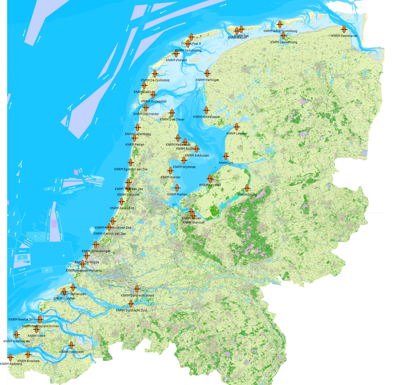
The group "Betonning" has been split into two groups: "Markering binnenwater" and "Markering Noordzee en groot water". Also the group "Veerponten" has been replaced by the more extensive group "Veerdiensten Nederland" where you now can see the sailing schedules. There are also a few new waypoint group added to the list, like; "Oplaadpunten elektrisch varen" and "KNRM Reddingstations"
Notable improvements:
- The waypoint group "Markering noordzee en Groot water" contains a twice as big scaling factor as before. This makes a better view when zooming out, because you have the waypoints even visible when zoomed out. This results in a chartview that is comparable with the 1800 series.
- The existing buoyage is updated with the marking of the RWS of the 6th of june.
- The Frisian "Marrekrite ligplaatsen" are updated.
- The buoyage icons on the Prinses Margriet kanaal are replaced with new icons form the RWS.
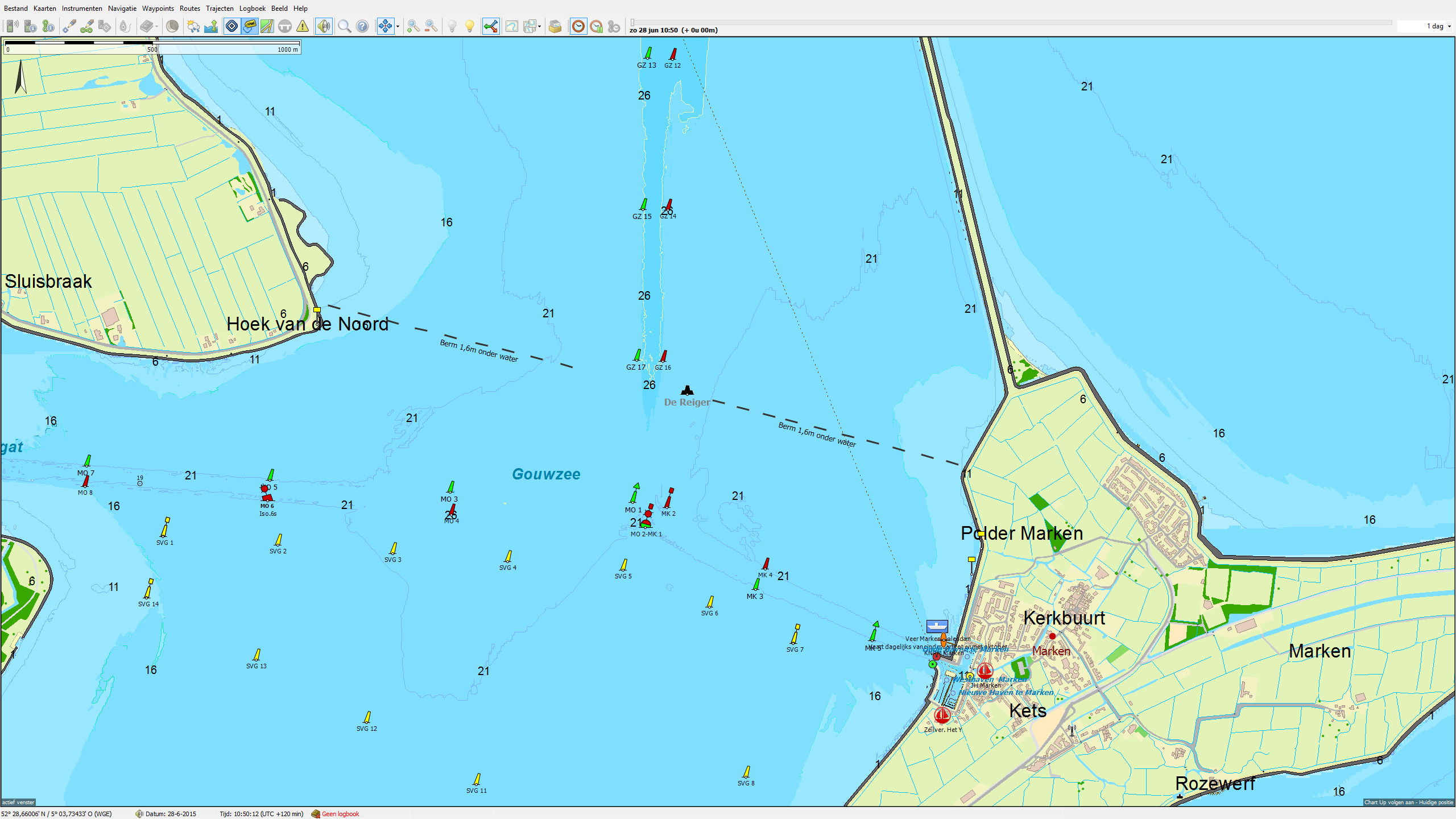
- The underwater dam at the Gauwzee is now visible on the chart. Also, the fortification "de Reiger" is now shown on the chart.
- The measuring poles on the IJsselmeer are mostly removed
- The scaling factor of the place names are improved, which makes orienting when zooming out easyer.
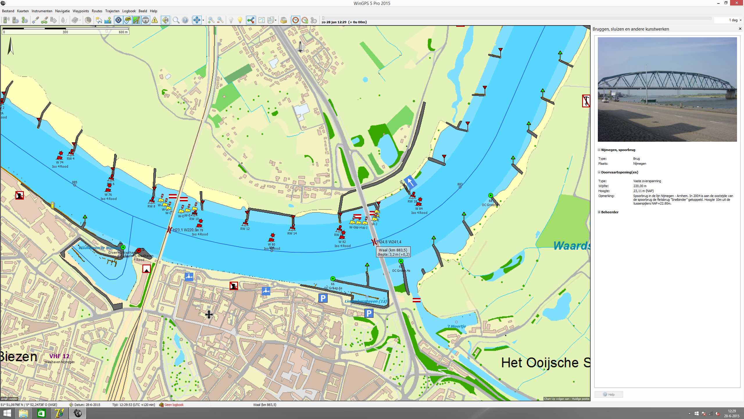
- The recreation buoyage on the Waal at Nijmegen is added.
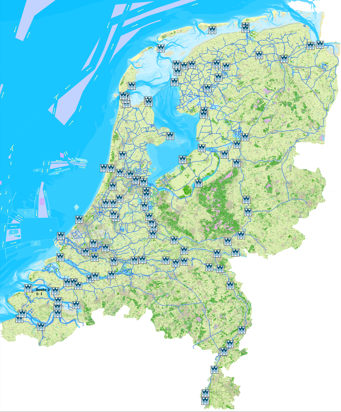
- The junctions of VarenDoeJeSamen have been updated and include a link to the Junction Booklets.
- De knooppunten van VarenDoeJeSamen zijn bijgewerkt en voorzien van een link naar de betreffende Knooppuntboekjes.
- Further, mostly additions and alterations of WinGPS users.
We want to thank our users for their comments and suggestions.
Ideal in combination with WinGPS and Kustfijn model
Only the WinGPS 5 Voyager 2015 has the function of route optimalisation using the detailed Kustfijn model. This model gives a 48 hour forecast of the currents and is corrected for wind influences on the currents. Using tides, beaching and navigation will be a lot easier for you. With the timeline and the Kustfijn (Coast Fine) depths, you can clearly see the spots where you could go beaching.
Want to know more about the Kustfijn of WinGPS? read more about WinGPS 5 2015.
WinGPS Service Card 2015 users get €10,- discount on the DKW Vaarkaart Nederland 2015. This makes a price of € 109,90. (log-in with your Stentec account to get this discount).


