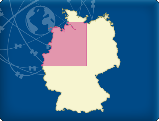
Available now: DKW Vaarkaart Northwest Germany 2016
DKW Vaarkaart Northwest Germany

From €69,90

The 2016 version for DKW Vaarkaart Northwest Germany is available. These detailed charts are developed for sailors, motorboaters and commercial use within Central Europe. with, amongst others, the Ems, the Küstenkanal, Weser and Elbe-Seiten Kanal.

Updates 2016
There were a lot of updates for these charts, including:

  • By popular demand a lot of information was added to the port of Emden and the Ems, such as buoys and depth gradients. Commercial users are thus no longer dependent on paper charts. (See illustration 1)
  • Detailed maps are added around locks. This makes it possible to zoom in even further for extra details regarding the locks. (See illustration 2)
  • The harbour area of Hamburg has received a major update: A lot of ports were added to the database and buoys & depth gradients have been adjusted. (See illustration 3)
  • The colors of the charts have been changed, which makes the chart images calmer and easier to read. Fairways (if declared) and special hazardous areas are now better indicated. (See illustration 4)
  • North of Emden are some peat channels mapped, navigable for pleasure cruises. (See illustration 5)
  • The Küstenkanal between Dörpen and Oldenburg received more details, e.g. a lot of waterway signs have been added along the channel. (See illustration 6)

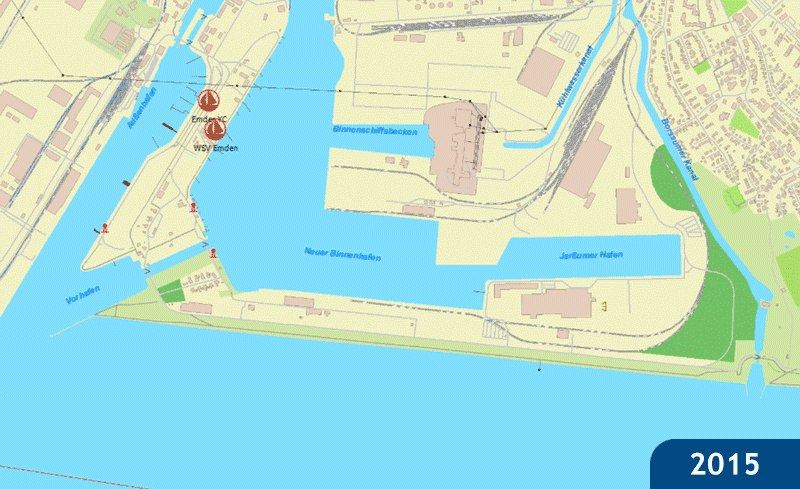
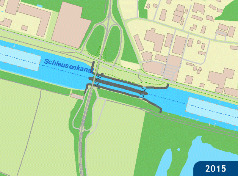
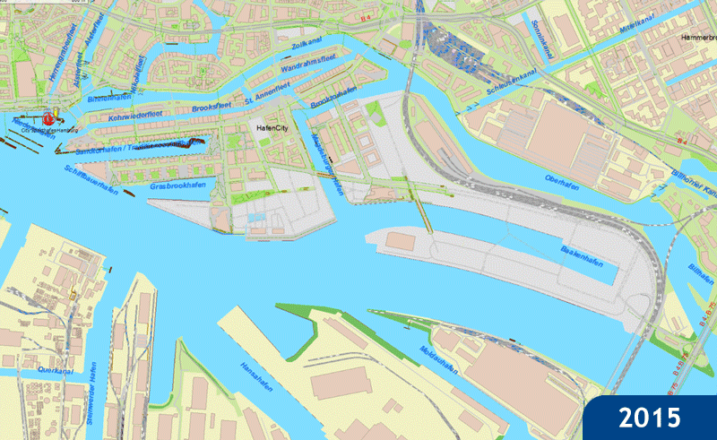
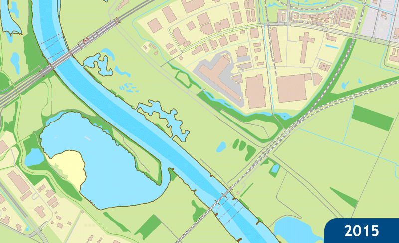
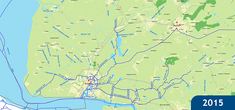
Clkick on an illustration for a bigger version (animated).

Illustration 1

Illustration 2

Illustration 3

Illustration 4

Illustration 5

Illustration 6