Navigate with the new WinGPS 6 2026! Navigate smarter, faster, and more safely with the latest edition of WinGPS 6.Start using WinGPS 6 today and you're up-to-date until 2027! |
 |
Navigate carefree! Order the Premium Subscription 2026 now and receive the latest WinGPS 6 in 2026, including all updates, exclusive discounts, and premium helpdesk support. |
| Navigation software |
|
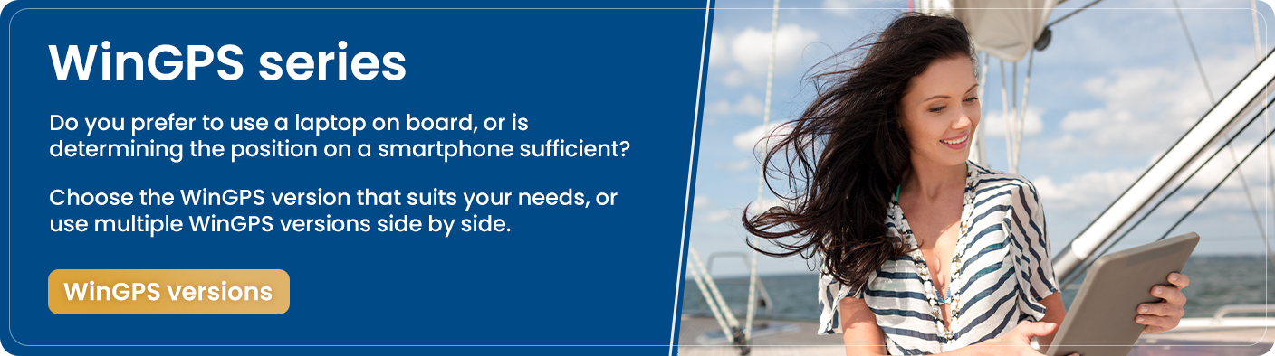
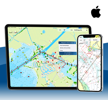
Stentec develops innovative on-board navigation software. WinGPS is the most advanced maritime route planner on laptop, board-PC, tablet or smartphone. Combined with waterway charts and your board instruments, WinGPS is a complete navigation system aboard your ship. |
| Watercharts |
|
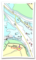
Stentec offers up-to-date and detailed nautical charts of the Netherlands, Belgium, Germany and the Danube. We also produce charts for Europes' coastal waters, the Caribbean islands and New-Zeeland. We collaborate with a.o. the Dutch Hydrographic Office, Rijkswaterstaat, Imray, Delius Klasing and NV-Verlag. |
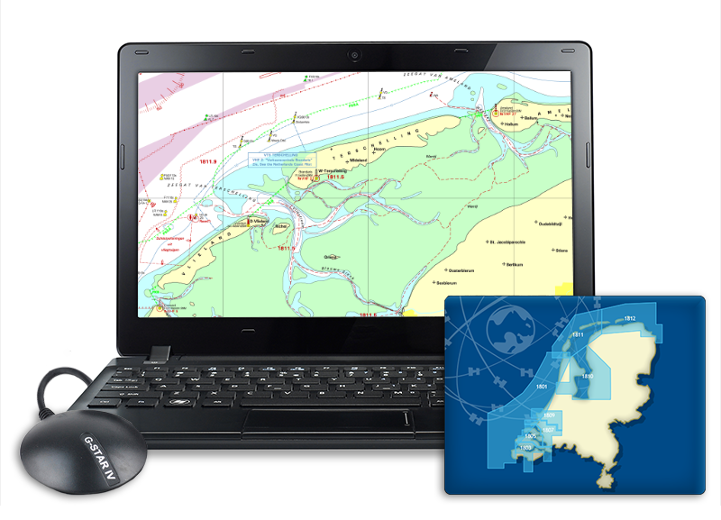
Complete navigation system on board We are happy to help you make the right choice when it comes to navigation solutions. We select the laptops & mini PCs especially in response to your wishes for on board and we deliver them completely ready for use. The latest WinGPS 5, water charts and USB GPS receiver are installed on this. We can also help you with figuring out which navigation software and charts you need for your trip and with putting together your AIS system. Fill in the quotation form and you will receive a free advice as soon as possible! |
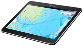
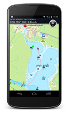
Navigation with Android - WinGPS Marine
Use your Android tablet or smartphone to show your current position on charts and plot routes. Including the route network for Western Europe and the Danube you are able to easily plot routes on the inland waters. Taking in account the measurements of your ship in combination with measurements of bridges, locks and waterways.