Update DKW 1811 and 1812 - 2019

The 2019 editions of the 1811 Wadden Sea West and 1812 Wadden Sea East were newly published in April by the Hydrographic Service and, of course, were also included directly in the updates of our DKW 1800 series 2019.

The update renews the bottom layer of the charts, among onther things. This mainly concerns changes in depth lines. A large part of the Wadden Sea was measured again in 2018 and early 2019. Some improvements have also been applied to the charts:


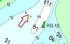
•  The buoyage direction is indicated more clearly. Color symbols next to the arrow indicate on which side of the navigation channel the red and green bouyage lie. See image.

•  The depth lines are blue instead of black, giving the map a fresher look.

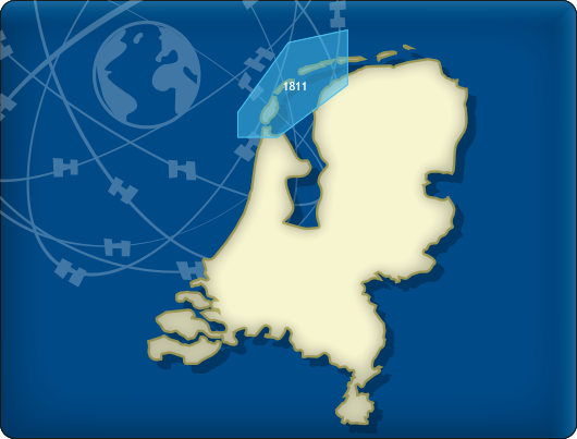
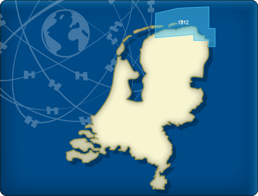
•  All BaZ messages (NtM) are processed in the new charts, including the P&T messages.

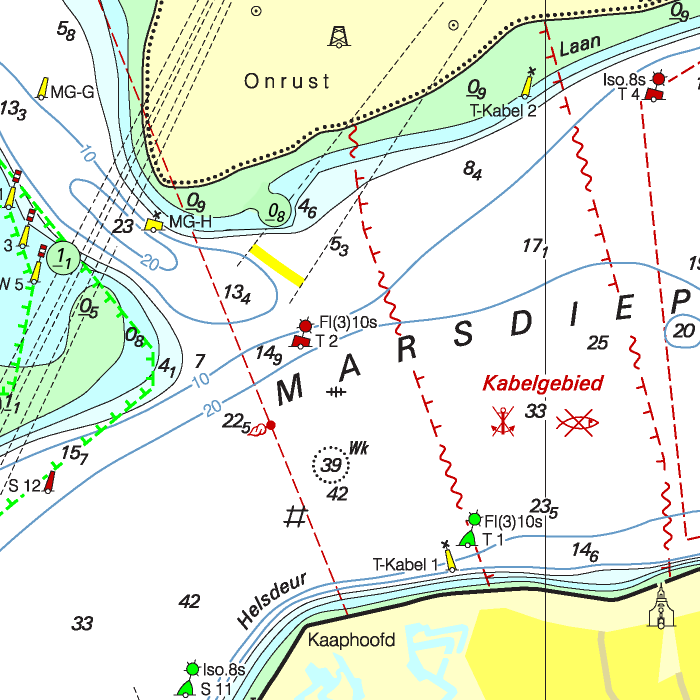
•  The sailing route over the Waardgronds no longer has bouyage but has been opened for a limited period of the year. This will be announced via further BaZ reporting. The route is now shown as a dotted line on the map.


Are you already in possession of the 2019 edition of these cards?

Then you can download the updates for free in WinGPS.

DKW 1811 Wadden Sea West

DKW 1812 Wadden Sea East


Always up-to-date

These chart sets provide you with the free weekly update service of the BaZ-messages (NtM). You have the option to use the charts on the laptop and simultaneously on an Android device. This way you can always have an up-to-date map in your pocket for these busy and changing waters. As soon as a new paper chart is issued by the Hydrographic Service, license holders of the DKW 1800 series can download the chart digitally. If desired, the charts can also be printed for your own use.

The current depth marks of Rijkswaterstaat are supplied with these charts. The depths are shown in both NAP and LAT. These depth marks are updated monthly. Perfect for those who want to plan a tidal crossing.