|
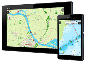
If you are only sailing for a few weeks per year and are looking for affordable navigation on the Dutch inland waters you can download our newest Android app now: DKW the Netherlands.
With this app you can purchase a subscription for our Dutch inland water chart and easily create simple routes. Navigating on a tablet or smartphone becomes particularly suitable for sailboats and motorboats as well as dinghies, fisherboats and canoes.
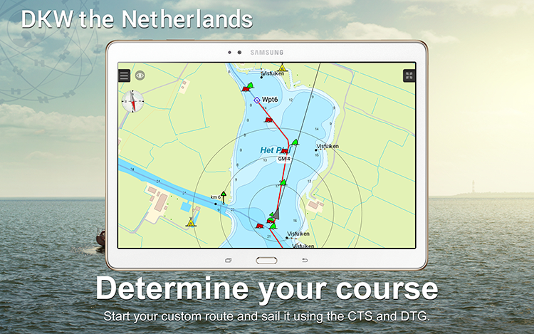
DKW the Netherlands
For only € 15,- you can start using the DKW the Netherlands North or South for a month on an Android tablet or smartphone. With your first subscription you will receive a free 3-day trial period.
Thanks to the biweekly updates, the accurate surface chart and the help of many long-time users this chart always remains up-to-date. With nearly 40.000 waypoints all information on buoys, harbours, berths, diesel filling stations, watersport campings and VHF channels can be found on the chart. With a scale of 2 meter per pixel the chart has a large detailed view and makes it possible to zoom in up until your home port.
|