| Important update available for DKW 1811 and DKW 1812 |
|
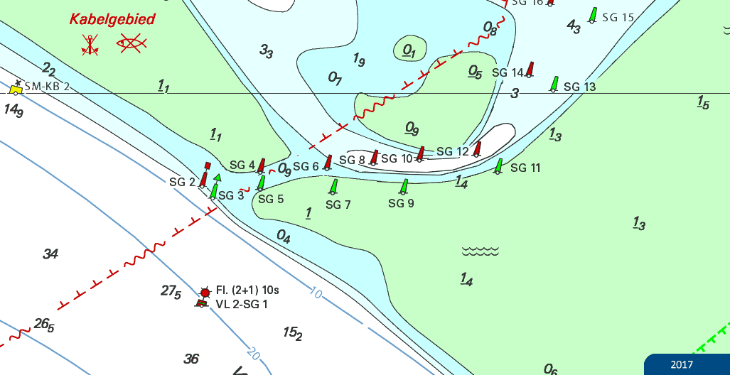
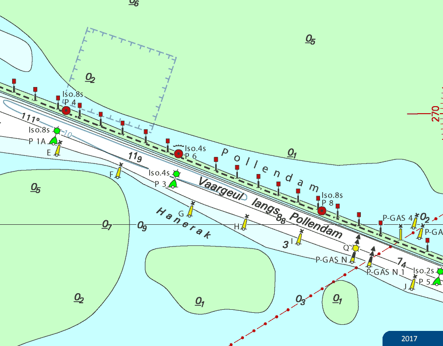
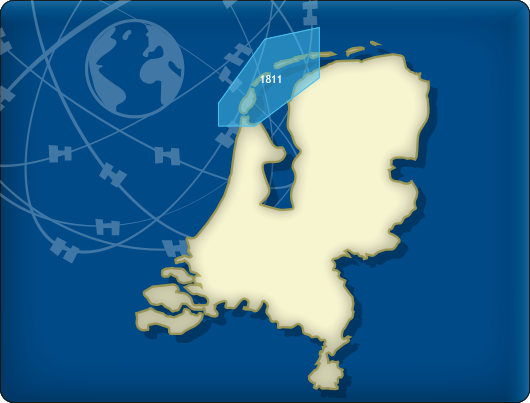
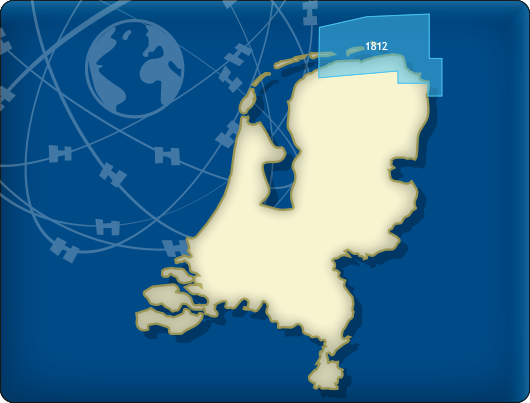
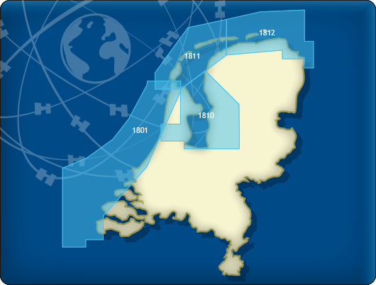
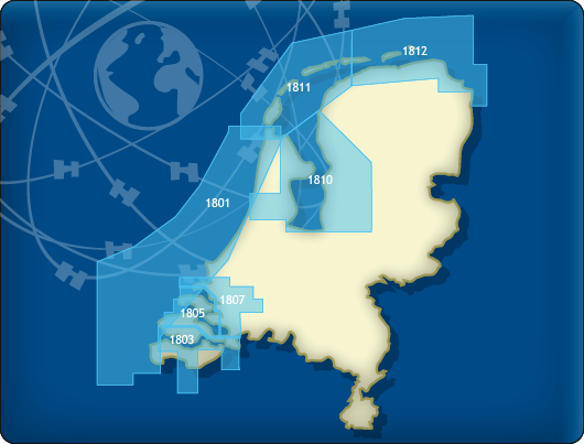
The Dutch Hydrografic Service released the 2018 editions of the paper versions of the DKW 1811 and DKW 1812 for the Wadden Sea. Last Friday these updates became available through our weekly BaZ updates for the DWK 1800 series 2018. The most important changes were made at major junctions with, a.o. the Schuitengat, Molengat, Pollendam and the new Robbengat at the 'Rug' on the Lauwersmeer. The depth lines, depth numbers and waterway marks around fairways and harbours are updated (See images below). On various other locations changes were made to the depth image and waterway marks. More than half of all depth states from Rijkswaterstaat have been updated. These can be found on the chart in the form of waypoints shown as blue triangles, ideal for planning a route on tidal waters.
Updating
If you haven't bought the 2018 edition of the DKW 1800 series yet, you can order them now in our webshop. After approval of your payment the chart set will become available on your account and can be installed via de DKW Manager (Windows) or from the chart manager (Android). If you have the Service Card 2018 you will receive
The DKW 1811 and DKW 1812 are also available in the following chart sets; DKW 1800 North & DKW 1800 Complete.
|