| Update: DKW 1811 & DKW 1812 (2016) |
|
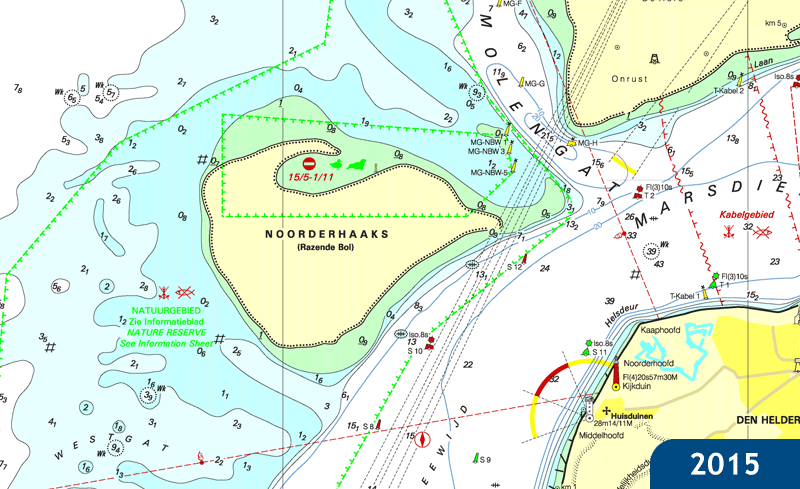
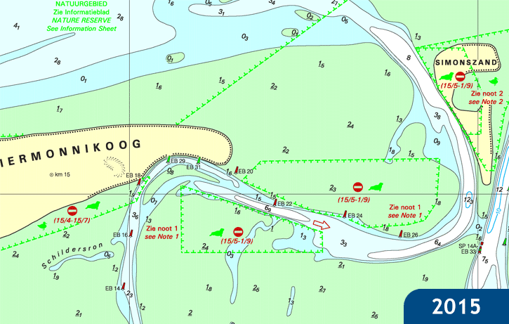
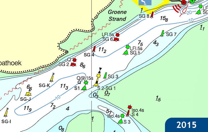
This month the Dutch Hydrographic Services released the 2016 (paper) editions of DKW 1811 & DKW 1812. Compared to the previous edition significant changes were made to the depth images of the Waddensea. The Islands Noorderhaaks and Schiermonnikoog even changed in size. A lot of fairways have also been adjusted. For example, the Schuitergat between Terschelling and Harlingen has been moved to the south and has deepened. Users with a 2016 license for these charts van update free of charge.
| ||||||