The new digital chart of Northwest Germany has been developed for sailors and commercial shippers in Western Europe.
This chart may be used in the free WinGPS 5 Lite for Windows and may also be installed in the WinGPS™ Marine apps for Android™. For route planning with AIS you need WinGPS 5 Pro or Voyager.
The chart seamlessly connects to Vaarkaart Nederland, Vaarkaart België, DKW 1800, DKW German Bight and DKW German Baltic Coast.
Coverage of Vaarkaart Northwest Germany
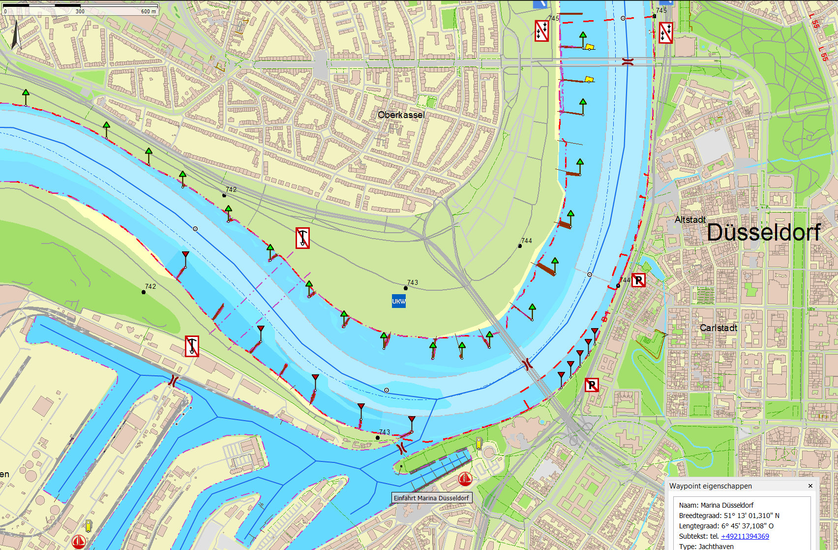
- The Rhine between Leverkusen and Lobith (km. 700 - 785)
- The canals in the Ruhr area
- The Ems and the Dortmund Emskanal
- The Mittellandkanal and the Stichkanalen
- The Küstenkanal
- The Ems-Jade-Kanal
- Canals between Emden and Oldenburg
- The Weser up to the Hünte (km 33)
- The Aller
- Elbe between Bleckede and Hamburg (km. 550 – 610) with the Elbe-Lübeckkanal, the Elbe-Seitenkanal and the Schifffahrtweg Elbe-Weser
Specifications of the chart
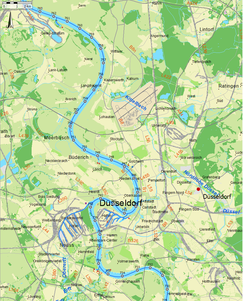
The scale of the detail charts is 2m/pixel, which means 1:7.200 on your screen. This is the same scale as the new Vaarkaart Nederland, België and Northern France. The overview chart with scale 20m/pixel connects well to the detailed chart with zooming in and out. The scale of the overview chart is about 1:72.000 on the screen.
On the PC, tablet or smartphone you need 1.7GB of disk space. The waypoint database consists of waypoint groups which you can switch on/off in WinGPS 5, so you only use the data what you want. This database will be updated throughout the edition year.
About the sources
Using additional information sources and processing the comments and suggestions of many users, the Vaarkaart Northwest Germany will be improved and released each year. The base chart is based on, when available, the official Inland ENC-kaarten.