


ENG - Compleet navigatiesysteem voor aan boord
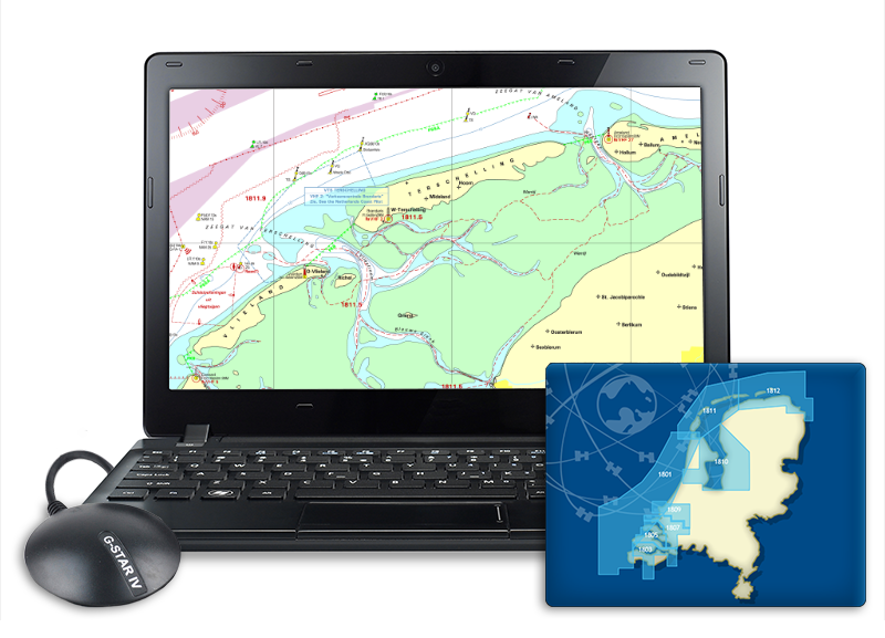
Complete navigation system on board We are happy to help you make the right choice when it comes to navigation solutions. We select the laptops & mini PCs especially in response to your wishes for on board and we deliver them completely ready for use. The latest WinGPS 5, water charts and USB GPS receiver are installed on this. We can also help you with figuring out which navigation software and charts you need for your trip and with putting together your AIS system. Fill in the quotation form and you will receive a free advice as soon as possible! |


