


|
Free to download
This water chart is free to download and can be used on your Windows PC, iPhone, iPad or Android tablet or smartphone.
|


DKW Friese Meren
This is the perfect chart when you want to sail on the Friese Meren. The DKW Friese Meren is free to give you an experience with Stentecs navigation software and digital charts.
All inland waterways for south west Friesland are covered. Ideal when you have rented a boat, but also for skipper or crew of a sailing boat, motor boats and dinghies on the Friese meren. Even when you have a canoo or kajak or are planning a fishing trip on the Friese meren you can use this chart.
This chart is developed in cooperation with the Friese Meren Project. Thanks to accurate depth measurements by the Province Fryslân this chart contains a highly detailed depth image.
The DKW Friese Meren is freely available for you to get to get acquainted with Stentec navigation software and digital water charts.
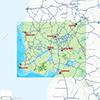
Covering area
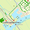
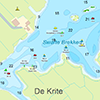
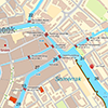
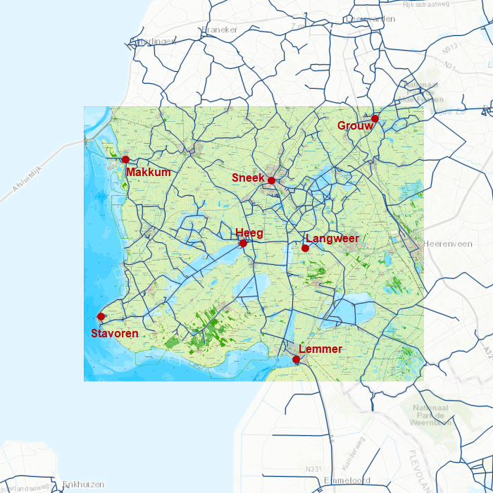
This chart covers the Friese Meren area from Stavoren and Lemmer up until Grou and Makkum. Including all lakes and waterways in between:
|
|
|
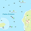
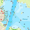
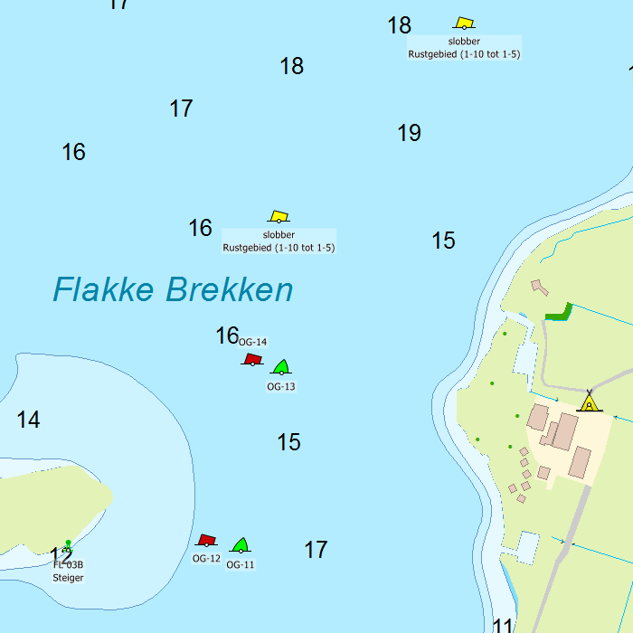
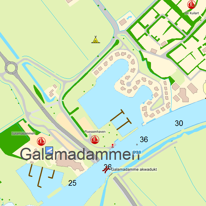
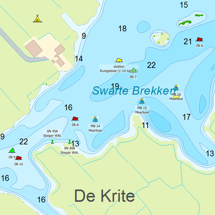
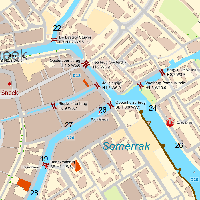
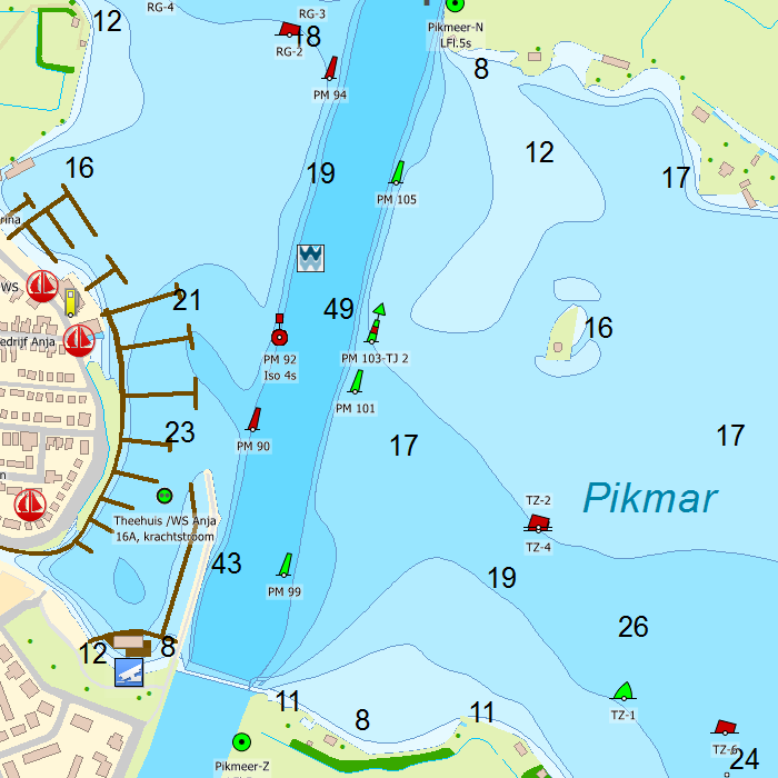
Depth image
This chart set has a unique and clear depth image with distinctly colored depth surfaces on the lakes and depth numbers along the waterways. The chart is published by Stentec in collaboration with Provincie Fryslân, based on the most recent depth measurements from the Friese Meren Project. The chart has a high level of detail with 1 meter per pixel, making it possible to zoom in up until the jetties at your home port.
This hybrid chartset consists of, a.o.
- 1 Highly detailed chart for orientation and route planning (scale 1:3.000, 1m/pixel).
- 1 Overview chart (scale 1:18.000, 6m/pixel).
Chart image
Stentecs inland water charts are so-called hybrid charts. The bottom surface is a raster format. This is where a.o. the quays, depths and buildings are shown. All other navigational information is projected on top of this through waypoints. These waypoints remain the same size when zooming in or out. The chart can be fully personalized by adding or removing certain waypoint groups and showing you only the information you select.
In total, the DKW the Netherlands has 2.401 waypoints, with a.o. buoys, harbours, moorings, Marrekrite moorings, diesel tank stations, watersport campsites, VHF channels, electric chargers ‘Elektrisch Varen’ and ‘Varen Doe Je Samen’ nodes.
Specifically for commercial shipping waterway signs and VIN moorings are added.
System requirements
Windows laptop or PC:- Official WinGPS version
- 230 MB free disc space
- Windows XP, Vista, 7, 8 or 10 with DirectX 9 video card (or higher)
- Official WinGPS Marine version
- 230 MB free disc space
- Android operating system minimum of 2 GB RAM or an iOS device (minimum iOS 12.1)
This chart set can be used in the free WinGPS Lite for Windows and can also be installed in the WinGPS Marine apps for Android. For route planning with rotating chart and AIS you will need WinGPS Pro or the paid version of WinGPS Marine. Click here for more information about the WinGPS series.


